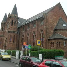
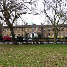
Upper Norwood, Residential district in southeast London, England.
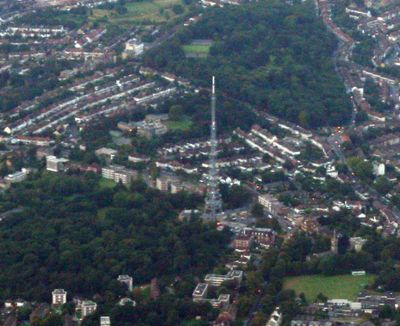
Upper Norwood is a residential district in southeast London spanning four boroughs, situated on a clay ridge with elevated terrain. From this vantage point, the area offers views across central London and toward the North Downs.
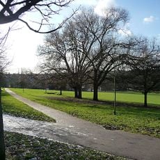
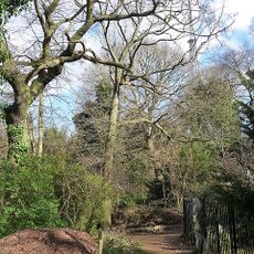
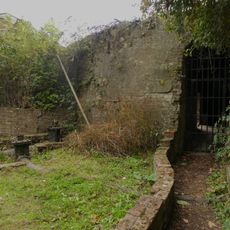
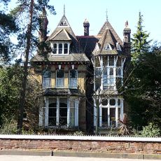
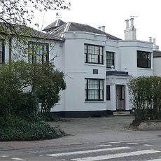
The area was part of the Great North Wood until the 19th century, when residential construction transformed it into an urban settlement. This shift marked the transition from woodland landscape to a developed neighborhood.
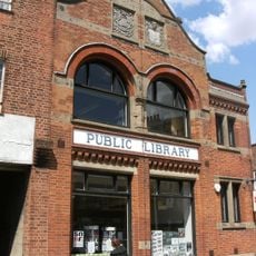
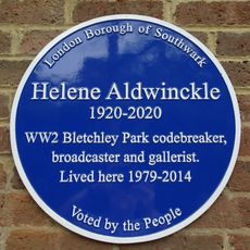
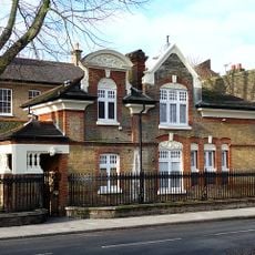
The independent Upper Norwood Library, established in 1899, holds extensive local historical records that reflect community life over generations. This institution remains a gathering place where visitors can explore the neighborhood's story through its archives.
The neighborhood connects to central London through multiple bus routes, compensating for limited rail access due to its elevated terrain. These bus services provide convenient connections despite the geographic challenges of the location.
A dog named Pickles made a remarkable discovery in 1966 when it found the stolen Jules Rimet World Cup trophy hidden under bushes in Beulah Hill. This unexpected event remains a peculiar part of local history, a moment when an ordinary dog became the subject of worldwide attention.
Location: London Borough of Croydon
Location: London Borough of Bromley
Location: London Borough of Lambeth
Location: London Borough of Southwark
GPS coordinates: 51.41960,-0.08770
Latest update: December 7, 2025 10:04
Crystal Palace transmitting station
1 km
Norwood Park
739 m
St John the Evangelist, Upper Norwood
1 km
Upper Norwood Library
438 m
Dulwich Upper Wood
833 m
Christ Church, Gipsy Hill
368 m
Church of All Saints Upper Norwood
946 m
SS Constantine and Helen Church, Upper Norwood
486 m
Swedenborgian Church
1 km
Helene Aldwinckle blue plaque
882 m
Pedestrian Subway Under Crystal Palace Parade (That Part In London Borough Of Southwark)
782 m
Monument To Vice Admiral Robert Fitzroy In All Saints' Churchyard
927 m
75, Beulah Hill
783 m
Base of the southern water tower to the Crystal Palace including attached low walls, brick-lined trenches and pipework
749 m
The Upper And Lower Terrace Of The Crystal Palace Gardens
1 km
War Memorial at Westow Street
443 m
Rockmount
644 m
71, Beulah Hill
739 m
Cast-iron column from the Crystal Palace
766 m
9 Harold Road
580 m
St Valery
607 m
Elderwood
882 m
77, Beulah Hill
793 m
62A, Elder Road Se27
908 m
Pillar Box Outside No 36
814 m
Tivoli Lodge
766 m
Everyman Crystal Palace
593 m
3-6 Church Road
640 mVisited this place? Tap the stars to rate it and share your experience / photos with the community! Try now! You can cancel it anytime.
Discover hidden gems everywhere you go!
From secret cafés to breathtaking viewpoints, skip the crowded tourist spots and find places that match your style. Our app makes it easy with voice search, smart filtering, route optimization, and insider tips from travelers worldwide. Download now for the complete mobile experience.
A unique approach to discovering new places❞
— Le Figaro
All the places worth exploring❞
— France Info
A tailor-made excursion in just a few clicks❞
— 20 Minutes