Holloway, Residential district in North London, United Kingdom
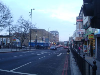
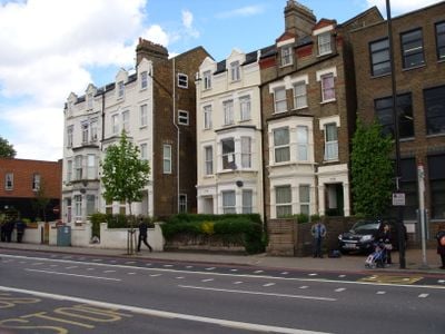
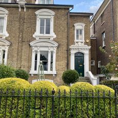
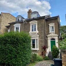
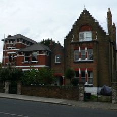
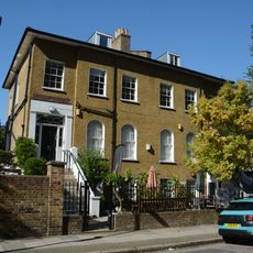
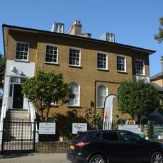
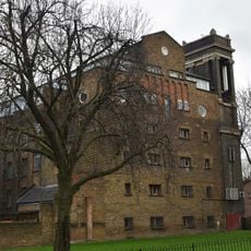
Holloway is a residential district in North London that stretches along the road of the same name, linking Archway to Highbury. The housing consists mainly of Victorian terraces built in red brick, many converted into rental flats, with shops and cafés occupying the ground floors at major intersections.
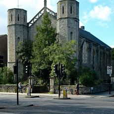
The hamlet grew in medieval times along an old thoroughfare leading north to farmland, worn deep by cart traffic over the centuries. Housing expanded rapidly during the 19th century when workers moved out from the center and brick terraces replaced the fields.
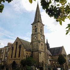
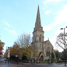
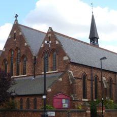
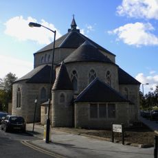
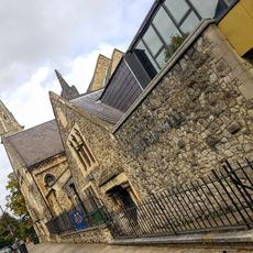
The Irish heritage appears in several Catholic churches and community centers along the main streets. Families from the Caribbean and other Commonwealth countries have opened restaurants, barbershops, and small stores that give the neighborhood its everyday character.
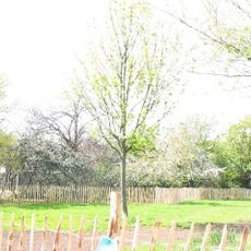
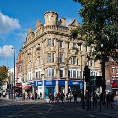
Several Underground stations lie within a few minutes' walk of each other, making it easy to explore the area in sections. The main road is wide and often busy with traffic, while smaller side streets lead into quieter residential pockets with parks and playgrounds.
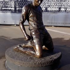
The local football stadium stands just a few hundred meters from the main road and draws tens of thousands of supporters on match days, filling nearby pubs and food stalls. On non-match days, the stadium offers tours that let visitors see the dressing rooms and the pitch.
The community of curious travelers
AroundUs brings together thousands of curated places, local tips, and hidden gems, enriched daily by 60,000 contributors worldwide.