River Ouse, Major waterway in Yorkshire, England.
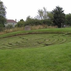
The River Ouse is a waterway in Yorkshire, England, that reaches a length of 84 kilometers and receives several tributaries before it joins with the River Trent and forms the Humber Estuary. The width varies along its course, and shallow sections alternate with deeper stretches, while the banks are lined with meadows, fields and occasional old settlements.
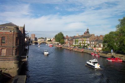
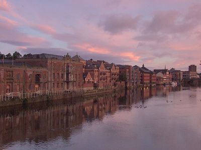
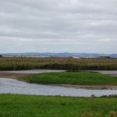
The river served as a trade route since Roman times and allowed York to grow as an important port for agricultural goods and other merchandise. In the Middle Ages, merchants and travelers used the waterway heavily, and only later did roads gain importance.
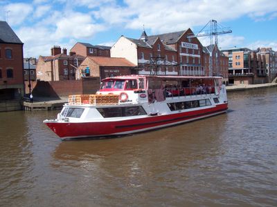
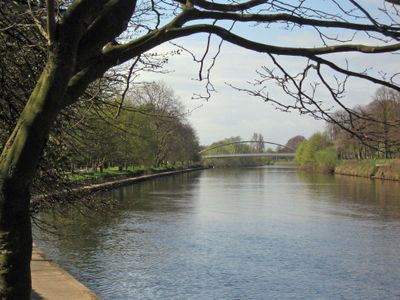
The river links several towns and villages across Yorkshire and continues to shape the valley landscape today. Anglers and walkers use the banks regularly, while boats drift slowly through the calm water.
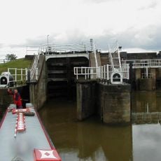
Navigating the river is subject to restrictions that limit boats to 17.5 meters (57 feet) in length, 4.77 meters (16 feet) in beam, and 5.94 meters (19 feet) in height at Naburn Bridge. Walking paths along the banks offer access to different sections, and the terrain is mostly flat and easy to walk.
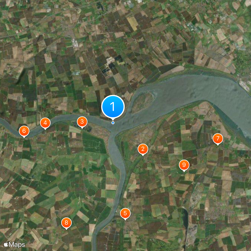
The river system includes several Sites of Special Scientific Interest, including Clifton Ings and Rawcliffe Meadows, which protect local ecological zones. In these sections, rare plants and bird species can be observed that are hardly found elsewhere in the region.
The community of curious travelers
AroundUs brings together thousands of curated places, local tips, and hidden gems, enriched daily by 60,000 contributors worldwide.