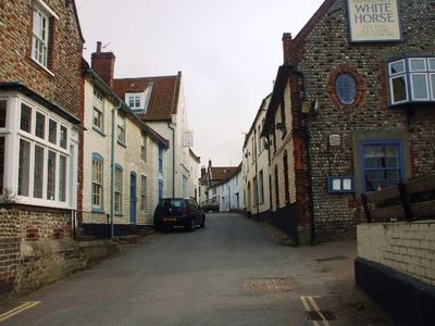
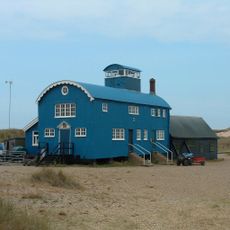
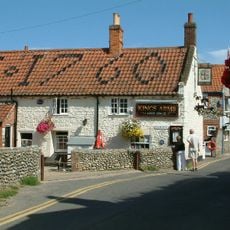
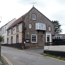
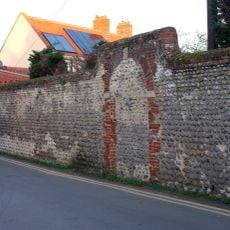
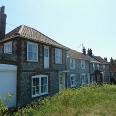
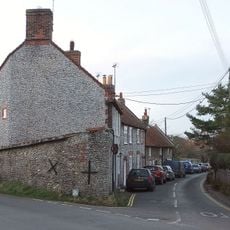
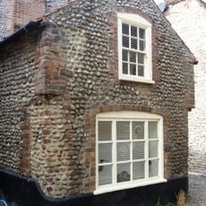
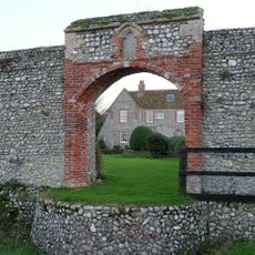
Blakeney, Coastal administrative division in North Norfolk, England.
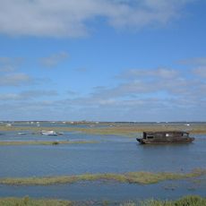
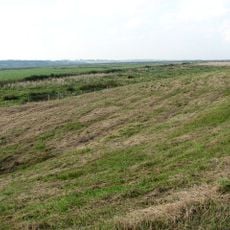
Blakeney is an administrative division on Norfolk's north coast that spreads across salt marshes and mudflats. This landscape creates natural habitats for many bird species and forms an important ecosystem within the coastal region.
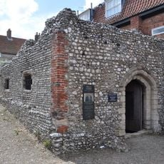
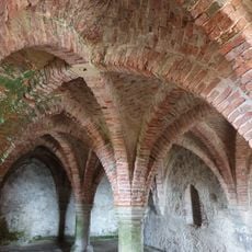
The location appears in the Domesday Book of 1086 as Esnuterle and served as a major trading port until the early 20th century. Its decline as a port resulted from natural coastal changes that reshaped the region's economy.
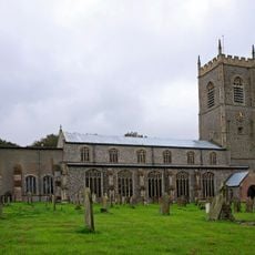
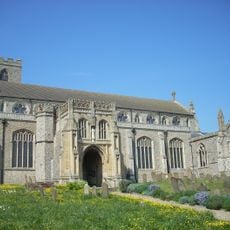
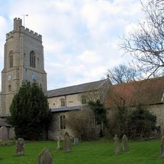
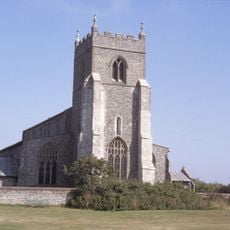
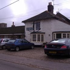
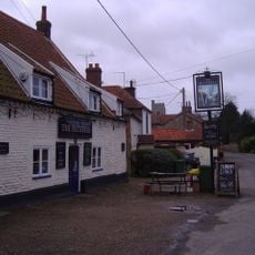
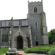
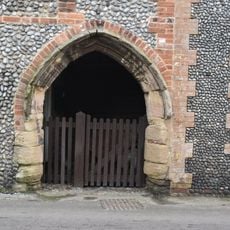
The Church of St Nicholas shapes the village's identity with its twin towers visible from afar. The building remains a gathering point for local events and reflects the community's long-standing religious traditions.
Visitors find good conditions here for nature observation, especially for bird watching across the salt marshes. The best time to explore is during lower water levels, when the mudflats become easier to access.
The harbor underwent dramatic change through natural siltation and now accommodates only smaller vessels passing through Blakeney Point. This geographic transformation demonstrates how nature has reshaped a settlement's fate over centuries.
Location: North Norfolk
GPS coordinates: 52.95374,1.01316
Latest update: December 7, 2025 19:28
Blakeney Point
3.5 km
North Norfolk Coast Site of Special Scientific Interest
975 m
St Nicholas Church, Blakeney
829 m
Blakeney Chapel
2.3 km
Cley Windmill
2 km
Wiveton Hall
1.4 km
St Margaret's, Cley
2.4 km
Blakeney Guildhall
386 m
Blakeney Windmill
818 m
Langham Dome
3.6 km
Church of St Mary and St Andrew
3.1 km
Church of St Mary
2.1 km
Kings Arms Inn
145 m
Church of All Saints
4.6 km
Church of All Saints
1.7 km
The Anchor Public House
1.7 km
Medieval undercroft known as the Guildhall
389 m
The Bluebell
3.1 km
Blakeney War Memorial
548 m
White Horse Public House
358 m
Boundary Wall From North West Corner Of Quay Barn Westwards Along The Quay And Southwards Along Westgate Stret
171 m
Wiveton War Memorial
2.1 km
4, Mariners Hill
451 m
Claremount House
640 m
46, High Street
365 m
Medieval Arch Incorpated Into Maison Du Quai
2 km
Friary Farmhouse
717 m
The Old School And Boundary Wall
5.1 kmVisited this place? Tap the stars to rate it and share your experience / photos with the community! Try now! You can cancel it anytime.
Discover hidden gems everywhere you go!
From secret cafés to breathtaking viewpoints, skip the crowded tourist spots and find places that match your style. Our app makes it easy with voice search, smart filtering, route optimization, and insider tips from travelers worldwide. Download now for the complete mobile experience.
A unique approach to discovering new places❞
— Le Figaro
All the places worth exploring❞
— France Info
A tailor-made excursion in just a few clicks❞
— 20 Minutes