
Cleveleys, town on the Fylde Coast of Lancashire, England
Location: Wyre
Part of: Thornton-Cleveleys
GPS coordinates: 53.88100,-3.04000
Latest update: March 3, 2025 23:34
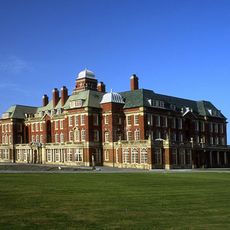
Miners' Convalescent Home
4.1 km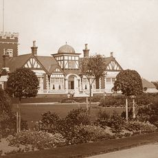
The Illawalla
4.3 km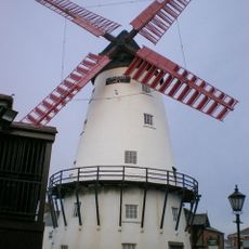
Marsh Mill
2 km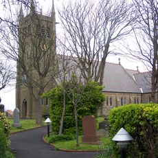
Bispham Parish Church
2.7 km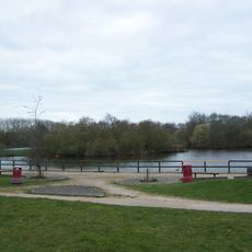
Kincraig Lake Ecological Reserve
3 km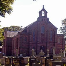
Church of St John the Evangelist, Poulton-le-Fylde
4.8 km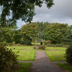
Moor Park, Blackpool
3.7 km
Bispham Rock Gardens
3.5 km
Christ Church, Thornton
1.3 km
Fylde Memorial Arboretum and Community Woodland
3.8 km
St Nicholas' Church, Fleetwood
4.2 km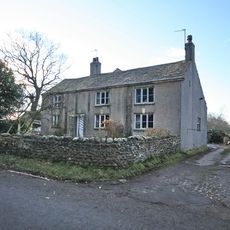
Raikes Farmhouse
3.4 km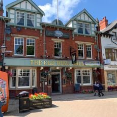
Old Town Hall, Poulton-le-Fylde
4.9 km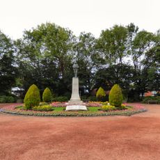
Thornton-Cleveleys War Memorial
2.2 km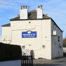
Wardleys Pub
4.8 km
Brook Farm
3 km
Mary’s Shell
1.2 km
Church of St Andrew
258 m
All Saints Church, Anchorsholme
1.6 km
Rossall School Chapel
1.5 km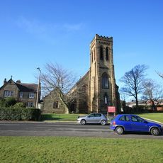
Sacred Heart Catholic Church
2.1 km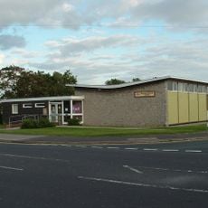
Anchorsholme Library
1.3 km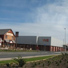
Vue Cleveleys
481 m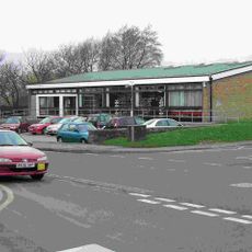
Poulton Library
4.9 km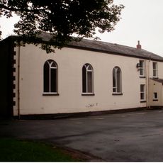
Former Chapel Of St John And Attached Priest's House
4.8 km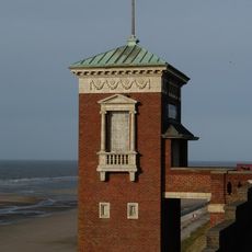
Cabin Lift
4.8 km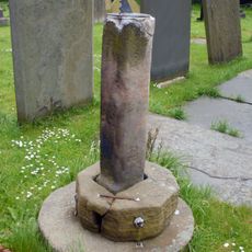
Sundial 7 Metres South Of Bispham Parish Church (All Hallows)
2.7 km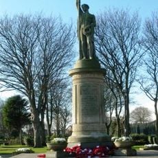
Fleetwood War Memorial
4.4 kmReviews
Visited this place? Tap the stars to rate it and share your experience / photos with the community! Try now! You can cancel it anytime.
Discover hidden gems everywhere you go!
From secret cafés to breathtaking viewpoints, skip the crowded tourist spots and find places that match your style. Our app makes it easy with voice search, smart filtering, route optimization, and insider tips from travelers worldwide. Download now for the complete mobile experience.

A unique approach to discovering new places❞
— Le Figaro
All the places worth exploring❞
— France Info
A tailor-made excursion in just a few clicks❞
— 20 Minutes