Enable Location

We need your location to show you interesting places around you

Discover nearby places

Find interesting locations and hidden gems around you

Precise directions

Get accurate directions and distances to places

Your location is never shared with other users. It's only used when you tap the location button.

Stansted Mountfitchet

Log in to your account

Start exploring — it's free

Trusted by 61,366 travelers worldwide

Continue with Google
Continue with Apple
or

We will send you a code to connect

By continuing, you accept our Terms and Conditions and our Privacy Policy

Check your inbox

We've sent a pincode in your inbox. Please enter the code below.

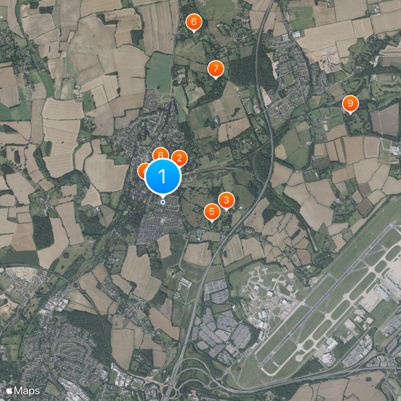
Stansted Mountfitchet, Administrative division in Uttlesford, England.

Description

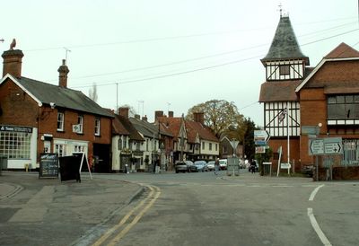
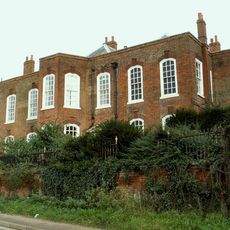
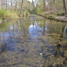
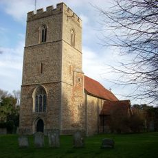
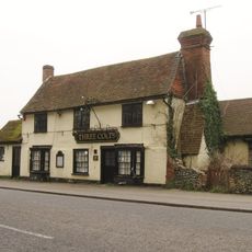
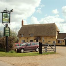
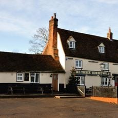
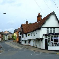
Stansted Mountfitchet is a village in Essex that spreads across gentle countryside with fields and green spaces. The settlement combines traditional rural structures with modern residential areas and facilities that link residents to larger towns nearby.

History

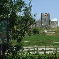
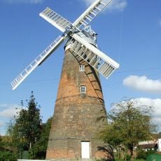
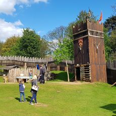
An 11th-century Norman fortress shaped the settlement and served as a key defensive structure during medieval times. This early military center gradually transformed into a rural community that eventually served as a waypoint between larger regional centers.

Culture

The village name derives from the Norman fortification that once dominated the landscape and remains a recognizable landmark today. This historical connection shapes how locals view their surroundings, making the past tangible in everyday village life.

Practical

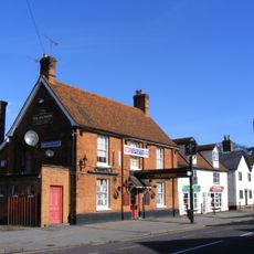
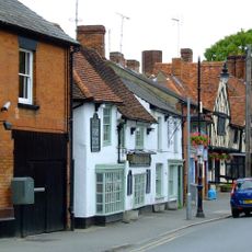
A railway station in the village connects residents and visitors to London and Cambridge, making public transport travel straightforward. The center has shops, schools, and restaurants that serve everyday needs and show the settlement functioning as a living community.

Did you know?

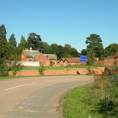
An ancient Roman road runs near the village and points to centuries of people traveling through this region. This old trade route shows how this area has been used by travelers for thousands of years.

Location
GPS coordinates
51.89800,0.19800
Latest update
December 20, 2025 14:16

AroundUs brings together thousands of curated places, local tips, and hidden gems, enriched daily by 60,000 contributors worldwide. Discover all places nearby (Uttlesford).

« Stansted Mountfitchet - Administrative division in Uttlesford, England » is provided by Around Us (aroundus.com). Images and texts are derived from Wikimedia project under a Creative Commons license. You are allowed to copy, distribute, and modify copies of this page, under the conditions set by the license, as long as this note is clearly visible.

Discover hidden gems everywhere you go!

From secret cafés to breathtaking viewpoints, skip the crowded tourist spots and find places that match your style. Our app makes it easy with voice search, smart filtering, route optimization, and insider tips from travelers worldwide. Download now for the complete mobile experience.

Around Us App Screenshot

A unique approach to discovering new places

Le Figaro

All the places worth exploring

France Info

A tailor-made excursion in just a few clicks

20 Minutes

Around Us
Travel Guide & Maps
Download

Send to your phone

QR Code
1

Open the camera app on your mobile.

2

Point at the QR code with your camera. A notification will appear.

3

Tap the notification to open the link.