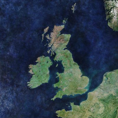
Geography of the United Kingdom, Geographic territory of four countries in British Isles, Europe
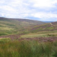
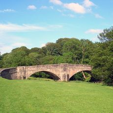
The geography of the United Kingdom comprises the territories of four countries on the British Isles in northwestern Europe, with mountains, hills and long coastlines. The main islands offer very different landforms, from the rugged Scottish Highlands through Welsh valleys to the plains of eastern England.
The British Isles formed through plate movements hundreds of millions of years ago, when rocks collided and created mountain ranges. Ice ages later carved the landscape and shaped valleys, while the islands separated from mainland Europe around 8000 years ago.
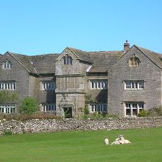
The landscape shapes daily life differently across the four countries, from highland communities in Scotland to lowland settlements in southern England. Each region developed its own traditions in working with the terrain, still visible today in building styles and ways of living.
The Gulf Stream moderates temperatures throughout the year and brings often changeable weather with regular rainfall across all regions. Between coastal areas and inland zones there are clear climatic differences, while higher ground remains noticeably cooler than lowland areas.
More than 6000 islands belong to the territory, but only around 130 of them are inhabited year-round. This variety of islands creates a wide range of microclimates and habitats within a relatively small area.
The community of curious travelers
AroundUs brings together thousands of curated places, local tips, and hidden gems, enriched daily by 60,000 contributors worldwide.