Cautley Spout, Cascading waterfall in Howgill Fells, England
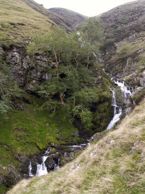
Cautley Spout is a waterfall in the Howgill Fells that tumbles down a steep cliff face in multiple sections. The entire cascade spans roughly 175 meters total height and forms part of the Yorkshire Dales landscape near Sedbergh.
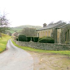
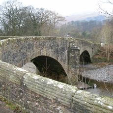
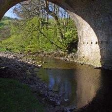
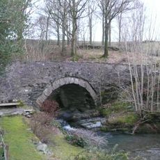
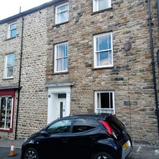
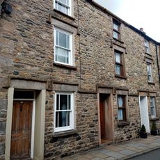
The nearby Cross Keys Inn has operated since the 17th century and later served as a National Trust temperance hotel. It marks a traditional starting point for walks to the waterfall and shows how this area became a destination for travelers over generations.
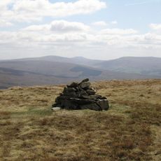
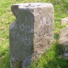
The area shows signs of ancient settlement, with information boards along the walking routes marking where people lived long ago. Visitors can see how this land has been shaped by human presence over thousands of years.
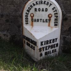
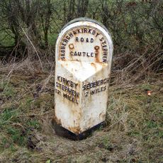
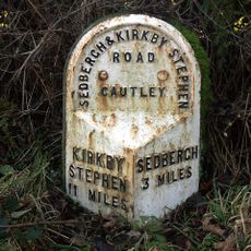
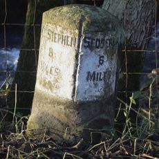
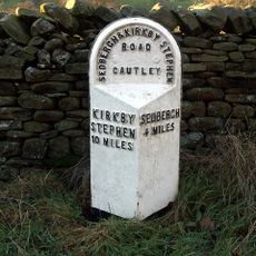
Two main walking routes lead to the waterfall: a shorter path of about 4 kilometers from Cross Keys Inn and a longer one of about 8 kilometers from Sedbergh town. Both routes follow established trails with varying terrain, so sturdy footwear and weather-appropriate clothing are helpful for the visit.
This waterfall ranks among England's highest freely falling water cascades, making it a standout feature in the landscape. The water's power has carved distinctive rock formations over time, which become especially visible from viewpoints along the walking routes.
Location: Sedbergh
GPS coordinates: 54.37223,-2.49314
Latest update: December 7, 2025 20:47
Yarlside
1.1 km
Holy Trinity Church, Howgill
5.3 km
Green Bell
4 km
Milestone 150 Yards North East Of Methodist Chapel (Ngr 724 995)
4.8 km
Garsdale Bridge To North West Of Farfield Mills
5.5 km
Church of St Mark
3.1 km
Wesleyan Methodist Church
3.5 km
New Bridge
5.8 km
Rawthey Bridge
3.3 km
Nuvic Cinema
5.8 km
Banty Gill Bridge
5.3 km
Former Smithy At Farfield Mills
5.6 km
Howgill War Memorial
5.3 km
95, Main Street
5.8 km
20, Back Lane
5.8 km
K6 telephone kiosk approximately 20 metres south east of Holy Trinity churchyard
5.3 km
79 And 81, Main Street
5.8 km
Milestone (Sedbergh 5) At Ngr 7045 9731 On A683
2.4 km
Milestone (Sedbergh 2) To South East Of Low Ridding
4.4 km
1, New Street
5.8 km
80, 82 And 84, Main Street
5.8 km
Milestone On East Side Of Lane Approximately 30 Metres South Of Fairmile Beck
5.1 km
Milestone (Sedbergh 3) To East Of Steps End
3 km
3 And 5, New Street
5.8 km
7 And 9, New Street
5.8 km
Milestone Circa 250 Yards To West Of Brig Cottage (At Ngr 716 981)
3.6 km
Milestone (Sedbergh 4) By High Wardses
2.1 km
Milestone, ExYW ½ mile S of bridge over R Rawthey
2.2 kmVisited this place? Tap the stars to rate it and share your experience / photos with the community! Try now! You can cancel it anytime.
Discover hidden gems everywhere you go!
From secret cafés to breathtaking viewpoints, skip the crowded tourist spots and find places that match your style. Our app makes it easy with voice search, smart filtering, route optimization, and insider tips from travelers worldwide. Download now for the complete mobile experience.
A unique approach to discovering new places❞
— Le Figaro
All the places worth exploring❞
— France Info
A tailor-made excursion in just a few clicks❞
— 20 Minutes