Sedbergh, town and civil parish in Cumbria, United Kingdom
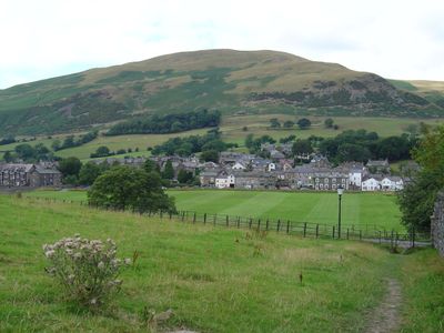
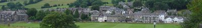
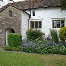
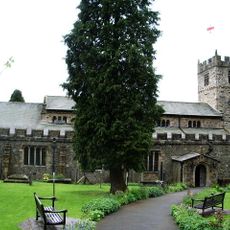
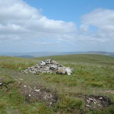
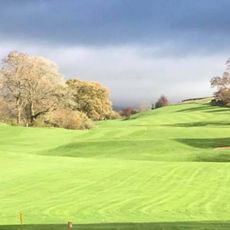
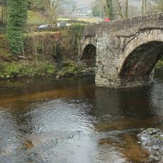
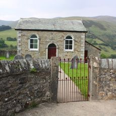
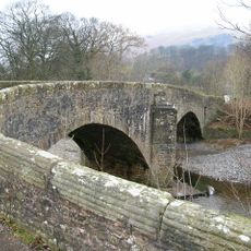
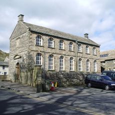
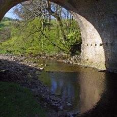
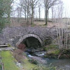
Sedbergh is a small town in Westmorland and Furness in northwest England and functions as a civil parish. It sits in a valley surrounded by green hills and offers the typical countryside setting of the Lake District region with rural landscapes and traditional English buildings.
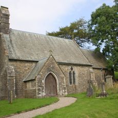
The place developed during medieval times as a significant center in this mountain region. Its growth was tied to local trade and community needs, shaping the settlement pattern that remains visible in the townscape today.
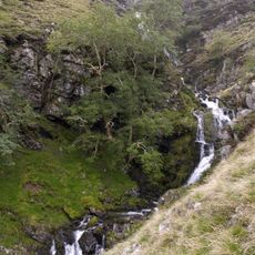
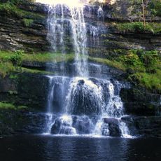
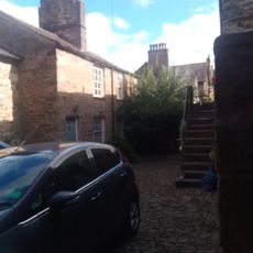
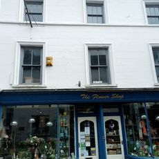
The best way to explore the town is on foot, walking through narrow streets and past local shops and eateries. It also serves as a good base for walks and outings into the surrounding countryside.
The community of curious travelers
AroundUs brings together thousands of curated places, local tips, and hidden gems, enriched daily by 60,000 contributors worldwide.