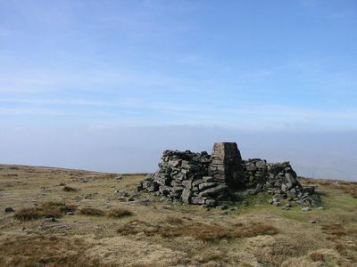
Wild Boar Fell, Mountain summit in Yorkshire Dales National Park, England
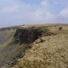
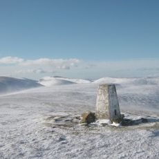
Wild Boar Fell is a 708 meter mountain in the Yorkshire Dales with a distinctive flat-topped profile and steep eastern cliffs. From the southern approach, the summit stands out clearly against the sky with its recognizable shape.
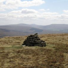
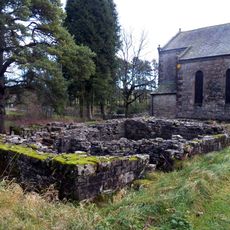
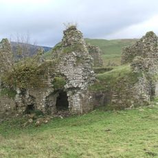
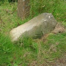
The mountain's stone formations were historically quarried for millstone production until the mid-1800s, a craft that once sustained local workers. Partially finished stones scattered on the slopes stand as silent witnesses to this former industry.
The name comes from the legendary wild boar said to have once roamed the fell and continues to echo in local stories. Visitors picking up on these tales gain a deeper sense of the place's connection to the people who live nearby.
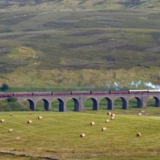
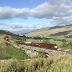
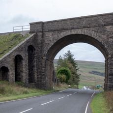
The walk to the summit starts near the A683 road and covers around 7 kilometers round trip from the parking area. The route uses gates and narrow country lanes that are generally easy to follow through the landscape.
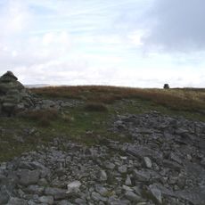
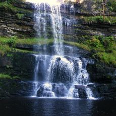
Sand Tarn sits in a hollow west of the summit, offering a quiet contrast to the open moorland surroundings. The Nab section contains ancient stone cairns scattered across the landscape, marking pathways from centuries past.
Elevation above the sea: 708 m
GPS coordinates: 54.38437,-2.37419
Latest update: December 10, 2025 20:02
Pendragon Castle
4.5 km
Wharton Hall
7.5 km
High Seat
5 km
Dandrymire Viaduct
7.4 km
Baugh Fell
7.4 km
Yarlside
7.2 km
St Oswald's Church, Ravenstonedale
6.5 km
Ravenstonedale Priory
6.5 km
Green Bell
6.3 km
Uldale Force
3.8 km
Milestone 150 Yards North East Of Methodist Chapel (Ngr 724 995)
3.5 km
Lammerside Castle
6.1 km
Rawthey Bridge
4.5 km
Hell Gill Bridge
3.4 km
Garsdale Milestone Immediately East Of Boundary Marker
7.2 km
Ais Gill Viaduct
2 km
Cross shaft base and sundial 10 yards to south of church
6.5 km
Milestone Opposite Tarn House (At Ngr Ny 749 034)
4.7 km
Boundary Stone To East Of White Brackens House (Nateby Parish)
6.1 km
Milestone (Sedbergh 5) At Ngr 7045 9731 On A683
5.5 km
Milestone 850 Yards To North East Of Studfold (At Ngr 734 007)
3 km
Garsdale Boundary Marker At Country Boundary Of North Yorkshire And Cumbria
7.2 km
Milestone (Sedbergh 4) By High Wardses
6.7 km
Moorcock Road railway bridge
7.2 km
Milestone Circa 250 Yards To West Of Brig Cottage (At Ngr 716 981)
4.3 km
Milestone, ½ mile N of Moorcock Inn
6.6 km
Milestone, ExYW ½ mile S of bridge over R Rawthey
5.7 km
Milestone, Wharton Fell, a mile S of jct with A685
5.7 kmVisited this place? Tap the stars to rate it and share your experience / photos with the community! Try now! You can cancel it anytime.
Discover hidden gems everywhere you go!
From secret cafés to breathtaking viewpoints, skip the crowded tourist spots and find places that match your style. Our app makes it easy with voice search, smart filtering, route optimization, and insider tips from travelers worldwide. Download now for the complete mobile experience.
A unique approach to discovering new places❞
— Le Figaro
All the places worth exploring❞
— France Info
A tailor-made excursion in just a few clicks❞
— 20 Minutes