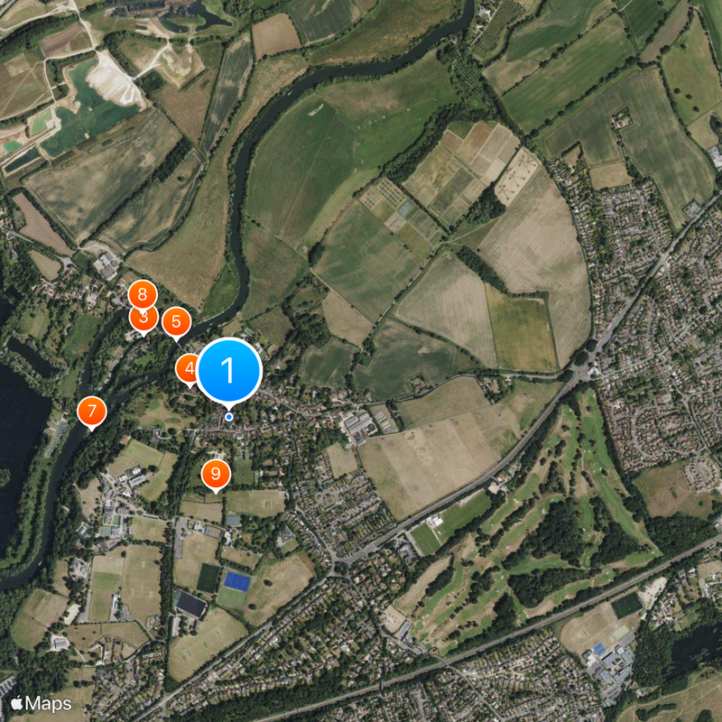
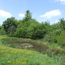
Sonning, Civil parish on River Thames in Berkshire, England
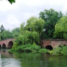
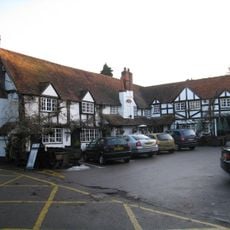
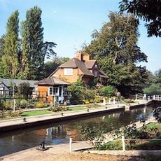
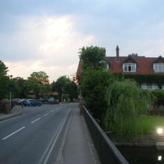
Sonning is a triangular-shaped village straddling both banks of the River Thames, featuring Georgian buildings and traditional English cottages along narrow streets. The settlement retains its historic layout with a mix of older structures and local businesses.
The settlement appears in the 1086 Domesday Book as Soninges, deriving from the Old English name Sunna combined with ingas, meaning followers. Over centuries, the place evolved into an established village centre on the Thames.
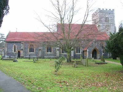
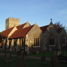
St Andrew's Church displays preserved Anglo-Saxon stone carvings and has served as the community's religious heart since medieval times. The church shapes the village's character and draws visitors interested in its historical importance.
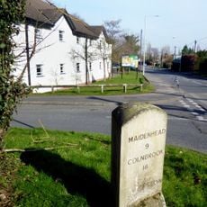
The location is accessible via the B478 road, but there is no local railway station, so people rely on Reading or Twyford stations for rail travel. Visitors should plan to arrive by car or use public transport from nearby stations.
A railway accident in 1841 near the location killed nine passengers and prompted major improvements to railway safety in Britain. This event marked a turning point for rail travel and its regulation.
Location: Wokingham
GPS coordinates: 51.47300,-0.91100
Latest update: December 19, 2025 23:08
The Deanery
165 m
The Mill at Sonning
462 m
St Andrew's Church, Sonning
192 m
Sonning Bridge
366 m
Bull Inn
102 m
Sonning Lock
534 m
Sonning Backwater Bridges
528 m
Ali's Pond Local Nature Reserve
294 mPump At The Corner Of Park Lane And The Old Bath Road
1.7 kmSpring Cottages
333 mCleavers Deanery Cottage
79 mCountry Cottage
52 m
Milestone, On Grass Verge Back Of Pavement 500 Metres East Of Junction With Sonning Lane
799 mLilac Cottage
69 m
Milestone On Grass Verge,100 Metres East Of Junction With Bath Road
1.5 kmRing ditch cropmark E of St Patrick's Avenue
1.9 kmBarn Approximately 40 Metres East Of Frizer's Farmhouse
713 mIvy Cottage
77 mThe Old Cottage
55 mLittle Court
385 mWall Between Site Of Former Palace Of Bishops Of Salisbury And Churchyard
175 mThe Homestead
812 mCropmark site E of Broadmoor Lane
1.3 kmMill House
442 mCropmark enclosure and pits NE of St Patrick's Avenue
2 kmCropmark complex SW of St Patrick's Avenue
1.5 kmCropmark complex in Straighthanger Field
974 mEyot House
845 mVisited this place? Tap the stars to rate it and share your experience / photos with the community! Try now! You can cancel it anytime.
Discover hidden gems everywhere you go!
From secret cafés to breathtaking viewpoints, skip the crowded tourist spots and find places that match your style. Our app makes it easy with voice search, smart filtering, route optimization, and insider tips from travelers worldwide. Download now for the complete mobile experience.
A unique approach to discovering new places❞
— Le Figaro
All the places worth exploring❞
— France Info
A tailor-made excursion in just a few clicks❞
— 20 Minutes