Hamoaze, Tidal estuary between Cornwall and Devon, Great Britain
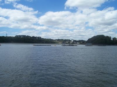
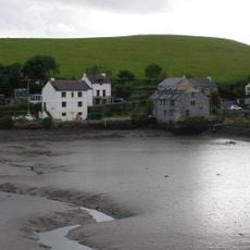
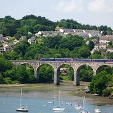
The Hamoaze is a tidal estuary in southwest England where the River Tamar widens substantially between the Lynher confluence and Plymouth Sound, marking the boundary between two counties. Mud-banks are exposed at low tide along this waterway.
The name was first recorded in 1588 as 'ryver of Hamose', referring to a creek near the Ham estate north of what became the Devonport naval base. This early reference reveals long-standing human activity along the waterway.
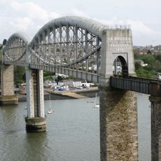
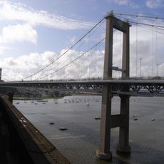
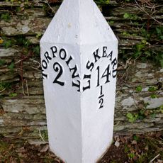
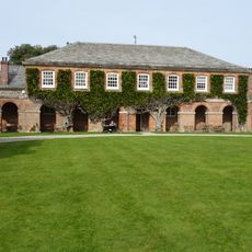
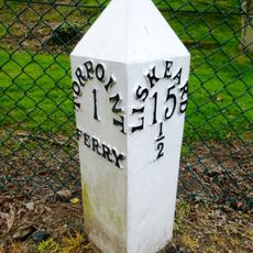
Communities on both banks rely on ferry connections to cross the waterway daily, shaping how people move between Saltash, Wilcove, and Torpoint on the Cornish side with Devonport and Plymouth across in Devon. These routes are woven into the rhythm of local life and work.
The Torpoint chain ferry accommodates vehicles while the Cremyll service is designed for pedestrians and cyclists crossing between the two sides. Both operate on daily schedules and provide the main connections across this waterway.
The name derives from Old English 'wase' meaning mud, which aptly describes the silt-laden banks and mudflats that characterize this waterway. This linguistic detail reveals how the place's most visible feature shaped its original naming.
The community of curious travelers
AroundUs brings together thousands of curated places, local tips, and hidden gems, enriched daily by 60,000 contributors worldwide.