Enable Location

We need your location to show you interesting places around you

Discover nearby places

Find interesting locations and hidden gems around you

Precise directions

Get accurate directions and distances to places

Your location is never shared with other users. It's only used when you tap the location button.

Log in to your account

Start exploring — it's free

Trusted by 60,649 travelers worldwide

Continue with Google
Continue with Apple
or

We will send you a code to connect

By continuing, you accept our Terms and Conditions and our Privacy Policy

Check your inbox

We've sent a pincode in your inbox. Please enter the code below.

Merionethshire, Historic county in northwestern Wales, United Kingdom

Description

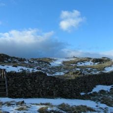
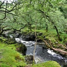
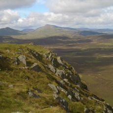
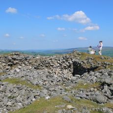
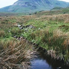
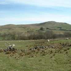
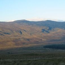
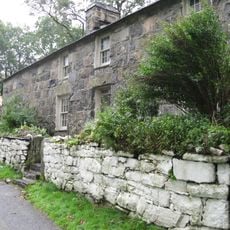
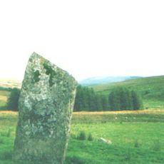
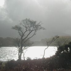
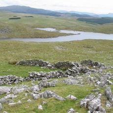
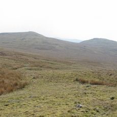
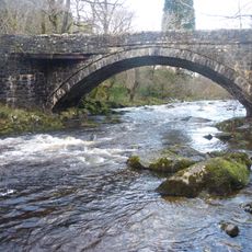
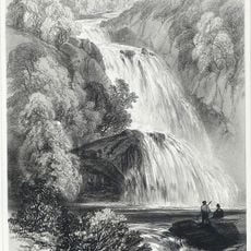
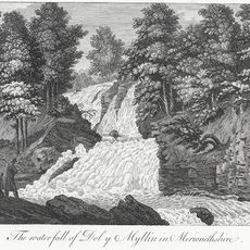
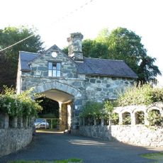
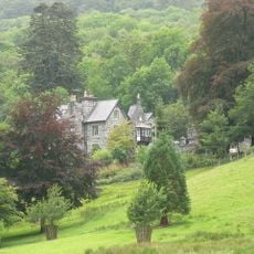
Merionethshire is a historic county in northwestern Wales that stretches from Cardigan Bay inland through river valleys toward the Snowdonia mountains. The region contains varied landscapes with coastal areas, river corridors, and high moorlands.

History

The region became an official county in 1284 following years of conflict between Welsh princes and Norman settlers over territorial control. This formal establishment reshaped the political organization of northern Wales.

Culture

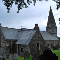
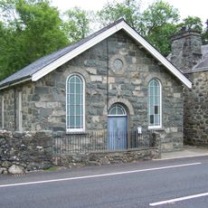
The region's remote location helped keep Welsh language and local customs alive through the centuries. You can still sense these traditions in small villages and at local gatherings today.

Practical

The area is now part of larger administrative regions, so you can reach most locations via main routes through Snowdonia. For detailed historical information about the former county, visit local archives and museums scattered throughout the region.

Did you know?

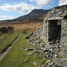
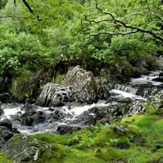
The Mawddach valley held gold deposits that were mined at various times, while the Ffestiniog region became a major slate extraction center during the 1800s. These natural resources shaped both the economy and the landscape of the historic county.

Location
Inception
1284
Part of
Wales
Shares border with
Caernarfonshire, Denbighshire, Montgomeryshire, Cardiganshire
GPS coordinates
52.83330,-3.83333
Latest update
December 7, 2025 10:06

AroundUs brings together thousands of curated places, local tips, and hidden gems, enriched daily by 60,000 contributors worldwide. Discover all places nearby (Wales).

« Merionethshire - Historic county in northwestern Wales, United Kingdom » is provided by Around Us (aroundus.com). Images and texts are derived from Wikimedia project under a Creative Commons license. You are allowed to copy, distribute, and modify copies of this page, under the conditions set by the license, as long as this note is clearly visible.

Discover hidden gems everywhere you go!

From secret cafés to breathtaking viewpoints, skip the crowded tourist spots and find places that match your style. Our app makes it easy with voice search, smart filtering, route optimization, and insider tips from travelers worldwide. Download now for the complete mobile experience.

Around Us App Screenshot

A unique approach to discovering new places

Le Figaro

All the places worth exploring

France Info

A tailor-made excursion in just a few clicks

20 Minutes

Around Us
Travel Guide & Maps
Download

Send to your phone

QR Code
1

Open the camera app on your mobile.

2

Point at the QR code with your camera. A notification will appear.

3

Tap the notification to open the link.