Enable Location

We need your location to show you interesting places around you

Discover nearby places

Find interesting locations and hidden gems around you

Precise directions

Get accurate directions and distances to places

Your location is never shared with other users. It's only used when you tap the location button.

Rhobell Fawr

Log in to your account

Start exploring — it's free

Trusted by 62,194 travelers worldwide

Continue with Google
Continue with Apple
or

We will send you a code to connect

By continuing, you accept our Terms and Conditions and our Privacy Policy

Check your inbox

We've sent a pincode in your inbox. Please enter the code below.

Rhobell Fawr

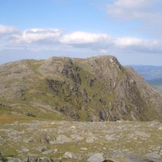
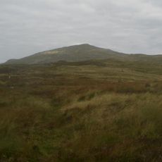
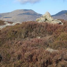
Rhobell Fawr, Mountain summit in Gwynedd, United Kingdom

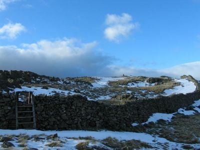
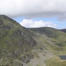
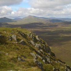
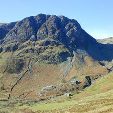
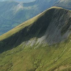
Rhobell Fawr is a mountain summit in the Arenig range within Snowdonia National Park, rising to about 734 meters above sea level. The terrain shows steep slopes and exposed rock faces that reveal the peak's volcanic origins.

The mountain formed as an extinct volcano that was active during the Early Ordovician period hundreds of millions of years ago. This volcanic activity shaped the geological structure of the entire North Wales region.

The Welsh name carries meaning rooted in local language traditions and reflects how mountain names shape regional identity. Visitors often hear locals pronounce it in ways that reveal the living connection between language and landscape in this part of Wales.

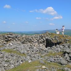
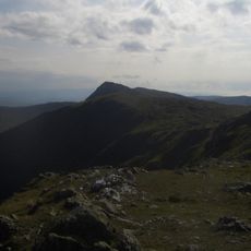
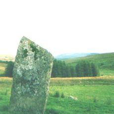
The mountain is accessible via established paths starting from Bwlch Goriwared, located north of the village of Llanfachreth. Visitors should wear sturdy footwear and bring weatherproof clothing, as the exposed slopes create changeable conditions.

The volcanic rock formations preserve millions of years of geological layering that reveals how early volcanic activity unfolded in North Wales. Visitors with geological interest can spot different eruption layers clearly visible in the exposed rock faces.

The community of curious travelers

AroundUs brings together thousands of curated places, local tips, and hidden gems, enriched daily by 60,000 contributors worldwide.

Start exploring
Location
Elevation above the sea
734 m
GPS coordinates
52.81484,-3.80159
Latest update
December 12, 2025 16:40
« Rhobell Fawr - Mountain summit in Gwynedd, United Kingdom » is provided by Around Us (aroundus.com). Images and texts are derived from Wikimedia project under a Creative Commons license. You are allowed to copy, distribute, and modify copies of this page, under the conditions set by the license, as long as this note is clearly visible.

Discover hidden gems everywhere you go!

From secret cafés to breathtaking viewpoints, skip the crowded tourist spots and find places that match your style. Our app makes it easy with voice search, smart filtering, route optimization, and insider tips from travelers worldwide. Download now for the complete mobile experience.

Around Us App Screenshot

A unique approach to discovering new places

Le Figaro

All the places worth exploring

France Info

A tailor-made excursion in just a few clicks

20 Minutes

Around Us
Travel Guide & Maps
Download

Send to your phone

QR Code
1

Open the camera app on your mobile.

2

Point at the QR code with your camera. A notification will appear.

3

Tap the notification to open the link.