Enable Location

We need your location to show you interesting places around you

Discover nearby places

Find interesting locations and hidden gems around you

Precise directions

Get accurate directions and distances to places

Your location is never shared with other users. It's only used when you tap the location button.

Glyndŵr's Way

Log in to your account

Start exploring — it's free

Trusted by 63,573 travelers worldwide

Continue with Google
Continue with Apple
or

We will send you a code to connect

By continuing, you accept our Terms and Conditions and our Privacy Policy

Check your inbox

We've sent a pincode in your inbox. Please enter the code below.

Glyndŵr's Way
Discussion Reviews 1 Photos
5.5k Popularity

Glyndŵr's Way, National Trail in Powys, Wales.

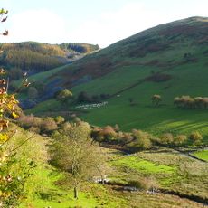
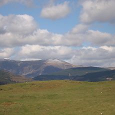
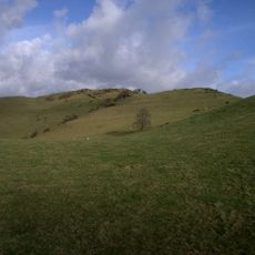
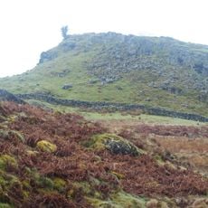
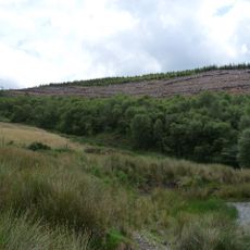
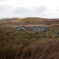
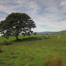
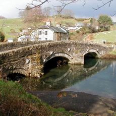
Glyndŵr's Way is a long-distance hiking trail in Powys that runs from Knighton to Welshpool, passing through moorlands, farmland, and forests. The route reaches its highest elevation at Foel Fadian, standing at approximately 510 meters (1,673 feet).

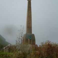
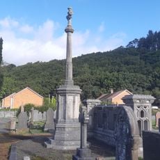
The trail takes its name from Prince Owain Glyndŵr, who led a major Welsh rebellion against English rule in the early 1400s. This uprising became a defining moment in Welsh resistance and independence efforts.

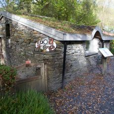
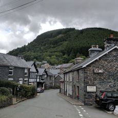
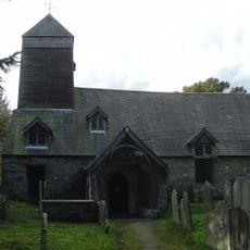
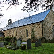
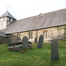
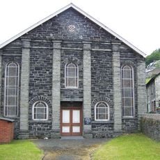
The trail passes through Machynlleth, a town central to Welsh independence movements and home to a historic parliament building. Walking through here connects visitors to the region's deep sense of national identity and local pride.

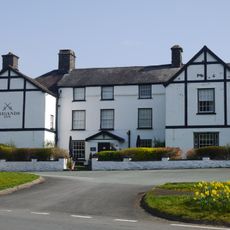
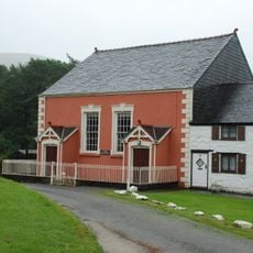
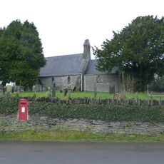
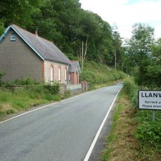
Most visitors complete this route over 9 to 14 days, with accommodation available in towns and villages along the way such as Llanidloes, Felindre, and Machynlleth. Planning your stops in advance helps you pace yourself and enjoy the journey comfortably.

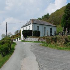
Around 60 percent of this route opens to cyclists and horse riders, setting it apart from most British National Trails. This multi-use design makes it flexible for different types of outdoor adventurers.

The community of curious travelers

AroundUs brings together thousands of curated places, local tips, and hidden gems, enriched daily by 60,000 contributors worldwide.

Start exploring
Location
GPS coordinates
52.62590,-3.73030
Latest update
December 9, 2025 18:49
Reviews
Share your experience

No review yet

Discussions
Start a discussion...

No discussion yet

« Glyndŵr's Way - National Trail in Powys, Wales » is provided by Around Us (aroundus.com). Images and texts are derived from Wikimedia project under a Creative Commons license. You are allowed to copy, distribute, and modify copies of this page, under the conditions set by the license, as long as this note is clearly visible.

Discover hidden gems everywhere you go!

From secret cafés to breathtaking viewpoints, skip the crowded tourist spots and find places that match your style. Our app makes it easy with voice search, smart filtering, route optimization, and insider tips from travelers worldwide. Download now for the complete mobile experience.

Around Us App Screenshot

A unique approach to discovering new places

Le Figaro

All the places worth exploring

France Info

A tailor-made excursion in just a few clicks

20 Minutes

Around Us
Travel Guide & Maps
Download

Send to your phone

QR Code
1

Open the camera app on your mobile.

2

Point at the QR code with your camera. A notification will appear.

3

Tap the notification to open the link.