Tottenham, Residential district in North London, England
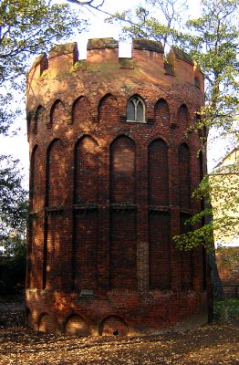
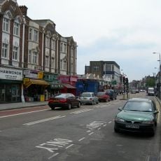
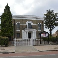
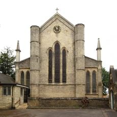
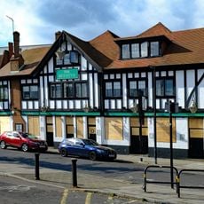
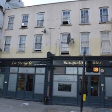
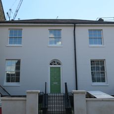
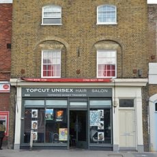
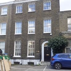
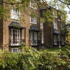
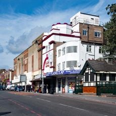
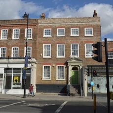
Tottenham is a district in North London that follows the old Roman road Ermine Street, connecting residential neighborhoods with commercial streets. The built environment shifts between Victorian red-brick terraces, newer apartment blocks, and retail buildings, while broad main roads run through the different neighborhoods.
The area remained agricultural until the late 19th century, when new railway lines to central London sparked its transformation into a residential suburb. The arrival of trains brought new streets and shops that drew workers and clerks away from the city center.
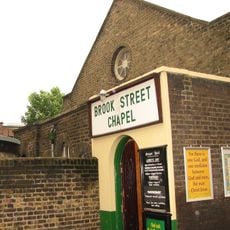
The name comes from an Old English term meaning the homestead of a man called Totta, and residents still refer to themselves by this ancient label. You walk through streets lined with Caribbean bakeries, African fabric shops, and Eastern European grocers, all housed in a mix of red-brick terraces and newer apartment buildings.
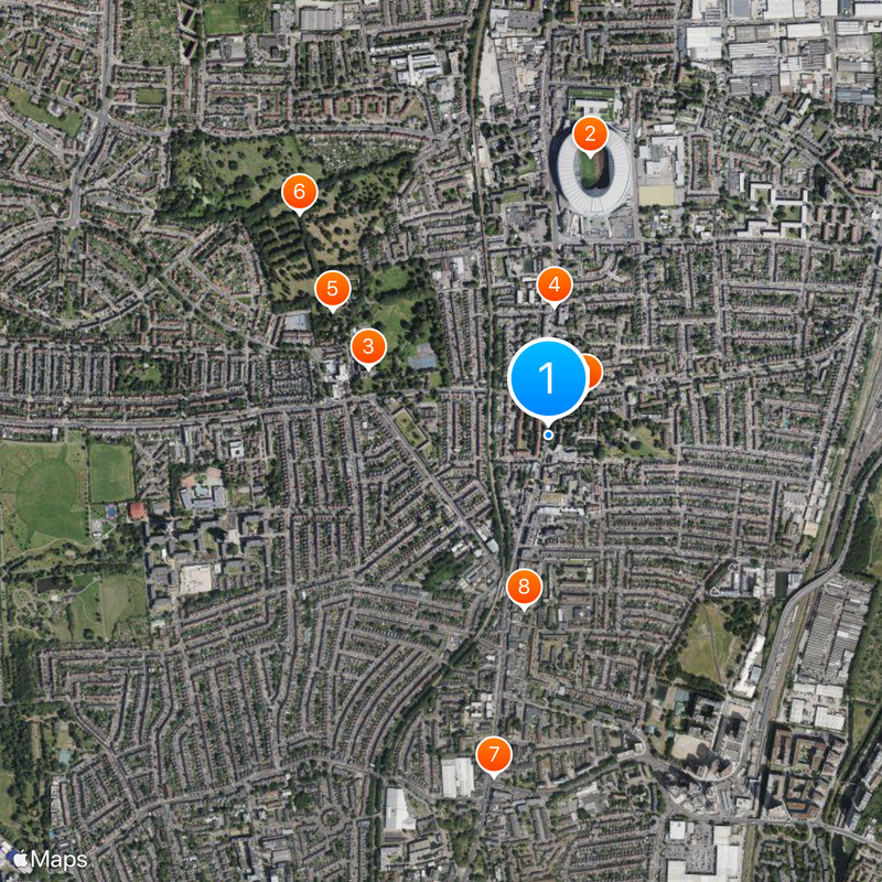
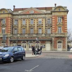
Several railway stations link the district to the center through the Victoria Line, London Overground, and other train services. Bus routes run along the main roads, connecting different neighborhoods within the area and to surrounding districts.
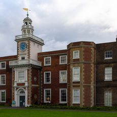
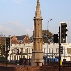
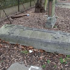
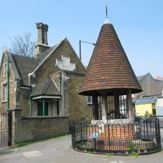
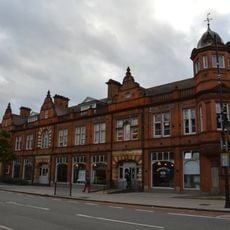
Bruce Grove, one of the oldest streets, takes its name from a Scottish noble family who owned land here in the 17th century. Today the street holds a listed clock tower from 1887 that serves as a local landmark.
The community of curious travelers
AroundUs brings together thousands of curated places, local tips, and hidden gems, enriched daily by 60,000 contributors worldwide.