Chest opened
+${chestReward.xp} XP
Explorer
NOUVEAU ×${chestReward.collectible.quantity}
tapez pour fermer
Chest locked

Open chests in the app

Around Us is built for your phone — chests unlock when you walk, explore and capture nearby places.

Enable Location

We need your location to show you interesting places around you

Discover nearby places

Find interesting locations and hidden gems around you

Precise directions

Get accurate directions and distances to places

Your location is never shared with other users. It's only used when you tap the location button.

Solway Firth

Log in to your account

Start exploring — it's free

Trusted by 72,902 travelers worldwide

Continue with Google
Continue with Apple
or

We will send you a code to connect

By continuing, you accept our Terms and Conditions and our Privacy Policy

Check your inbox

We've sent a pincode in your inbox. Please enter the code below.

Solway Firth
Discussion Reviews 3 Photos
53.3k Popularity

Solway Firth, Protected estuary between Cumbria and Dumfries & Galloway, England and Scotland

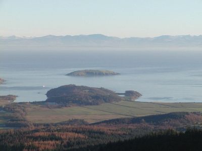
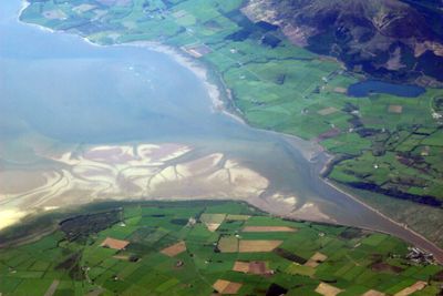
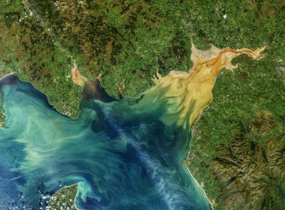
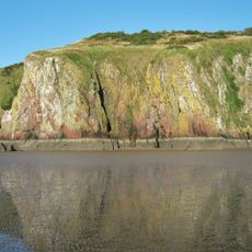
Solway Firth is a bay and fjord lying between Cumbria and Dumfries & Galloway. The waterway is defined by salt marshes, sand dunes, and farmland that create a patchwork landscape where the estuary meets the sea.

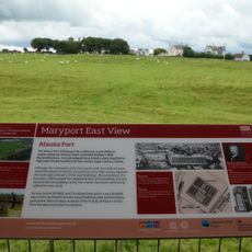
The firth has served as a boundary between different peoples since Roman times, when it marked the edge of the empire's reach. A railway viaduct built in the 1800s briefly connected Scotland and England by rail across the water before being dismantled.

The firth marks where Scotland and England meet, and this border location has shaped how local communities view the water. People on both sides share deep connections to this estuary through fishing traditions and stories passed down through generations.

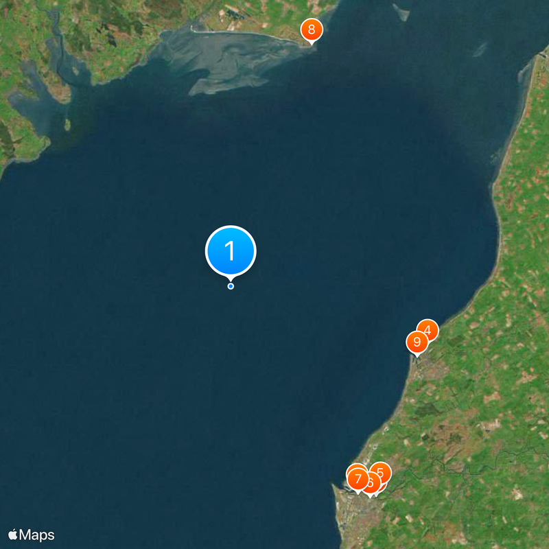
Several nature reserves offer access to viewing areas where you can watch migrating birds and explore wetland habitats. Wear waterproof boots and check tide times before visiting, as conditions change rapidly and some areas become hard to navigate when water levels rise.

The water experiences some of the strongest tidal currents in the region, making it treacherous for boats but creating dramatic shifts in the landscape twice daily. This raw power has shaped the shoreline for centuries and draws those interested in natural forces at work.

The community of curious travelers

AroundUs brings together thousands of curated places, local tips, and hidden gems, enriched daily by 60,000 contributors worldwide.

Start exploring
Location
Location
Part of
Irish Sea
GPS coordinates
54.75000,-3.66667
Latest update
December 14, 2025 17:50
Reviews
Share your experience

No review yet

Discussions
Start a discussion...

No discussion yet

« Solway Firth - Protected estuary between Cumbria and Dumfries & Galloway, England and Scotland » is provided by Around Us (aroundus.com). Images and texts are derived from Wikimedia project under a Creative Commons license. You are allowed to copy, distribute, and modify copies of this page, under the conditions set by the license, as long as this note is clearly visible.

Discover hidden gems everywhere you go!

From secret cafés to breathtaking viewpoints, skip the crowded tourist spots and find places that match your style. Our app makes it easy with voice search, smart filtering, route optimization, and insider tips from travelers worldwide. Download now for the complete mobile experience.

Around Us App Screenshot

A unique approach to discovering new places

Le Figaro

All the places worth exploring

France Info

A tailor-made excursion in just a few clicks

20 Minutes

Around Us
Travel Guide & Maps
Download

Send to your phone

QR Code
1

Open the camera app on your mobile.

2

Point at the QR code with your camera. A notification will appear.

3

Tap the notification to open the link.