Buckingham, Administrative division in Buckinghamshire, England
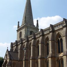
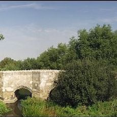
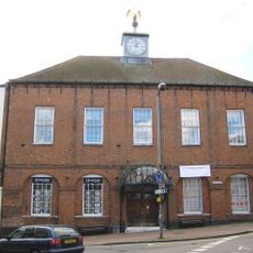
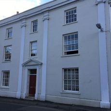
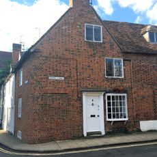
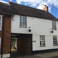
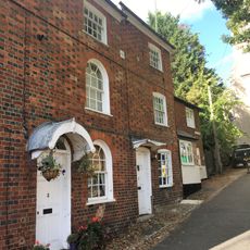
Buckingham is a market town in Buckinghamshire, close to the borders with Northamptonshire and Oxfordshire. It sits along the Great Ouse river and the streets around the central market square show Georgian-style buildings that appeared after a major fire in the 18th century.
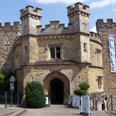
In the early 10th century King Edward the Elder ordered a fortification built, which gave the settlement importance during conflicts with Danish warriors. Over the centuries the place served as the county's administrative center before this role later moved to Aylesbury.
The name comes from Old English, referring to a settlement of the Buccingas, a group of people who once lived along the Great Ouse river. Today traces of this long history show in the streets around the market square, where residents do their shopping and gather on market days.
The streets around the market square are easy to explore on foot, and most shops and cafes sit within a short distance of each other. On market days Tuesday and Saturday there is more activity, so visiting early morning or late afternoon can make walking around calmer.
The local university was the first private higher education institution in Britain to open after World War Two. It sits in buildings along the town center streets rather than on a closed campus, so students and locals share the same pathways.
The community of curious travelers
AroundUs brings together thousands of curated places, local tips, and hidden gems, enriched daily by 60,000 contributors worldwide.