North Shields, Port town in North Tyneside, England.
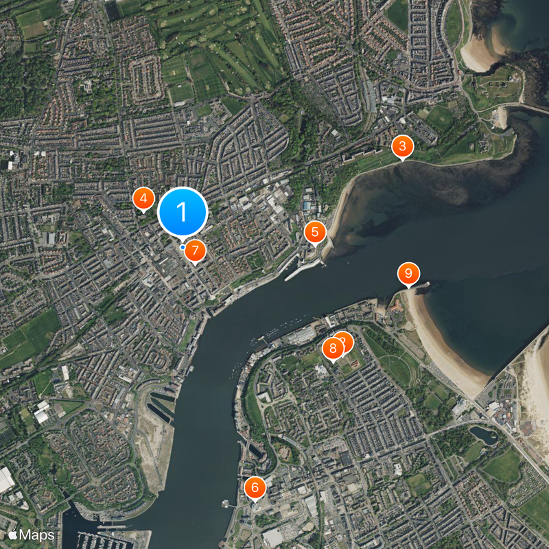
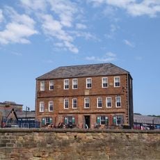
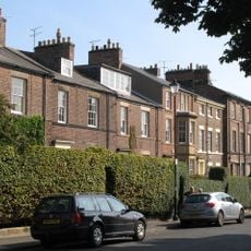
North Shields is a riverside town on the northern shore of the River Tyne in northeast England, spreading over several kilometers along the water. The built-up area mixes hillside residential streets with waterfront facilities and landing stages where fishing vessels still moor.
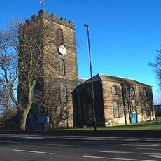
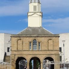
In 1225 the Prior of Tynemouth founded a fishing settlement here to exploit the shelter offered by the estuary. Shipbuilding and seafaring trade brought growth over the following centuries, shaping the layout of the waterfront.
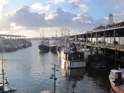
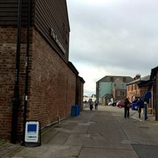
The name derives from the fishermen's huts that once lined the waterfront, offering shelter to workers returning from the sea. Today the quayside remains a working harbor where fishing boats unload their catch each morning and locals gather at harborside pubs.
The Metro runs several times an hour to Newcastle and surrounding districts, while the ferry crosses regularly to the south shore throughout the day. From the station you can reach the quayside and waterfront eateries on foot within a few minutes.
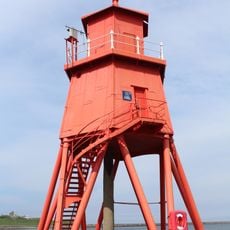
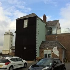
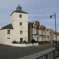
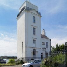
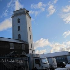
Two navigation beacons built in the early 18th century helped ships find the hazardous river mouth by aligning both lights one above the other. The lighthouses still stand on the hills above the water, reminding visitors of a time when sailors navigated these waters without electronics.
Location: North Tyneside
GPS coordinates: 55.00970,-1.44480
Latest update: December 5, 2025 16:31
Arbeia South Shields Roman Fort
1.1 km
Tyne Turrets
1.3 km
Christ Church, North Shields
287 m
Clifford's Fort
723 m
The Word
1.4 km
Tynemouth Town Hall
113 m
Arbeia, South Shields Roman Fort
1 km
Herd Groyne Light
1.3 km
Fish Quay Old Low Light
732 m
Fish Quay New Lighthouses
453 m
Old Lowlight Heritage Centre
701 m
Fish Quay Old High Light
510 m
Fish Quay High Light
453 m
Fish Quay Low Light
660 m
New Princes Theatre
275 m
Church of Holy Saviour
1.4 km
Statue of Duke of Northumberland, South of Master Mariners' Homes
1 km
Church of St Augustin
690 m
South Shields Old Town Hall
1.4 km
Piers And Walls To West And South Of Christ Church
305 m
Master Mariners' Homes
1 km
Ballard's Smoke House Clifford's Fort And Boundary Stones Attached
753 m
Main Passenger Building Of Tynemouth Old Railway Station
1.3 km
Clifford's Fort Trinity House Almshouses And Boundary Stone Attached
702 m
1, Howard Street
303 m
1-3, Tynemouth Terrace
1.4 km
Clifford's Fort South And East Wall Facing River
758 m
Milestone, North Shields, Albion Road, by Christ Church churchyard entrance
256 mReviews
Visited this place? Tap the stars to rate it and share your experience / photos with the community! Try now! You can cancel it anytime.
Discover hidden gems everywhere you go!
From secret cafés to breathtaking viewpoints, skip the crowded tourist spots and find places that match your style. Our app makes it easy with voice search, smart filtering, route optimization, and insider tips from travelers worldwide. Download now for the complete mobile experience.
A unique approach to discovering new places❞
— Le Figaro
All the places worth exploring❞
— France Info
A tailor-made excursion in just a few clicks❞
— 20 Minutes