Eastern Shore of Maryland, Geographic region on Chesapeake Bay, United States
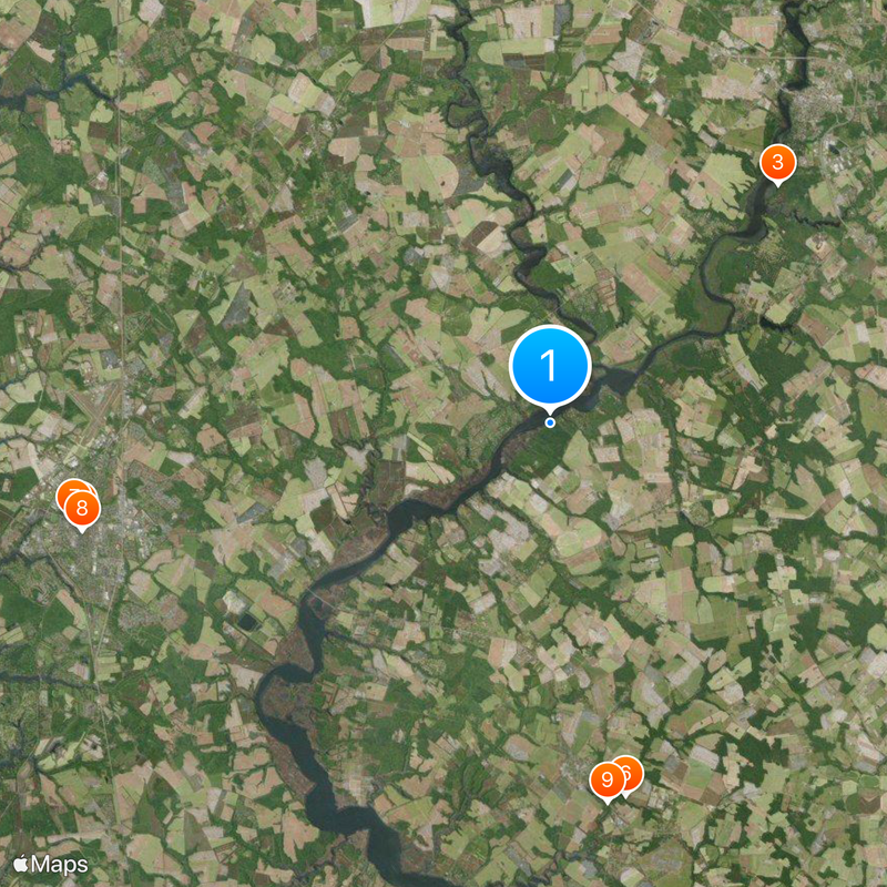
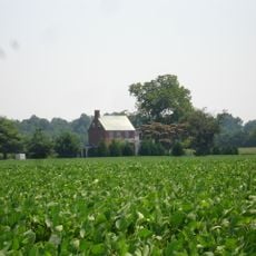
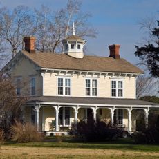
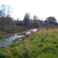
The Eastern Shore of Maryland is a region in the eastern part of the state, lying between Chesapeake Bay and the Atlantic Ocean and made up largely of flat coastal plains, wetlands, and small towns. The landscape is defined by tidal creeks, marsh grasses, and long stretches of beach, while farmland and woods alternate behind the waterfront zones.
The region was shaped from the 17th century by tobacco and grain plantations that relied on fertile soils and waterways for export. Over time the economy shifted toward fishing and boatbuilding as farming operations grew smaller.
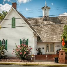
The grain silos and crab shacks along the waterfront tell of life shaped by tides and harvest, while oyster boats still tie up at many old wharves. In harbor towns, church suppers and community gatherings follow the rhythm of fishing seasons and bay weather.
Most towns are easy to reach by car since the roads run flat and direct, with many small harbors and wildlife refuges clearly marked. Visitors who come in autumn find quieter places and can watch migratory birds passing through the wetlands at that time.
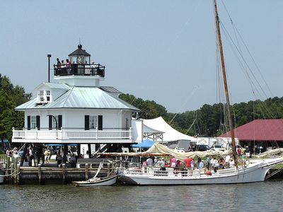
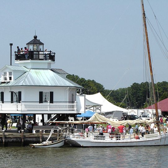
Many of the old lighthouses along the coast still operate today, marking shoals and channels that shift with the tides. Some of these towers stand on artificial islands or pilings in open water and can only be reached by boat.
The community of curious travelers
AroundUs brings together thousands of curated places, local tips, and hidden gems, enriched daily by 92,535 contributors worldwide.