Chest opened
+${chestReward.xp} XP
Explorer
NOUVEAU ×${chestReward.collectible.quantity}
tapez pour fermer
Chest locked

Open chests in the app

Around Us is built for your phone — chests unlock when you walk, explore and capture nearby places.

Enable Location

We need your location to show you interesting places around you

Discover nearby places

Find interesting locations and hidden gems around you

Precise directions

Get accurate directions and distances to places

Your location is never shared with other users. It's only used when you tap the location button.

Smoky Hill River

Log in to your account

Start exploring — it's free

Trusted by 72,986 travelers worldwide

Continue with Google
Continue with Apple
or

We will send you a code to connect

By continuing, you accept our Terms and Conditions and our Privacy Policy

Check your inbox

We've sent a pincode in your inbox. Please enter the code below.

Smoky Hill River
Discussion Reviews 1 Photos
13k Popularity

Smoky Hill River, River system in eastern Colorado, United States.

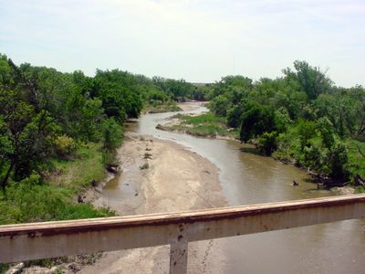
The Smoky Hill River is a waterway system with two main branches starting in the High Plains region and flowing across eastern areas. The river has a substantial drainage basin and picks up several tributaries along its course.

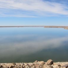
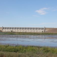
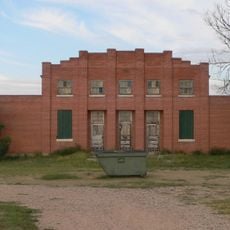
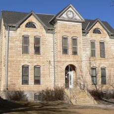
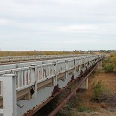
The river was charted by French mapmakers in the 18th century and later became important for European settlers moving goods and people across the region. Dams built in the 20th century altered the river's natural flow and its role in the landscape.

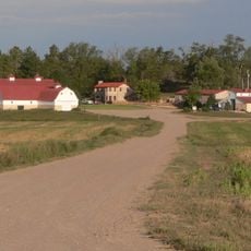
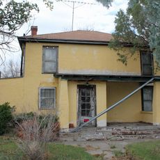
Native American peoples relied on this river as a water source and travel route across the plains, shaping how communities developed along its course. The waterway remains central to how local residents today connect with the land.

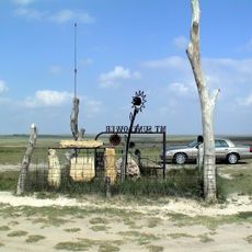
The river is accessible at various points where visitors can hike, camp, and explore the landscape. Water levels vary with the seasons, so checking local conditions before visiting helps you plan accordingly.

Reservoirs created by dam projects have transformed how this river appears and functions in the landscape today. These artificial lakes have become unexpected gathering places where people boat, fish, and watch migrating birds.

The community of curious travelers

AroundUs brings together thousands of curated places, local tips, and hidden gems, enriched daily by 60,000 contributors worldwide.

Start exploring
Location
GPS coordinates
38.95030,-102.58030
Latest update
December 7, 2025 20:42
Around this place
Mount Sunflower
United States of America

Mount Sunflower

47.7 km
Fort Lyon
United States of America

Fort Lyon

108.7 km
John Martin Reservoir
United States of America

John Martin Reservoir

103.7 km
John Martin Reservoir State Park
United States of America

John Martin Reservoir State Park

102.1 km
Elitch Gardens Carousel
United States of America

Elitch Gardens Carousel

48.2 km
Bent County High School
United States of America

Bent County High School

113.7 km
Mary Seaman Ennis House
United States of America

Mary Seaman Ennis House

86.9 km
Farmers State Bank of Cope
United States of America

Farmers State Bank of Cope

82.8 km
Pond Creek Station
United States of America

Pond Creek Station

86.5 km
Crow–Hightower House
United States of America

Crow–Hightower House

54.9 km
Eads Community Church
United States of America

Eads Community Church

54.9 km
Goodland City Library
United States of America

Goodland City Library

86.9 km
Prowers Bridge
United States of America

Prowers Bridge

96.8 km
Prowers County Courthouse
United States of America

Prowers County Courthouse

96.2 km
Rock Island Snow Plow No. 95580
United States of America

Rock Island Snow Plow No. 95580

101.6 km
Ruleton School
United States of America

Ruleton School

74 km
Greeley County Courthouse
United States of America

Greeley County Courthouse

89.7 km
Clark–Robidoux House
United States of America

Clark–Robidoux House

85.5 km
Kuhrt Ranch
United States of America

Kuhrt Ranch

107.7 km
Hotel Holly–Haswell Hotel
United States of America

Hotel Holly–Haswell Hotel

75 km
Holly SS Ranch Barn
United States of America

Holly SS Ranch Barn

108 km
Cheyenne County Courthouse
United States of America

Cheyenne County Courthouse

24.7 km
Granada Bridge
United States of America

Granada Bridge

98.2 km
Davies Hotel
United States of America

Davies Hotel

95.7 km
Old Town Museum
United States of America

Old Town Museum

47.1 km
World's Largest Easel
United States of America

World's Largest Easel

87 km
Lamar Theatre
United States of America

Lamar Theatre

96.1 km
Giant van Gogh Painting
United States of America

Giant van Gogh Painting

87 km
Show the full map
Reviews
Share your experience

No review yet

Discussions
Start a discussion...

No discussion yet

« Smoky Hill River - River system in eastern Colorado, United States » is provided by Around Us (aroundus.com). Images and texts are derived from Wikimedia project under a Creative Commons license. You are allowed to copy, distribute, and modify copies of this page, under the conditions set by the license, as long as this note is clearly visible.

Discover hidden gems everywhere you go!

From secret cafés to breathtaking viewpoints, skip the crowded tourist spots and find places that match your style. Our app makes it easy with voice search, smart filtering, route optimization, and insider tips from travelers worldwide. Download now for the complete mobile experience.

Around Us App Screenshot

A unique approach to discovering new places

Le Figaro

All the places worth exploring

France Info

A tailor-made excursion in just a few clicks

20 Minutes

Around Us
Travel Guide & Maps
Download

Send to your phone

QR Code
1

Open the camera app on your mobile.

2

Point at the QR code with your camera. A notification will appear.

3

Tap the notification to open the link.