
Montrose County, Administrative county in western Colorado, United States.
Montrose County encompasses 2,243 square miles of land, including sections of Black Canyon National Park and Uncompahgre National Forest in western Colorado.
The county established its administrative structure in 1883, with the city of Montrose designated as its governmental center and primary population hub.
The Ute Indian Museum within the county preserves and displays Native American artifacts, traditional items, and historical records of regional indigenous communities.
Montrose Regional Airport serves as the primary transportation hub, connecting residents and visitors to major cities through regular commercial flights.
The county contains segments of the Rimrocker Trail system, which extends across western territories and connects Colorado to the Utah border.
Location: Colorado
Inception: 1883
Capital city: Montrose
Shares border with: Mesa County, San Miguel County, Ouray County, San Juan County, Grand County, Delta County, Gunnison County
Website: http://montrosecounty.net
GPS coordinates: 38.41000,-108.27000
Latest update: May 27, 2025 14:03
Ridgway State Park
51.5 km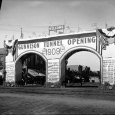
Gunnison Tunnel
48.7 km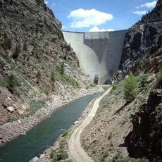
Morrow Point Dam
64 km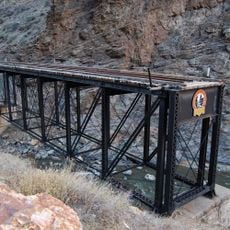
D & RG Narrow Gauge Trestle
63 km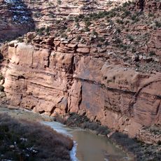
Hanging Flume
46.1 km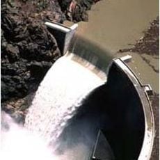
Crystal Dam
57.3 km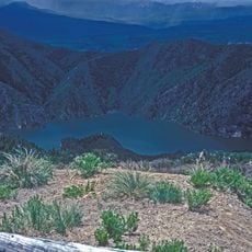
Morrow Point Reservoir
64.1 km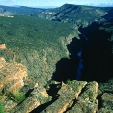
Gunnison Gorge Wilderness
48.5 km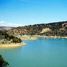
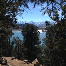
Ridgway Reservoir
49.1 km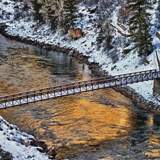
Crystal Reservoir
60.6 km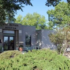
Ute Indian Museum
35.2 km
Dolores River Bridge
54.6 km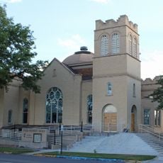
Methodist Episcopal Church of Montrose
35.5 km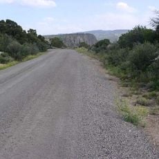
North Rim Road, Black Canyon of the Gunnison National Park
53.6 km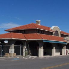
Montrose County Historical Museum
34.8 km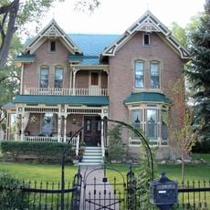
Thomas B. Townsend House
35.3 km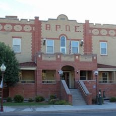
Benevolent and Protective Order of Elks Lodge
35.3 km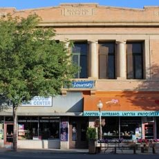
Montrose Masonic Temple, Lodge No. 63
35.3 km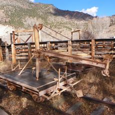
Rio Grande Southern Railroad Derrick Car
62.5 km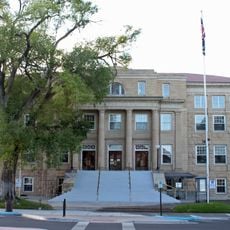
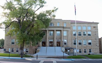
Montrose County Courthouse
35.2 km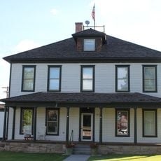
U.S. Bureau of Reclamation Project Office Building
35.1 km
North Rim Road
54.3 km
Painted Wall
50.9 km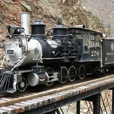
Denver & Rio Grande Western Railroad 278
63 km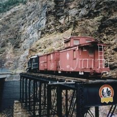
Denver & Rio Grande Western Railroad Caboose No. 0577
63 km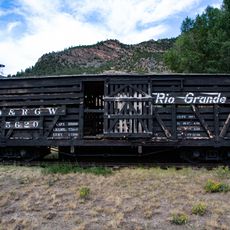
Denver & Rio Grande Western Railroad Stock Car No. 5620
62.4 km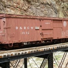
Denver & Rio Grande Western Railroad Boxcar No. 3132
63 km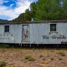
Denver & Rio Grande Railroad Box Outfit Car No. 04414
62.4 kmReviews
Visited this place? Tap the stars to rate it and share your experience / photos with the community! Try now! You can cancel it anytime.
Discover hidden gems everywhere you go!
From secret cafés to breathtaking viewpoints, skip the crowded tourist spots and find places that match your style. Our app makes it easy with voice search, smart filtering, route optimization, and insider tips from travelers worldwide. Download now for the complete mobile experience.

A unique approach to discovering new places❞
— Le Figaro
All the places worth exploring❞
— France Info
A tailor-made excursion in just a few clicks❞
— 20 Minutes