Linn County

Log in to your account

AroundUs is a community-driven map of interesting places, built by curious explorers like you. It grows with every review, story, and photo you share.
Connect to save your favorite spots, contribute locations, and create personalized routes.
Continue with Google
Continue with Apple
Continue with X
Continue with Facebook
Continue with email
By continuing, you accept our Terms and Conditions and our Privacy Policy
Create an account
Add to collection
Map
Suggest a change
Share

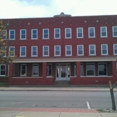
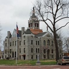
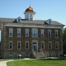
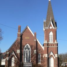
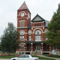
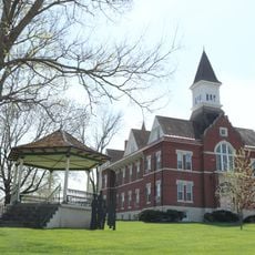
Linn County, Administrative county in eastern Kansas, United States.

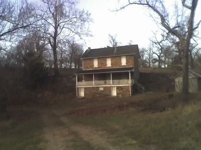
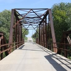
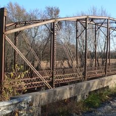
Linn County is an administrative county located in eastern Kansas that covers approximately 606 square miles. The area extends along the state's eastern border and includes both land and water areas throughout the region.

The county was officially established on February 26, 1867, and named after Lewis Linn, a former United States Senator from Missouri. This founding was part of Kansas territorial expansion during the post-Civil War era.

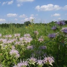
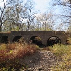
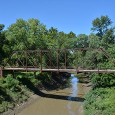
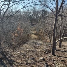
The Marais des Cygnes National Wildlife Refuge within Linn County provides natural spaces for outdoor activities and environmental education programs.

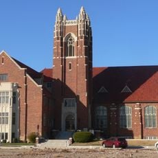
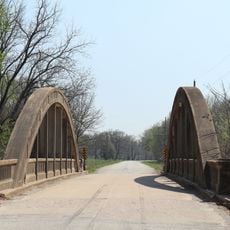
The area is served by several school districts that support different communities and provide educational services to local families. Visitors should keep in mind that this is a rural area best explored by car.

The Marais des Cygnes National Wildlife Refuge lies within the county and provides habitats for wildlife and opportunities for nature observation. This protected area draws birdwatchers and nature enthusiasts interested in exploring the local wildlife.

Location: Kansas

Inception: February 26, 1867

Capital city: Mound City

Shares border with: Miami County, Bourbon County, Anderson County, Bates County, Vernon County, Franklin County, Allen County

Website: http://LinnCountyKS.com

GPS coordinates: 38.21670,-94.85000

Latest update: December 7, 2025 20:25

Photos
Around this place
Hillsdale Lake
United States of America

Hillsdale Lake

49 km
Dietrich Cabin
United States of America

Dietrich Cabin

57 km
Fort Scott National Cemetery
United States of America

Fort Scott National Cemetery

43.4 km
United States of America

Powell Observatory

49.6 km
The Plaza Grill and Cinema
United States of America

The Plaza Grill and Cinema

44.7 km
Marais des Cygnes National Wildlife Refuge
United States of America

Marais des Cygnes National Wildlife Refuge

17.5 km
Sennett and Bertha Kirk House
United States of America

Sennett and Bertha Kirk House

35.1 km
Peoples Bank Field
United States of America

Peoples Bank Field

56.1 km
Anderson County Courthouse
United States of America

Anderson County Courthouse

34 km
Landers Creek Bridge
United States of America

Landers Creek Bridge

14.3 km
Jackson Hotel
United States of America

Jackson Hotel

39.7 km
Bates County Courthouse
United States of America

Bates County Courthouse

43.5 km
Tauy Jones Hall
United States of America

Tauy Jones Hall

56.2 km
Papinville Marais des Cygnes River Bridge
United States of America

Papinville Marais des Cygnes River Bridge

56.6 km
First Presbyterian Church
United States of America

First Presbyterian Church

43.6 km
Franklin County Courthouse
United States of America

Franklin County Courthouse

57.2 km
Ottawa Library
United States of America

Ottawa Library

56.1 km
First Congregational Church
United States of America

First Congregational Church

44.2 km
Miami County Courthouse
United States of America

Miami County Courthouse

39.5 km
Linn County Courthouse
United States of America

Linn County Courthouse

9 km
Mine Creek Bridge
United States of America

Mine Creek Bridge

15.9 km
Carey’s Ford Bridge
United States of America

Carey’s Ford Bridge

37.5 km
Long Shoals Bridge
United States of America

Long Shoals Bridge

31.8 km
John Brown Museum State Historic Site
United States of America

John Brown Museum State Historic Site

32.8 km
Marais des Cygnes Massacre Site
United States of America

Marais des Cygnes Massacre Site

21.3 km
Creamery Bridge
United States of America

Creamery Bridge

33.2 km
Pottawatomie Creek Bridge
United States of America

Pottawatomie Creek Bridge

31.2 km
Asylum Bridge
United States of America

Asylum Bridge

33.1 km
Show the full map
Reviews

Visited this place? Tap the stars to rate it and share your experience / photos with the community! Try now! You can cancel it anytime.

Administrative divisions
« Linn County - Administrative county in eastern Kansas, United States » is provided by Around Us (aroundus.com). Images and texts are derived from Wikimedia project under a Creative Commons license. You are allowed to copy, distribute, and modify copies of this page, under the conditions set by the license, as long as this note is clearly visible.

Discover hidden gems everywhere you go!

From secret cafés to breathtaking viewpoints, skip the crowded tourist spots and find places that match your style. Our app makes it easy with voice search, smart filtering, route optimization, and insider tips from travelers worldwide. Download now for the complete mobile experience.

Around Us App Screenshot

A unique approach to discovering new places

Le Figaro

All the places worth exploring

France Info

A tailor-made excursion in just a few clicks

20 Minutes