
Wabaunsee County, Administrative county in eastern Kansas, United States.
The county spans 800 square miles of land with rolling hills, prairies, and waterways, including Lake Wabaunsee near the town of Eskridge.
Established in 1855, the county carries the name of Potawatomi Chief Waubonsie, with its name deriving from the Potawatomi word meaning dawn of day.
The Beecher Bible and Rifle Church stands as a testament to the county's involvement in the free-state movement during pre-Civil War Kansas.
The county seat of Alma provides administrative services, including tax management, building permits, and regular commission meetings for the 6,877 residents.
During World War II, Lake Wabaunsee housed a German prisoner of war camp where detainees contributed to local agricultural and infrastructure projects.
Location: Kansas
Inception: 1855
Capital city: Alma
Shares border with: Pottawatomie County, Lyon County, Shawnee County, Osage County, Riley County, Morris County, Geary County
Website: http://Wabaunsee.KansasGov.com
GPS coordinates: 39.01861,-96.29250
Latest update: March 9, 2025 08:36

Johnny Kaw
30.2 km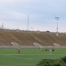
World War I Memorial Stadium
31.4 km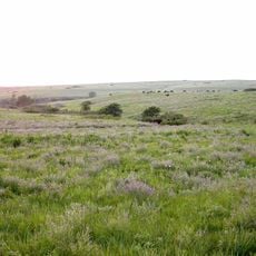
Konza Prairie
24.5 km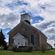
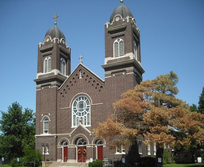
Beecher Bible and Rifle Church
14.7 km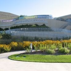
Flint Hills Discovery Center
29.1 km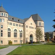
Hale Library
31.4 km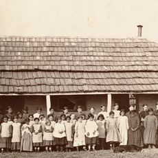
St. Mary's Mission
27.7 km
Oz Museum
20.5 km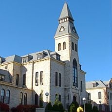
Anderson Hall
31.3 km
Seven Dolors Catholic Church
29.5 km
Seaton Hall
31.5 km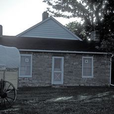
Pottawatomie Indian Pay Station
27.7 km
First Congregational Church
29.9 km
Dickens Hall
31.3 km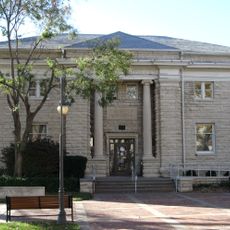
Manhattan Carnegie Library Building
29.5 km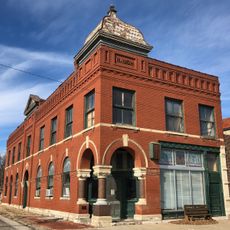
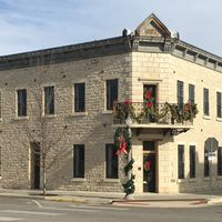
Security State Bank
23.8 km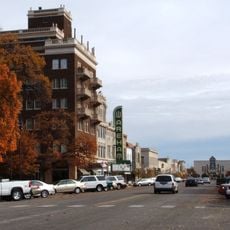
Downtown Manhattan Historic District
29.3 km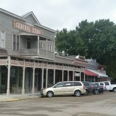
Paxico Historic District
11.9 km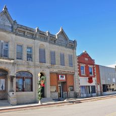
Alma Downtown Historic District
672 m
George and Virginia Trout House
20.7 km
E. A. and Ura Wharton House
29.7 km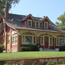
Cassius & Adelia Baker House
20.7 km
Bluemont Hall
31.2 km
Woman's Club House
29.9 km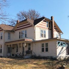
Stuewe House
378 m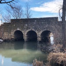
Southeast Stone Arch Bridge
20.5 km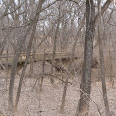
McCauley Bridge
43.5 km
Houston and Pierre Streets Residential Historic District
29.6 kmReviews
Visited this place? Tap the stars to rate it and share your experience / photos with the community! Try now! You can cancel it anytime.
Discover hidden gems everywhere you go!
From secret cafés to breathtaking viewpoints, skip the crowded tourist spots and find places that match your style. Our app makes it easy with voice search, smart filtering, route optimization, and insider tips from travelers worldwide. Download now for the complete mobile experience.

A unique approach to discovering new places❞
— Le Figaro
All the places worth exploring❞
— France Info
A tailor-made excursion in just a few clicks❞
— 20 Minutes