Enable Location

We need your location to show you interesting places around you

Discover nearby places

Find interesting locations and hidden gems around you

Precise directions

Get accurate directions and distances to places

Your location is never shared with other users. It's only used when you tap the location button.

Marshall County

Log in to your account

Start exploring — it's free

Trusted by 63,408 travelers worldwide

Continue with Google
Continue with Apple
or

We will send you a code to connect

By continuing, you accept our Terms and Conditions and our Privacy Policy

Check your inbox

We've sent a pincode in your inbox. Please enter the code below.

Discussion Reviews 1 Photos
9.8k Popularity

Marshall County, County in northeastern Kansas, United States.

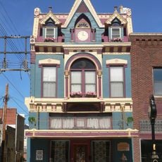
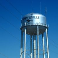
Marshall County is a county in northeastern Kansas covering vast stretches of the Great Plains with the Big Blue River running through agricultural land and small communities. Marysville, the county seat, functions as the hub for government services and local administration.

The county was established in 1855 and named after Francis J. Marshall, who operated the first ferry service across the Big Blue River. This early transportation connection proved essential for the region's development and settlement.

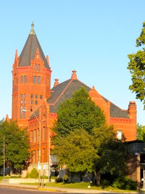
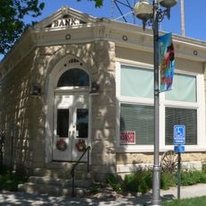
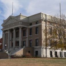
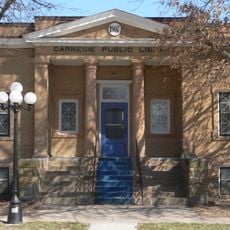
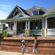
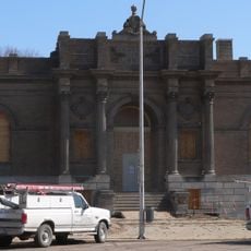
The Marshall County Historical Society maintains records and artifacts in the former courthouse building, preserving local heritage and agricultural traditions.

Visitors can access information and services in Marysville, the administrative center. The region is easily accessible by car with good road connections for exploring the rural landscape.

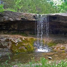
Alcove Springs near Marysville is a significant Oregon Trail landmark with deep historical roots. The site marks the grave of Sarah Keyes, a member of the Donner-Reed Party who died during their westward journey.

The community of curious travelers

AroundUs brings together thousands of curated places, local tips, and hidden gems, enriched daily by 60,000 contributors worldwide.

Start exploring
Location
Inception
August 25, 1855
Capital city
Marysville
Shares border with
Gage County, Pottawatomie County, Pawnee County, Nemaha County, Riley County, Washington County
GPS coordinates
39.80000,-96.55000
Latest update
December 10, 2025 15:56
Around this place
Tuttle Creek Lake
United States of America

Tuttle Creek Lake

52.9 km
St. Bridget Church
United States of America

St. Bridget Church

30.7 km
St. Mary's Church
United States of America

St. Mary's Church

39.8 km
J. Schmuck Block
United States of America

J. Schmuck Block

54.6 km
Rad Jan Kollar cis 101 Z.C.B.J.
United States of America

Rad Jan Kollar cis 101 Z.C.B.J.

50.6 km
Elijah Filley Stone Barn
United States of America

Elijah Filley Stone Barn

51.6 km
First Commercial Bank
United States of America

First Commercial Bank

35.2 km
Pawnee County Courthouse
United States of America

Pawnee County Courthouse

48.2 km
Marshall County Courthouse
United States of America

Marshall County Courthouse

9.2 km
Colman House
United States of America

Colman House

47.6 km
Harold Lloyd Birthplace
United States of America

Harold Lloyd Birthplace

42.5 km
Charles Koester House
United States of America

Charles Koester House

9.4 km
Pawnee City Carnegie Library
United States of America

Pawnee City Carnegie Library

48.4 km
Anna C. Diller Opera House
United States of America

Anna C. Diller Opera House

47.6 km
Washington County Courthouse
United States of America

Washington County Courthouse

42.9 km
Lindsley House
United States of America

Lindsley House

57 km
E. F. Hempstead House
United States of America

E. F. Hempstead House

48.9 km
United States of America

Lake Nemaha Dam Guardrail

44.2 km
Beatrice Chautauqua Pavilion
United States of America

Beatrice Chautauqua Pavilion

52.9 km
Lake Bridenthal House
United States of America

Lake Bridenthal House

37.1 km
United States Post Office
United States of America

United States Post Office

48.3 km
Koester Block Historic District
United States of America

Koester Block Historic District

9.4 km
Alcove Springs Park
United States of America

Alcove Springs Park

12.2 km
Hollenberg Pony Express Station
United States of America

Hollenberg Pony Express Station

27.5 km
John McKimmons Barn
United States of America

John McKimmons Barn

47.8 km
Beatrice City Library
United States of America

Beatrice City Library

54.7 km
Clear Creek Bridge
United States of America

Clear Creek Bridge

34.2 km
Robidoux Creek Bridge
United States of America

Robidoux Creek Bridge

12.5 km
Show the full map
Reviews
Share your experience

No review yet

Discussions
Start a discussion...

No discussion yet

Administrative divisions
« Marshall County - County in northeastern Kansas, United States » is provided by Around Us (aroundus.com). Images and texts are derived from Wikimedia project under a Creative Commons license. You are allowed to copy, distribute, and modify copies of this page, under the conditions set by the license, as long as this note is clearly visible.

Discover hidden gems everywhere you go!

From secret cafés to breathtaking viewpoints, skip the crowded tourist spots and find places that match your style. Our app makes it easy with voice search, smart filtering, route optimization, and insider tips from travelers worldwide. Download now for the complete mobile experience.

Around Us App Screenshot

A unique approach to discovering new places

Le Figaro

All the places worth exploring

France Info

A tailor-made excursion in just a few clicks

20 Minutes

Around Us
Travel Guide & Maps
Download

Send to your phone

QR Code
1

Open the camera app on your mobile.

2

Point at the QR code with your camera. A notification will appear.

3

Tap the notification to open the link.