Enable Location

We need your location to show you interesting places around you

Discover nearby places

Find interesting locations and hidden gems around you

Precise directions

Get accurate directions and distances to places

Your location is never shared with other users. It's only used when you tap the location button.

Geary County

Log in to your account

Start exploring — it's free

Trusted by 61,505 travelers worldwide

Continue with Google
Continue with Apple
or

We will send you a code to connect

By continuing, you accept our Terms and Conditions and our Privacy Policy

Check your inbox

We've sent a pincode in your inbox. Please enter the code below.

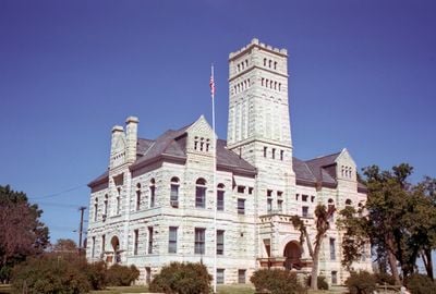
Geary County, County in Kansas, United States

Description

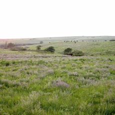
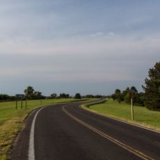
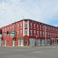
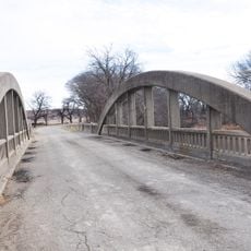
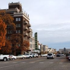
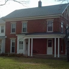
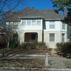
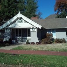
Geary County is an administrative county in Kansas, with Junction City serving as its administrative center and largest population hub. The area encompasses various landscapes with urban developments and water bodies, shaped by a mix of rural and urban structures.

History

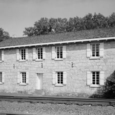
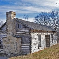
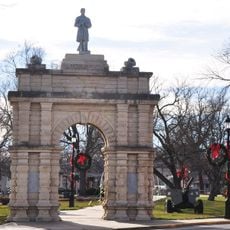
The territory was established as an administrative unit in 1855 and was originally known as Davis County before being renamed in 1888 to honor former governor John W. Geary. This name change reflected the growing significance of Geary to regional history.

Culture

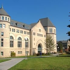
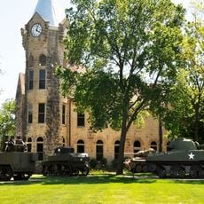
The area shows strong ties to Fort Riley military base, which shapes daily life and attracts many military families and veterans to settle here. This military presence runs through the community and defines the region's character.

Practical

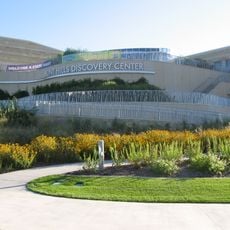
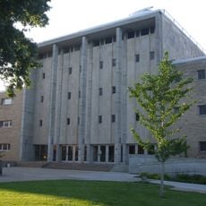
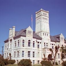
Junction City offers governmental services, educational facilities through USD 475, and public infrastructure for daily needs. Most services and facilities are centered in and around the administrative hub for easy access.

Did you know?

The county ranks among the smallest in Kansas by land area while hosting a remarkable range from urban settlements to natural water areas. This compactness allows visitors to explore different environments in a short time.

Location
Inception
August 30, 1855
Capital city
Junction City
Shares border with
Riley County, Morris County, Dickinson County, Clay County, Wabaunsee County
GPS coordinates
38.90861,-96.75222
Latest update
December 7, 2025 20:46

AroundUs brings together thousands of curated places, local tips, and hidden gems, enriched daily by 60,000 contributors worldwide. Discover all places nearby (Kansas).

Around this place
Bill Snyder Family Football Stadium
United States of America

Bill Snyder Family Football Stadium

35.4 km
Johnny Kaw
United States of America

Johnny Kaw

33.9 km
World War I Memorial Stadium
United States of America

World War I Memorial Stadium

34.3 km
Konza Prairie
United States of America

Konza Prairie

26.5 km
Flint Hills Discovery Center
United States of America

Flint Hills Discovery Center

34.2 km
United States of America

Sunset Zoo

32.8 km
First Territorial Capitol of Kansas
United States of America

First Territorial Capitol of Kansas

19.6 km
Hale Library
United States of America

Hale Library

34.7 km
U.S. Cavalry Museum
United States of America

U.S. Cavalry Museum

17.3 km
Anderson Hall
United States of America

Anderson Hall

34.5 km
Seven Dolors Catholic Church
United States of America

Seven Dolors Catholic Church

34 km
Seaton Hall
United States of America

Seaton Hall

34.6 km
Goodnow House
United States of America

Goodnow House

34.4 km
First Congregational Church
United States of America

First Congregational Church

34.3 km
Dickens Hall
United States of America

Dickens Hall

34.8 km
Manhattan Carnegie Library Building
United States of America

Manhattan Carnegie Library Building

34.1 km
Milford State Park
United States of America

Milford State Park

25.2 km
Bartell House
United States of America

Bartell House

14.4 km
Conroe Bridge
United States of America

Conroe Bridge

15.7 km
Downtown Manhattan Historic District
United States of America

Downtown Manhattan Historic District

34.3 km
Christian Wetzel Cabin
United States of America

Christian Wetzel Cabin

17 km
Jeremiah Platt House
United States of America

Jeremiah Platt House

34.6 km
E. A. and Ura Wharton House
United States of America

E. A. and Ura Wharton House

34.3 km
Bluemont Hall
United States of America

Bluemont Hall

34.7 km
Grand Army of the Republic memorial
United States of America

Grand Army of the Republic memorial

14.9 km
Woman's Club House
United States of America

Woman's Club House

34 km
Cardwell Hall
United States of America

Cardwell Hall

34.8 km
Junction City Downtown Historic District
United States of America

Junction City Downtown Historic District

15.3 km
Show the full map
Administrative divisions
« Geary County - County in Kansas, United States » is provided by Around Us (aroundus.com). Images and texts are derived from Wikimedia project under a Creative Commons license. You are allowed to copy, distribute, and modify copies of this page, under the conditions set by the license, as long as this note is clearly visible.

Discover hidden gems everywhere you go!

From secret cafés to breathtaking viewpoints, skip the crowded tourist spots and find places that match your style. Our app makes it easy with voice search, smart filtering, route optimization, and insider tips from travelers worldwide. Download now for the complete mobile experience.

Around Us App Screenshot

A unique approach to discovering new places

Le Figaro

All the places worth exploring

France Info

A tailor-made excursion in just a few clicks

20 Minutes

Around Us
Travel Guide & Maps
Download

Send to your phone

QR Code
1

Open the camera app on your mobile.

2

Point at the QR code with your camera. A notification will appear.

3

Tap the notification to open the link.