Norton County, Administrative county in northwestern Kansas, United States
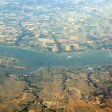
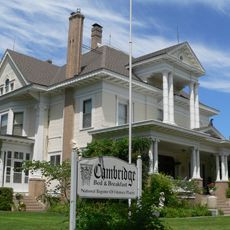
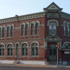
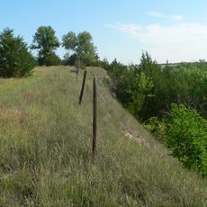
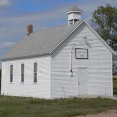
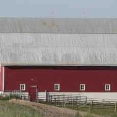
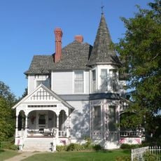
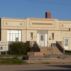
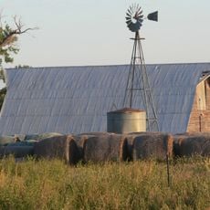
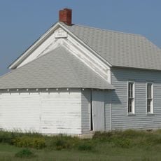
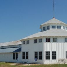
Norton County is an administrative division in northwestern Kansas that encompasses flat agricultural land and several small settlements. The city of Norton serves as the administrative hub and main focal point for the surrounding rural communities.
The county was established in 1867 and named after a person connected to the early settlement of the territory. The region developed as part of agricultural expansion across the Great Plains.
The Norton County government maintains strong community connections through regular commissioner meetings and local civic organizations that organize regional events.
The area is sparsely populated and best navigated by car, as public transportation is limited. Visitors should expect larger distances between towns and fewer dining and service options compared to urban areas.
Norton County shares borders with two Nebraska counties to the north, making it part of an interstate agricultural and administrative network.
Location: Kansas
Inception: February 26, 1867
Capital city: Norton
Shares border with: Furnas County, Graham County, Harlan County, Phillips County, Rooks County, Sheridan County, Decatur County
Website: https://nortoncountyks.gov
GPS coordinates: 39.88583,-99.68361
Latest update: December 10, 2025 15:59
Harlan County Reservoir
40.4 km
Cottonwood Ranch
72.5 km
Norton County meteorite
27.5 km
Prairie Dog State Park
24.5 km
St. Joseph Catholic Church
63.7 km
Prairie Dog Creek Bridge
21.8 km
W. H. Faling House
60.5 km
Bank of Oberlin
72.6 km
Mowry Bluff Archeological Site
71 km
First Congregational Church, U.C.C.
50.9 km
Pleasant Ridge Church
38.1 km
McCook Public-Carnegie Library
87.6 km
Norton Downtown Historic District
18.7 km
Shafer Barn
83.8 km
Rooks County Courthouse
61 km
Barbeau House
40.9 km
Alma City Auditorium and Sale Barn
36 km
Norcatur City Hall
43.6 km
North Fork Solomon River Lattice Truss Bridge
18.1 km
Harry Keith Barn
69.1 km
Hoff School District No. 42
54.7 km
Kirwin City Hall
53.6 km
Pottawatomie County Fair Pavilion
59.3 km
Nicodemus National Historic Site
55.2 km
Kirwin National Wildlife Refuge
50.7 km
Turkey Creek Bridge
54.2 km
Republican State Aid Bridge
59.6 km
Sappa Creek Bridge
29.5 kmVisited this place? Tap the stars to rate it and share your experience / photos with the community! Try now! You can cancel it anytime.
Discover hidden gems everywhere you go!
From secret cafés to breathtaking viewpoints, skip the crowded tourist spots and find places that match your style. Our app makes it easy with voice search, smart filtering, route optimization, and insider tips from travelers worldwide. Download now for the complete mobile experience.
A unique approach to discovering new places❞
— Le Figaro
All the places worth exploring❞
— France Info
A tailor-made excursion in just a few clicks❞
— 20 Minutes