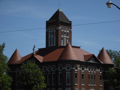
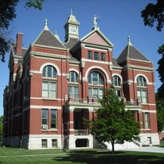
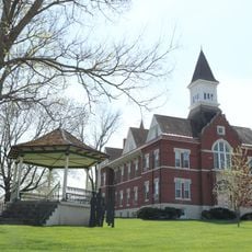
Anderson County, County in eastern Kansas, United States
Anderson County is a county in eastern Kansas covering approximately 584 square miles (1,512 square kilometers). It sits bordered by Franklin County to the north and Bourbon County to the southeast, with major highways including U.S. Route 59 and U.S. Route 169 crossing through it.
The territorial legislature established the county on August 25, 1855, naming it after Joseph C. Anderson, an early Kansas legislator. This formation reflected the broader settlement and organization of Kansas during the mid-1800s.
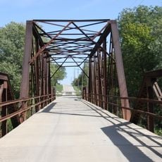
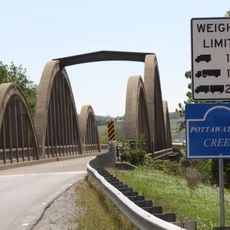
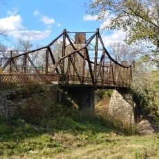
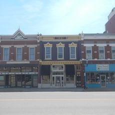
The region holds the history of the Pottawatomie peoples who lived here long before European settlement arrived. Visitors can find traces and reminders of these early inhabitants across different locations.
The county is easily accessible via several U.S. highways and well connected to neighboring regions. Visitors should expect rural areas and plan to travel by car, as public transportation options are limited.
In 1884, one of the first photographic records of a tornado was captured here. This historic image marked an important moment in the study of weather phenomena.
Location: Kansas
Inception: August 25, 1855
Capital city: Garnett
Shares border with: Franklin County, Miami County, Linn County, Bourbon County, Allen County, Woodson County, Coffey County
Website: http://AndersonCountyKS.org
GPS coordinates: 38.20000,-95.28330
Latest update: December 10, 2025 15:56
Melvern Lake
51.4 km
Dietrich Cabin
45.8 km
The Plaza Grill and Cinema
27.7 km
Allen County Jail
32.5 km
Old Depot Museum
46.8 km
Sennett and Bertha Kirk House
9.7 km
Peoples Bank Field
44.9 km
Anderson County Courthouse
10.1 km
Northrup House
32.5 km
Landers Creek Bridge
27 kmAtchison, Topeka, and Santa Fe Pratt Truss Bridge
45.8 km
Tauy Jones Hall
45 km
Tauy Jones House
52 km
Franklin County Courthouse
46 km
Burlington Carnegie Free Library
39.7 km
Burlington Opry
39.9 km
Ottawa Library
45 km
Linn County Courthouse
41.9 km
City Square Park Bandstand
45.3 km
Lander's Wagon and Carriage Shop
45.5 km
Yates Center Courthouse Square Historic District
52.7 km
Mine Creek Bridge
51.9 km
Carey’s Ford Bridge
41.8 km
John Brown Museum State Historic Site
43.7 km
Creamery Bridge
44.2 km
Pottawatomie Creek Bridge
43 km
Asylum Bridge
45.2 km
Historic Ottawa Central Business District
46.2 kmVisited this place? Tap the stars to rate it and share your experience / photos with the community! Try now! You can cancel it anytime.
Discover hidden gems everywhere you go!
From secret cafés to breathtaking viewpoints, skip the crowded tourist spots and find places that match your style. Our app makes it easy with voice search, smart filtering, route optimization, and insider tips from travelers worldwide. Download now for the complete mobile experience.
A unique approach to discovering new places❞
— Le Figaro
All the places worth exploring❞
— France Info
A tailor-made excursion in just a few clicks❞
— 20 Minutes