Enable Location

We need your location to show you interesting places around you

Discover nearby places

Find interesting locations and hidden gems around you

Precise directions

Get accurate directions and distances to places

Your location is never shared with other users. It's only used when you tap the location button.

Woodson County

Log in to your account

Start exploring — it's free

Trusted by 61,507 travelers worldwide

Continue with Google
Continue with Apple
or

We will send you a code to connect

By continuing, you accept our Terms and Conditions and our Privacy Policy

Check your inbox

We've sent a pincode in your inbox. Please enter the code below.

Woodson County, Administrative county in Kansas, United States

Description

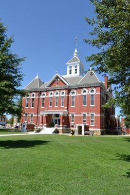
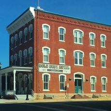
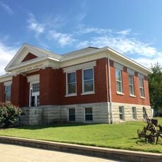
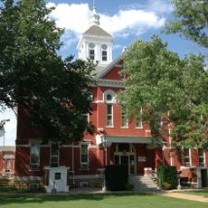
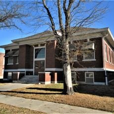
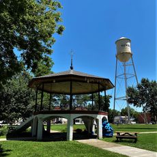
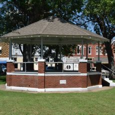
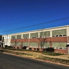
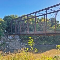
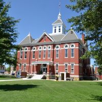
Woodson County is an administrative county in southeastern Kansas that encompasses farmland, small towns, and natural water features spread across its territory. Yates Center serves as the county seat and administrative center for local government functions.

History

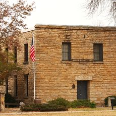
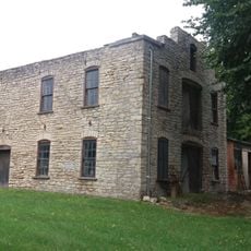
The county was established in 1855 and named after Daniel Woodson, a key figure in early Kansas Territory governance. The area later transitioned from its frontier conflicts to become an established agricultural community.

Culture

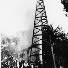
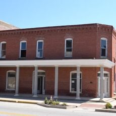
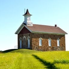
The region's identity reflects its role as a frontier meeting point where settlers, troops, and Native American communities intersected during the 1800s. This layered past remains visible in local landmarks and place names.

Practical

The area features flat to gently rolling terrain with a mix of farmland and small settlements that are easy to navigate by car. The best time to explore is during warmer months when roads are in good condition.

Did you know?

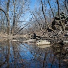
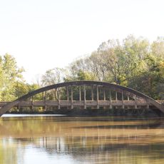
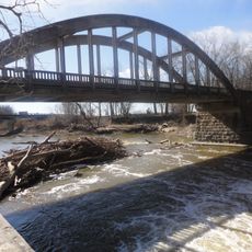
Toronto Lake, a major reservoir, was completed in the mid-1900s and continues to supply water to the region while offering recreational spaces for visitors. The lake plays a central role in local water management and outdoor activities.

Location
Inception
1855
Capital city
Yates Center
Shares border with
Coffey County, Wilson County, Anderson County, Allen County, Neosho County, Greenwood County
GPS coordinates
37.84278,-95.72444
Latest update
December 10, 2025 16:03

AroundUs brings together thousands of curated places, local tips, and hidden gems, enriched daily by 60,000 contributors worldwide. Discover all places nearby (Kansas).

Around this place
Cross Timbers State Park
United States of America

Cross Timbers State Park

20.6 km
Allen County Jail
United States of America

Allen County Jail

29.7 km
Norman No. 1 Oil Well
United States of America

Norman No. 1 Oil Well

47.9 km
Sennett and Bertha Kirk House
United States of America

Sennett and Bertha Kirk House

64.5 km
Greenwood Hotel
United States of America

Greenwood Hotel

50.1 km
Anderson County Courthouse
United States of America

Anderson County Courthouse

65.2 km
Northrup House
United States of America

Northrup House

29.9 km
Gold Dust Hotel
United States of America

Gold Dust Hotel

35.5 km
Robertson House
United States of America

Robertson House

49.2 km
Brown Hotel
United States of America

Brown Hotel

47.5 km
Neosho River Bridge
United States of America

Neosho River Bridge

55.5 km
Burlington Carnegie Free Library
United States of America

Burlington Carnegie Free Library

39.3 km
Burlington Opry
United States of America

Burlington Opry

39.2 km
Woodson County Courthouse
United States of America

Woodson County Courthouse

4.4 km
Arvonia School
United States of America

Arvonia School

71.9 km
Eureka Carnegie Library
United States of America

Eureka Carnegie Library

50.1 km
City Square Park Bandstand
United States of America

City Square Park Bandstand

25.6 km
Lander's Wagon and Carriage Shop
United States of America

Lander's Wagon and Carriage Shop

25.1 km
State Street Bridge
United States of America

State Street Bridge

52.2 km
Yates Center Courthouse Square Historic District
United States of America

Yates Center Courthouse Square Historic District

5.2 km
Yates Center Carnegie Library
United States of America

Yates Center Carnegie Library

4.6 km
Brush Creek Bridge
United States of America

Brush Creek Bridge

23.8 km
Richard Howe House
United States of America

Richard Howe House

72.7 km
Murray High School
United States of America

Murray High School

29.6 km
Teter Rock
United States of America

Teter Rock

64.8 km
Martin and Osa Johnson Safari Museum
United States of America

Martin and Osa Johnson Safari Museum

29.8 km
Soden's Grove Bridge
United States of America

Soden's Grove Bridge

72.5 km
Rocky Ford Bridge
United States of America

Rocky Ford Bridge

67.5 km
Show the full map
Administrative divisions
« Woodson County - Administrative county in Kansas, United States » is provided by Around Us (aroundus.com). Images and texts are derived from Wikimedia project under a Creative Commons license. You are allowed to copy, distribute, and modify copies of this page, under the conditions set by the license, as long as this note is clearly visible.

Discover hidden gems everywhere you go!

From secret cafés to breathtaking viewpoints, skip the crowded tourist spots and find places that match your style. Our app makes it easy with voice search, smart filtering, route optimization, and insider tips from travelers worldwide. Download now for the complete mobile experience.

Around Us App Screenshot

A unique approach to discovering new places

Le Figaro

All the places worth exploring

France Info

A tailor-made excursion in just a few clicks

20 Minutes

Around Us
Travel Guide & Maps
Download

Send to your phone

QR Code
1

Open the camera app on your mobile.

2

Point at the QR code with your camera. A notification will appear.

3

Tap the notification to open the link.