Chest opened
+${chestReward.xp} XP
Explorer
NOUVEAU ×${chestReward.collectible.quantity}
tapez pour fermer

See the monuments around you in AR Open chests in the app

Around Us is built for your phone — point your camera at the streets and discover the monuments and places around you in augmented reality. Around Us is built for your phone — chests unlock when you walk, explore and capture nearby places.

Enable Location

We need your location to show you interesting places around you

Discover nearby places

Find interesting locations and hidden gems around you

Precise directions

Get accurate directions and distances to places

Your location is never shared with other users. It's only used when you tap the location button.

Teter Rock

Log in to your account

Start exploring — it's free

Trusted by 86,050 travelers worldwide

Continue with Google
Continue with Apple
or

We will send you a code to connect

By continuing, you accept our Terms and Conditions and our Privacy Policy

Check your inbox

We've sent a pincode in your inbox. Please enter the code below.

Teter Rock
Discussion Reviews 1 Photos
100+ Popularity

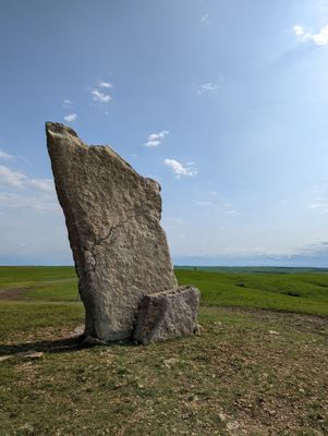
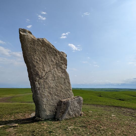
Teter Rock, Stone monument near Teterville, US.

Teter Rock is a 16-foot stone slab positioned on a hilltop in Greenwood County. The structure was created to mark the location where settlers once relied on a natural rock pile for guidance.

James Teter built the original rock formation in the 1870s to help settlers find the Cottonwood River as they moved westward. This landmark became an important way to navigate the unfamiliar landscape.

The monument reflects how early settlers marked the landscape to help each other navigate unfamiliar terrain. It shows the relationship between people and the land during the period of westward movement.

The site can be reached by taking a rural path that branches off to the south from the surrounding area. Visitors should be prepared for open countryside and the fact that the route crosses private land.

The stone sits on a rise that offers wide views across the flat prairie, which explains why this location worked so well as a landmark. From this vantage point, travelers could see the landscape for great distances.

The community of curious travelers

AroundUs brings together thousands of curated places, local tips, and hidden gems, enriched daily by 60,000 contributors worldwide.
Start exploring
Location
GPS coordinates
38.02958,-96.42359
Latest update
September 12, 2026 10:16
Around this place
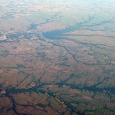
El Dorado Lake
United States of America

El Dorado Lake

25.2 mi
El Dorado State Park
United States of America

El Dorado State Park

22.3 mi
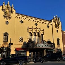
Emporia Granada Theatre
United States of America

Emporia Granada Theatre

29.3 mi
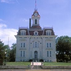
Chase County Courthouse
United States of America

Chase County Courthouse

24.6 mi
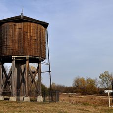
Beaumont St. Louis and San Francisco Railroad Water Tank
United States of America

Beaumont St. Louis and San Francisco Railroad Water Tank

26.6 mi
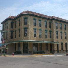
Greenwood Hotel
United States of America

Greenwood Hotel

16.1 mi
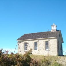
Lower Fox Creek School
United States of America

Lower Fox Creek School

29.4 mi
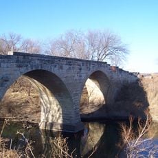
Clements Stone Arch Bridge
United States of America

Clements Stone Arch Bridge

25 mi
Robertson House
United States of America

Robertson House

16.2 mi
Cottonwood River Pratt Truss Bridge
United States of America

Cottonwood River Pratt Truss Bridge

27.4 mi
Butler County Courthouse
United States of America

Butler County Courthouse

27.6 mi
Crocker Ranch
United States of America

Crocker Ranch

13.1 mi
El Dorado Carnegie Library
United States of America

El Dorado Carnegie Library

27.7 mi
Burns Union School
United States of America

Burns Union School

25.6 mi
Eureka Carnegie Library
United States of America

Eureka Carnegie Library

15.9 mi
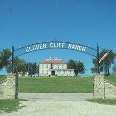
Clover Cliff Ranch House
United States of America

Clover Cliff Ranch House

25.6 mi
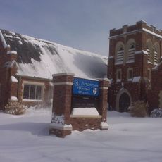
St. Andrew's Episcopal Church
United States of America

St. Andrew's Episcopal Church

29.4 mi
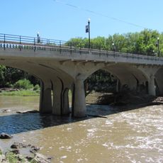
Cottonwood River Bridge
United States of America

Cottonwood River Bridge

24.7 mi
United States of America

Walt Mason House

29.4 mi
Richard Howe House
United States of America

Richard Howe House

28.5 mi
Fox Creek Stone Arch Bridge
United States of America

Fox Creek Stone Arch Bridge

26.7 mi
Wood House
United States of America

Wood House

24.2 mi
Chase County National Bank
United States of America

Chase County National Bank

24.5 mi
Cottonwood Falls Grade School
United States of America

Cottonwood Falls Grade School

24.2 mi
William C. & Jane Shaft House
United States of America

William C. & Jane Shaft House

25.9 mi
Spring Hill Farm and Stock Ranch House
United States of America

Spring Hill Farm and Stock Ranch House

28.9 mi
Soden's Grove Bridge
United States of America

Soden's Grove Bridge

27.9 mi
Rocky Ford Bridge
United States of America

Rocky Ford Bridge

28.7 mi
Show the full map
Reviews
Share your experience

No review yet

Discussions
Start a discussion...

No discussion yet

« Teter Rock - Stone monument near Teterville, US » is provided by Around Us (aroundus.com). Images and texts are derived from Wikimedia project under a Creative Commons license. You are allowed to copy, distribute, and modify copies of this page, under the conditions set by the license, as long as this note is clearly visible.

Discover hidden gems everywhere you go!

From secret cafés to breathtaking viewpoints, skip the crowded tourist spots and find places that match your style. Our app makes it easy with voice search, smart filtering, route optimization, and insider tips from travelers worldwide. Download now for the complete mobile experience.
Around Us App Screenshot

A unique approach to discovering new places

Le Figaro

All the places worth exploring

France Info

A tailor-made excursion in just a few clicks

20 Minutes

Around Us
Travel Guide & Maps
Download

Send to your phone

QR Code
1

Open the camera app on your mobile.

2

Point at the QR code with your camera. A notification will appear.

3

Tap the notification to open the link.