Enable Location

We need your location to show you interesting places around you

Discover nearby places

Find interesting locations and hidden gems around you

Precise directions

Get accurate directions and distances to places

Your location is never shared with other users. It's only used when you tap the location button.

Greensville County

Log in to your account

Start exploring — it's free

Trusted by 61,980 travelers worldwide

Continue with Google
Continue with Apple
or

We will send you a code to connect

By continuing, you accept our Terms and Conditions and our Privacy Policy

Check your inbox

We've sent a pincode in your inbox. Please enter the code below.

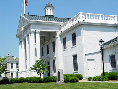
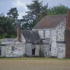
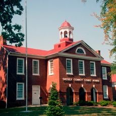
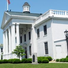
Greensville County, Administrative county in southeastern Virginia, United States

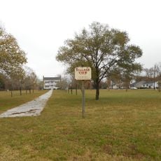
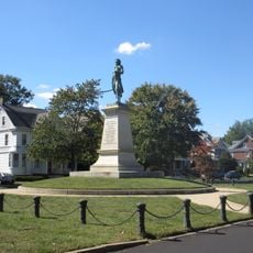
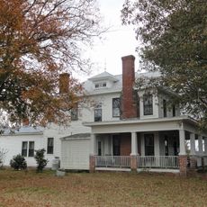
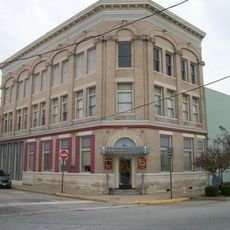
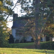
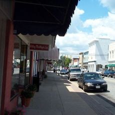
Greensville County is an administrative county in southeastern Virginia with mixed landscapes of residential neighborhoods, commercial areas, and farmland. The region comprises several small towns and balances rural character with urban functions.

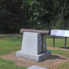
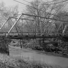
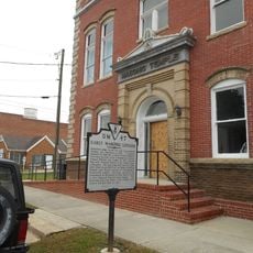
The area was established as a separate county in 1781 during the American Revolution when it split from Brunswick County. River transportation shaped its economic development for generations.

The establishment of a National Association for the Advancement of Colored People chapter in 1940 marked an important step in civil rights progress.

The area is served by major highways including Interstate 95, best explored by car since locations are spread throughout the county. Plan for driving time between towns and communities.

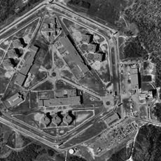
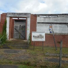
A substantial industrial complex with certified manufacturing space attracts factories and logistics companies to the area. This economic focus has shaped local development in recent decades.

The community of curious travelers

AroundUs brings together thousands of curated places, local tips, and hidden gems, enriched daily by 60,000 contributors worldwide.

Start exploring
Location
Inception
1780
Capital city
Emporia
Shares border with
Dinwiddie County, Brunswick County, Sussex County, Southampton County, Northampton County, Emporia
GPS coordinates
36.67000,-77.56000
Latest update
December 7, 2025 19:27
Around this place
Greensville Correctional Center
United States of America

Greensville Correctional Center

15.8 km
Fort Christanna
United States of America

Fort Christanna

28 km
Fortsville
United States of America

Fortsville

13.9 km
Rose Bower
United States of America

Rose Bower

29.7 km
Roanoke Rapids Historic District
United States of America

Roanoke Rapids Historic District

24.9 km
Village View
United States of America

Village View

1.9 km
Washington Avenue Historic District
United States of America

Washington Avenue Historic District

3.1 km
Gholson Bridge
United States of America

Gholson Bridge

24.8 km
Hobson's Choice
United States of America

Hobson's Choice

32.1 km
Aspen Lawn
United States of America

Aspen Lawn

11.1 km
Glenview
United States of America

Glenview

26.7 km
Greensville County Training School
United States of America

Greensville County Training School

3.9 km
Sussex County Courthouse Historic District
United States of America

Sussex County Courthouse Historic District

37 km
Garysburg United Methodist Church and Cemetery
United States of America

Garysburg United Methodist Church and Cemetery

24.9 km
Hicksford-Emporia Historic District
United States of America

Hicksford-Emporia Historic District

2.4 km
Old Merchants and Farmers Bank Building
United States of America

Old Merchants and Farmers Bank Building

2.2 km
Brunswick County Courthouse Square
United States of America

Brunswick County Courthouse Square

27.4 km
William H. Vincent House
United States of America

William H. Vincent House

32.3 km
Mason-Hardee-Capel House
United States of America

Mason-Hardee-Capel House

24.3 km
J.E. Piland House
United States of America

J.E. Piland House

26.4 km
Greensville County Courthouse Complex
United States of America

Greensville County Courthouse Complex

2.4 km
Belfield-Emporia Historic District
United States of America

Belfield-Emporia Historic District

3.1 km
Alexander Watson Batte House
United States of America

Alexander Watson Batte House

10.8 km
Lawrenceville Historic District
United States of America

Lawrenceville Historic District

27.5 km
Seaboard Historic District
United States of America

Seaboard Historic District

22.9 km
Weaver House
United States of America

Weaver House

10.8 km
Franklin Historic District
United States of America

Franklin Historic District

3.1 km
Saint Paul's College
United States of America

Saint Paul's College

27.8 km
Show the full map
« Greensville County - Administrative county in southeastern Virginia, United States » is provided by Around Us (aroundus.com). Images and texts are derived from Wikimedia project under a Creative Commons license. You are allowed to copy, distribute, and modify copies of this page, under the conditions set by the license, as long as this note is clearly visible.

Discover hidden gems everywhere you go!

From secret cafés to breathtaking viewpoints, skip the crowded tourist spots and find places that match your style. Our app makes it easy with voice search, smart filtering, route optimization, and insider tips from travelers worldwide. Download now for the complete mobile experience.

Around Us App Screenshot

A unique approach to discovering new places

Le Figaro

All the places worth exploring

France Info

A tailor-made excursion in just a few clicks

20 Minutes

Around Us
Travel Guide & Maps
Download

Send to your phone

QR Code
1

Open the camera app on your mobile.

2

Point at the QR code with your camera. A notification will appear.

3

Tap the notification to open the link.