Poweshiek County

Log in to your account

AroundUs is a community-driven map of interesting places, built by curious explorers like you. It grows with every review, story, and photo you share.
Connect to save your favorite spots, contribute locations, and create personalized routes.
By continuing, you accept our Terms and Conditions and our Privacy Policy
Add to collection
Map
Suggest a change
Share

Poweshiek County, County in east-central Iowa, United States

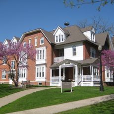
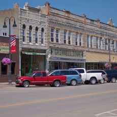
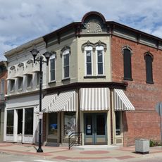
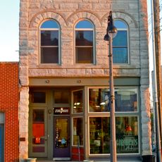
Poweshiek County is an administrative division in central Iowa that encompasses several communities with Montezuma serving as its county seat. The area consists of rural farmland and small towns distributed across the county's landscape.

The county was founded in 1843 and named after Chief Poweshiek, a Meskwaki leader whose people inhabited the region before European settlement. This choice of name acknowledged the indigenous roots of the land.

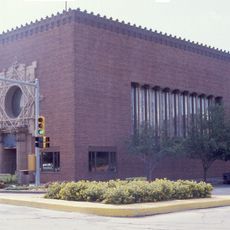
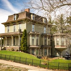
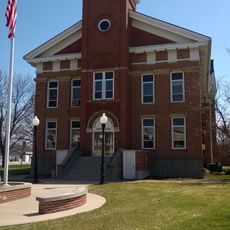
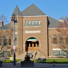
The courthouse in Montezuma has been a central gathering place for the county since its completion, where official business and civic meetings shape the daily rhythm of county life. This building anchors the identity of the county seat and remains deeply connected to how residents conduct their affairs.

The county seat of Montezuma serves as the main hub where administrative offices and public facilities are concentrated, making it the natural starting point for exploration. Getting around the county is easiest with a car since public transportation is limited across the rural areas.

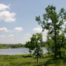
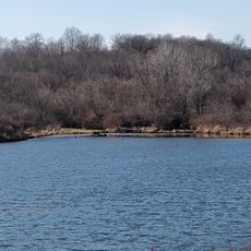
The Foster Center at Diamond Lake offers nature programs and seasonal workshops for children from preschool through fifth grade. This facility provides hands-on outdoor learning experiences that serve the younger residents of the county.

Location: Iowa

Inception: 1843

Capital city: Montezuma

Elevation above the sea: 293 m

Shares border with: Tama County, Mahaska County, Jasper County, Iowa County, Keokuk County, Marshall County, Benton County

Website: http://poweshiekcounty.org

GPS coordinates: 41.68417,-92.53000

Latest update: December 7, 2025 19:26

Photos
Around this place
Merchants' National Bank
United States of America

Merchants' National Bank

17.6 km
Rock Creek State Park
United States of America

Rock Creek State Park

26.9 km
Lincoln Highway Bridge
United States of America

Lincoln Highway Bridge

31.3 km
Bucksbaum Center for the Arts
United States of America

Bucksbaum Center for the Arts

17.3 km
Mears Cottage
United States of America

Mears Cottage

17.2 km
Pioneer Oil Company Filling Station
United States of America

Pioneer Oil Company Filling Station

17.7 km
B.J. Ricker House
United States of America

B.J. Ricker House

17.8 km
P.P. Raymond House
United States of America

P.P. Raymond House

3.5 km
Chambers Ford Bridge
United States of America

Chambers Ford Bridge

27.4 km
Poweshiek County Courthouse
United States of America

Poweshiek County Courthouse

11 km
Interior Telephone Company Building
United States of America

Interior Telephone Company Building

17.5 km
Goodnow Hall
United States of America

Goodnow Hall

17.4 km
Grinnell Historic Commercial District
United States of America

Grinnell Historic Commercial District

17.5 km
Montezuma Downtown Historic District
United States of America

Montezuma Downtown Historic District

11.1 km
Stewart Library
United States of America

Stewart Library

17.4 km
Bowers and McDonald Office Building
United States of America

Bowers and McDonald Office Building

17.4 km
Bruce Goldfish Fisheries
United States of America

Bruce Goldfish Fisheries

31.1 km
Lynnville Mill and Dam
United States of America

Lynnville Mill and Dam

24 km
Farmers Mutual Reinsurance Company Building
United States of America

Farmers Mutual Reinsurance Company Building

17.5 km
Frank E. and Katie Zalesky House
United States of America

Frank E. and Katie Zalesky House

31.4 km
Grinnell Herald Building
United States of America

Grinnell Herald Building

17.6 km
North Grinnell Historic District
United States of America

North Grinnell Historic District

17.6 km
Levi P. Grinnell House
United States of America

Levi P. Grinnell House

17.3 km
William Manatt House
United States of America

William Manatt House

8.7 km
Preston's Station Historic District
United States of America

Preston's Station Historic District

30.5 km
E.A. and Rebecca Marsh House
United States of America

E.A. and Rebecca Marsh House

16.9 km
Christian Science Society
United States of America

Christian Science Society

18.1 km
Jacob Krumm Ahrens Access
United States of America

Jacob Krumm Ahrens Access

21.5 km
Show the full map
Reviews

Visited this place? Tap the stars to rate it and share your experience / photos with the community! Try now! You can cancel it anytime.

Administrative divisions
« Poweshiek County - County in east-central Iowa, United States » is provided by Around Us (aroundus.com). Images and texts are derived from Wikimedia project under a Creative Commons license. You are allowed to copy, distribute, and modify copies of this page, under the conditions set by the license, as long as this note is clearly visible.

Discover hidden gems everywhere you go!

From secret cafés to breathtaking viewpoints, skip the crowded tourist spots and find places that match your style. Our app makes it easy with voice search, smart filtering, route optimization, and insider tips from travelers worldwide. Download now for the complete mobile experience.

Around Us App Screenshot

A unique approach to discovering new places

Le Figaro

All the places worth exploring

France Info

A tailor-made excursion in just a few clicks

20 Minutes