Enable Location

We need your location to show you interesting places around you

Discover nearby places

Find interesting locations and hidden gems around you

Precise directions

Get accurate directions and distances to places

Your location is never shared with other users. It's only used when you tap the location button.

Clermont County

Log in to your account

Start exploring — it's free

Trusted by 61,863 travelers worldwide

Continue with Google
Continue with Apple
or

We will send you a code to connect

By continuing, you accept our Terms and Conditions and our Privacy Policy

Check your inbox

We've sent a pincode in your inbox. Please enter the code below.

Clermont County, County administrative division in Cincinnati metropolitan area, United States.

Description

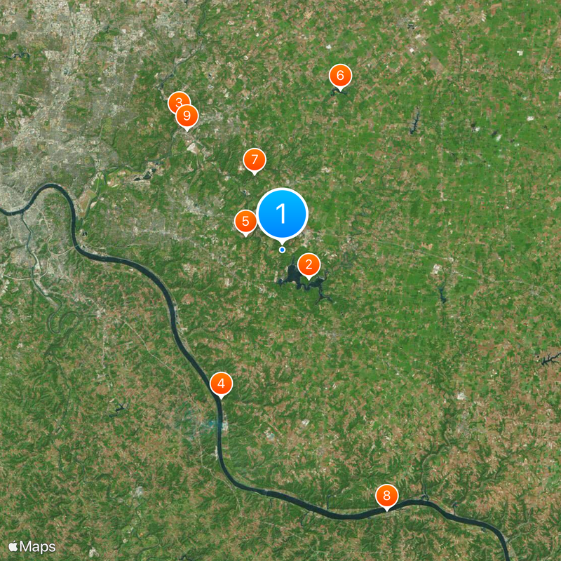
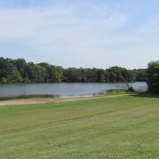
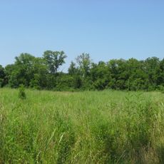
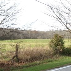
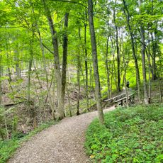
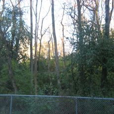
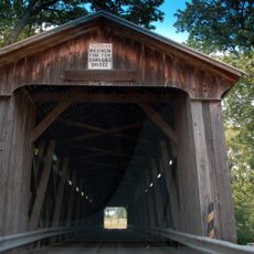
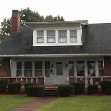
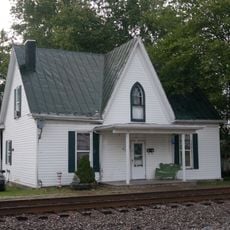
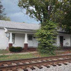
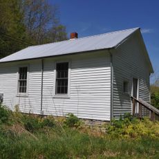
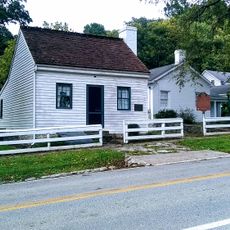
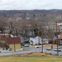
Clermont County covers a mixed landscape of suburban and rural areas east of Cincinnati alongside the Ohio River, encompassing multiple municipalities and neighborhoods. The terrain features river valleys, forests, and residential zones interspersed with open farmland and green spaces.

History

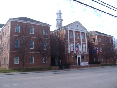
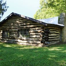
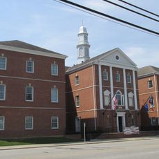
The county was established in 1800 as an administrative division of the region. Batavia was chosen as its administrative center and has been the governing seat since its foundation.

Culture

Local libraries and community centers serve as gathering places where residents connect through events and shared activities. These spaces reflect how people in the area come together to learn and spend time with their neighbors.

Practical

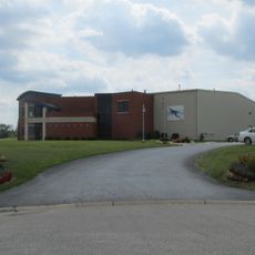
Administrative services and county offices are centered in Batavia, which serves as the main hub for visitors seeking official information. It's helpful to check ahead for specific office locations and hours before planning a visit to conduct business.

Did you know?

The county operates an Open Finance program that grants residents direct access to detailed government financial records and operational information. This transparency initiative allows people to view how public funds are spent and managed.

Location
Inception
December 6, 1800
Capital city
Batavia
Reference
CLE
Part of
Cincinnati metropolitan area
Shares border with
Warren County, Brown County, Clinton County, Bracken County, Hamilton County, Pendleton County, Campbell County
GPS coordinates
39.05000,-84.15000
Latest update
December 20, 2025 00:17

AroundUs brings together thousands of curated places, local tips, and hidden gems, enriched daily by 60,000 contributors worldwide. Discover all places nearby (Ohio).

Around this place
East Fork State Park
United States of America

East Fork State Park

4.6 km
Camp Dennison
United States of America

Camp Dennison

19.9 km
Grant Birthplace
United States of America

Grant Birthplace

18.8 km
Tri-State Warbird Museum
United States of America

Tri-State Warbird Museum

4.7 km
Stonelick State Park
United States of America

Stonelick State Park

20.1 km
Stonelick Covered Bridge
United States of America

Stonelick Covered Bridge

9.6 km
Rosemary Clooney Museum
United States of America

Rosemary Clooney Museum

33 km
Promont
United States of America

Promont

18.1 km
Gatch Site
United States of America

Gatch Site

18 km
United States of America

Hindu Temple of Greater Cincinnati

13.9 km
Bullskin Creek Site
United States of America

Bullskin Creek Site

30.2 km
Cincinnati Nature Center
United States of America

Cincinnati Nature Center

11.9 km
Pfarr Log House
United States of America

Pfarr Log House

9 km
Clermont County Courthouse
United States of America

Clermont County Courthouse

3.9 km
United States of America

Elijah Herndon House

18.5 km
East Fork Public Beach
United States of America

East Fork Public Beach

3.7 km
Cyrus Broadwell House
United States of America

Cyrus Broadwell House

16.6 km
William Winter Stone House
United States of America

William Winter Stone House

18.4 km
Immaculate Conception Catholic Church
United States of America

Immaculate Conception Catholic Church

25.3 km
Shield's Crossing
United States of America

Shield's Crossing

26 km
McCafferty Road Covered Bridge
United States of America

McCafferty Road Covered Bridge

17.5 km
Brothers-O'Neil House
United States of America

Brothers-O'Neil House

33.5 km
Ferris Site
United States of America

Ferris Site

16.1 km
James Weldon House
United States of America

James Weldon House

33.4 km
Wells-Keith House
United States of America

Wells-Keith House

33.4 km
Bradford School House
United States of America

Bradford School House

30 km
Grant's Birthplace State Memorial
United States of America

Grant's Birthplace State Memorial

18.7 km
Loveland Bike Trail
United States of America

Loveland Bike Trail

26 km
Show the full map
Administrative divisions
« Clermont County - County administrative division in Cincinnati metropolitan area, United States » is provided by Around Us (aroundus.com). Images and texts are derived from Wikimedia project under a Creative Commons license. You are allowed to copy, distribute, and modify copies of this page, under the conditions set by the license, as long as this note is clearly visible.

Discover hidden gems everywhere you go!

From secret cafés to breathtaking viewpoints, skip the crowded tourist spots and find places that match your style. Our app makes it easy with voice search, smart filtering, route optimization, and insider tips from travelers worldwide. Download now for the complete mobile experience.

Around Us App Screenshot

A unique approach to discovering new places

Le Figaro

All the places worth exploring

France Info

A tailor-made excursion in just a few clicks

20 Minutes

Around Us
Travel Guide & Maps
Download

Send to your phone

QR Code
1

Open the camera app on your mobile.

2

Point at the QR code with your camera. A notification will appear.

3

Tap the notification to open the link.