Enable Location

We need your location to show you interesting places around you

Discover nearby places

Find interesting locations and hidden gems around you

Precise directions

Get accurate directions and distances to places

Your location is never shared with other users. It's only used when you tap the location button.

Darke County

Log in to your account

Start exploring — it's free

Trusted by 61,864 travelers worldwide

Continue with Google
Continue with Apple
or

We will send you a code to connect

By continuing, you accept our Terms and Conditions and our Privacy Policy

Check your inbox

We've sent a pincode in your inbox. Please enter the code below.

Darke County, County in western Ohio, United States.

Description

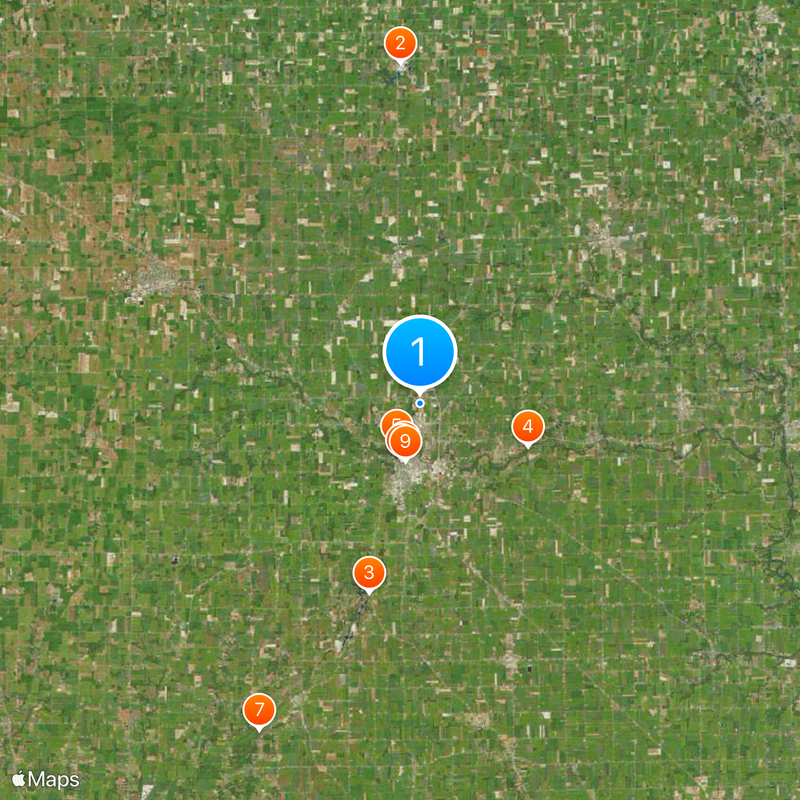
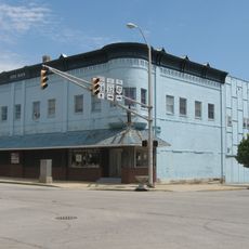
Darke County is an administrative region in western Ohio situated near the Indiana state line. The area encompasses towns, rural communities, and historic settlements spread across the landscape.

History

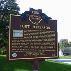
The region was founded in 1817 and named after William Darke, a Revolutionary War officer. Its establishment marked part of Ohio's westward growth during the state's early development.

Culture

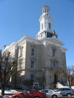
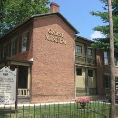
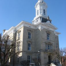
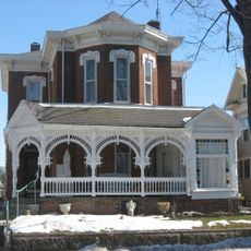
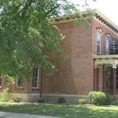
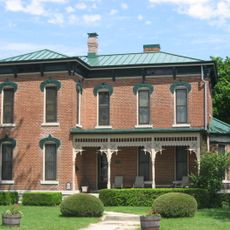
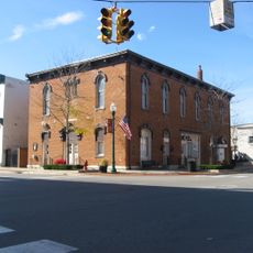
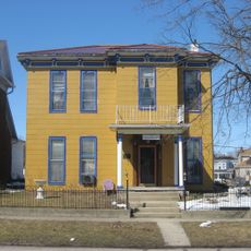
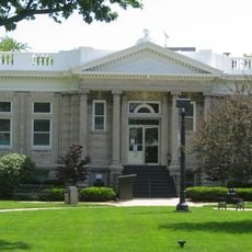
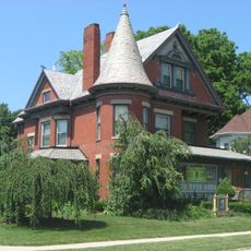
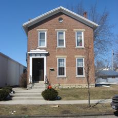
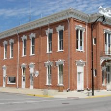
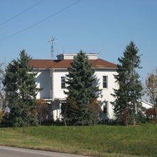
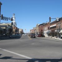
The County Courthouse and Sheriff's House stand as visible reminders of how local government shaped community life. These buildings reflect the architectural heritage that residents and visitors encounter throughout the region.

Practical

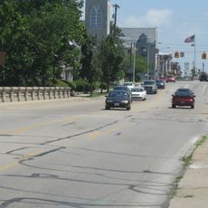
The best way to explore the area is by car, as communities and attractions are spread across distances. Local services and amenities are distributed throughout the various towns within the region.

Did you know?

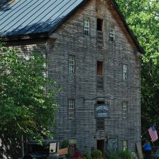
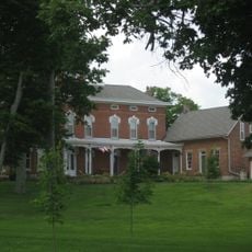
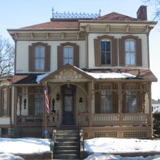
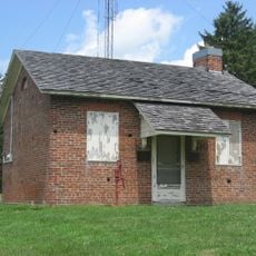
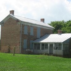
The area was long a frontier region, and traces of this settlement history remain visible across the landscape. Old trading routes and settlement patterns still shape how communities are arranged today.

Location
Inception
March 1, 1817
Capital city
Greenville
Reference
DAR
Shares border with
Mercer County, Preble County, Auglaize County, Shelby County, Miami County, Montgomery County, Wayne County, Randolph County, Jay County
GPS coordinates
40.13000,-84.62000
Latest update
December 20, 2025 14:15

AroundUs brings together thousands of curated places, local tips, and hidden gems, enriched daily by 60,000 contributors worldwide. Discover all places nearby (Ohio).

Around this place
Eldora Speedway
United States of America

Eldora Speedway

21 km
Fort Jefferson
United States of America

Fort Jefferson

12 km
Bear's Mill
United States of America

Bear's Mill

7.1 km
Garst Museum
United States of America

Garst Museum

2.9 km
Darke County Courthouse, Sheriff's House and Jail
United States of America

Darke County Courthouse, Sheriff's House and Jail

3.4 km
Christopher C. Walker House and Farm
United States of America

Christopher C. Walker House and Farm

22.4 km
Greenville Carnegie Library
United States of America

Greenville Carnegie Library

3.6 km
Leftwich House
United States of America

Leftwich House

3.6 km
Benjamin Franklin Coppess House
United States of America

Benjamin Franklin Coppess House

3.6 km
Waring House
United States of America

Waring House

3.6 km
William Kerr House
United States of America

William Kerr House

18 km
Lambert-Parent House
United States of America

Lambert-Parent House

17.2 km
Versailles Town Hall and Wayne Township House
United States of America

Versailles Town Hall and Wayne Township House

15.4 km
Lansdowne House
United States of America

Lansdowne House

3 km
Broadway Bridge
United States of America

Broadway Bridge

3.2 km
St. Peter's Evangelical Lutheran Church
United States of America

St. Peter's Evangelical Lutheran Church

15.1 km
Union City Public Library
United States of America

Union City Public Library

17.9 km
Donovan Robeson House
United States of America

Donovan Robeson House

3.7 km
Studabaker-Scott House and Beehive School
United States of America

Studabaker-Scott House and Beehive School

6.7 km
Anna Beir House
United States of America

Anna Beir House

3.2 km
Greenville Mausoleum
United States of America

Greenville Mausoleum

3.1 km
Brown Township Building
United States of America

Brown Township Building

8.8 km
William English House
United States of America

William English House

19.2 km
Union City Commercial Historic District
United States of America

Union City Commercial Historic District

17.8 km
James and Sophia Clemens Farmstead
United States of America

James and Sophia Clemens Farmstead

16 km
United States of America

Greenville South Broadway Commercial Historic District

3.4 km
Fort Jefferson
United States of America

Fort Jefferson

12 km
United States of America

Stillwater Valley Golf Club

14.1 km
Show the full map
Administrative divisions
« Darke County - County in western Ohio, United States » is provided by Around Us (aroundus.com). Images and texts are derived from Wikimedia project under a Creative Commons license. You are allowed to copy, distribute, and modify copies of this page, under the conditions set by the license, as long as this note is clearly visible.

Discover hidden gems everywhere you go!

From secret cafés to breathtaking viewpoints, skip the crowded tourist spots and find places that match your style. Our app makes it easy with voice search, smart filtering, route optimization, and insider tips from travelers worldwide. Download now for the complete mobile experience.

Around Us App Screenshot

A unique approach to discovering new places

Le Figaro

All the places worth exploring

France Info

A tailor-made excursion in just a few clicks

20 Minutes

Around Us
Travel Guide & Maps
Download

Send to your phone

QR Code
1

Open the camera app on your mobile.

2

Point at the QR code with your camera. A notification will appear.

3

Tap the notification to open the link.