Enable Location

We need your location to show you interesting places around you

Discover nearby places

Find interesting locations and hidden gems around you

Precise directions

Get accurate directions and distances to places

Your location is never shared with other users. It's only used when you tap the location button.

Mills County

Log in to your account

Start exploring — it's free

Trusted by 62,835 travelers worldwide

Continue with Google
Continue with Apple
or

We will send you a code to connect

By continuing, you accept our Terms and Conditions and our Privacy Policy

Check your inbox

We've sent a pincode in your inbox. Please enter the code below.

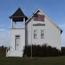
Mills County, Administrative county in southwestern Iowa, United States

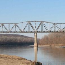
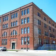
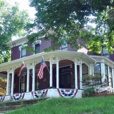
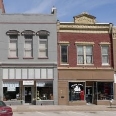
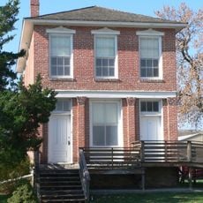
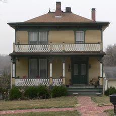
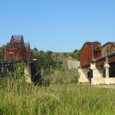
Mills County is an administrative county in southwestern Iowa comprising several towns and rural communities. The region spans rolling terrain shaped by the Missouri River, which forms its western boundary.

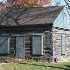
The county was established in 1851 and named after Major Frederick Mills, an officer from the early American era. The first permanent settlement arrived in 1846 when Rushville was founded by members of a religious community.

The settlement of Rushville marked the first permanent community in 1846, founded by members of the Church of Jesus Christ of Latter-day Saints.

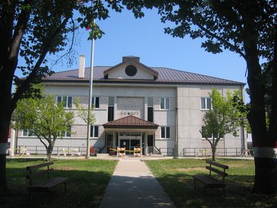
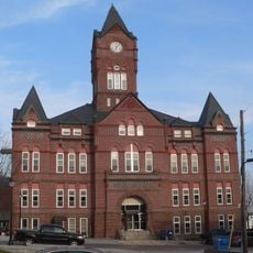
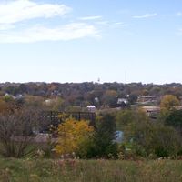
Glenwood serves as the county seat and is the center for public services in the region. Interstate 29 runs through the area, providing straightforward connections to larger cities like Omaha and Council Bluffs.

The county sits directly adjacent to the Omaha region and offers a blend of rural living with proximity to a metropolitan area. This position makes it a transition zone between countryside and urban centers.

The community of curious travelers

AroundUs brings together thousands of curated places, local tips, and hidden gems, enriched daily by 60,000 contributors worldwide.

Start exploring
Location
Inception
1851
Capital city
Glenwood
Elevation above the sea
315 m
Shares border with
Pottawattamie County, Fremont County, Montgomery County, Page County, Cass County, Sarpy County
GPS coordinates
41.03306,-95.61889
Latest update
December 10, 2025 15:55
Around this place
Fontenelle Forest
United States of America

Fontenelle Forest

29.9 km
Grenville M. Dodge House
United States of America

Grenville M. Dodge House

31.2 km
Plattsmouth Bridge
United States of America

Plattsmouth Bridge

21.1 km
Bellevue Bridge
United States of America

Bellevue Bridge

24.8 km
Log Cabin
United States of America

Log Cabin

25.9 km
Presbyterian Church
United States of America

Presbyterian Church

25.9 km
St. Patrick Church
United States of America

St. Patrick Church

23.5 km
Pony Creek Park
United States of America

Pony Creek Park

14.7 km
Todd House
United States of America

Todd House

15.6 km
Martin Hughes House
United States of America

Martin Hughes House

31.1 km
Tabor Congregational Church
United States of America

Tabor Congregational Church

15.5 km
August Beresheim House
United States of America

August Beresheim House

31.3 km
Pioneer Implement Company
United States of America

Pioneer Implement Company

31.3 km
Velosco V. Leonard House
United States of America

Velosco V. Leonard House

22.5 km
Cass County Courthouse
United States of America

Cass County Courthouse

22.4 km
United States of America

Young Cemetery Cabin

26.1 km
Plattsmouth Main Street Historic District
United States of America

Plattsmouth Main Street Historic District

22.4 km
George E. Dovey House
United States of America

George E. Dovey House

22.3 km
Fontenelle Bank
United States of America

Fontenelle Bank

25.6 km
Capt. John O'Rourke House
United States of America

Capt. John O'Rourke House

22.6 km
Sandwich–Marseilles Manufacturing Building
United States of America

Sandwich–Marseilles Manufacturing Building

31.1 km
William Hamilton House
United States of America

William Hamilton House

25.5 km
William E. Gordon House
United States of America

William E. Gordon House

27.1 km
Plattsmouth Railroad Bridge
United States of America

Plattsmouth Railroad Bridge

21.1 km
Gottfried Gustav Pitz Barn
United States of America

Gottfried Gustav Pitz Barn

21.8 km
RailsWest Railroad Museum
United States of America

RailsWest Railroad Museum

30.8 km
Naomi Institute
United States of America

Naomi Institute

22.8 km
Hunter School
United States of America

Hunter School

18.3 km
Show the full map
Administrative divisions
« Mills County - Administrative county in southwestern Iowa, United States » is provided by Around Us (aroundus.com). Images and texts are derived from Wikimedia project under a Creative Commons license. You are allowed to copy, distribute, and modify copies of this page, under the conditions set by the license, as long as this note is clearly visible.

Discover hidden gems everywhere you go!

From secret cafés to breathtaking viewpoints, skip the crowded tourist spots and find places that match your style. Our app makes it easy with voice search, smart filtering, route optimization, and insider tips from travelers worldwide. Download now for the complete mobile experience.

Around Us App Screenshot

A unique approach to discovering new places

Le Figaro

All the places worth exploring

France Info

A tailor-made excursion in just a few clicks

20 Minutes

Around Us
Travel Guide & Maps
Download

Send to your phone

QR Code
1

Open the camera app on your mobile.

2

Point at the QR code with your camera. A notification will appear.

3

Tap the notification to open the link.