Enable Location

We need your location to show you interesting places around you

Discover nearby places

Find interesting locations and hidden gems around you

Precise directions

Get accurate directions and distances to places

Your location is never shared with other users. It's only used when you tap the location button.

Ringgold County

Log in to your account

Start exploring — it's free

Trusted by 61,851 travelers worldwide

Continue with Google
Continue with Apple
or

We will send you a code to connect

By continuing, you accept our Terms and Conditions and our Privacy Policy

Check your inbox

We've sent a pincode in your inbox. Please enter the code below.

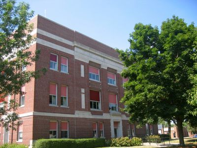
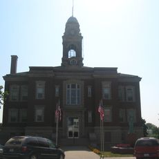
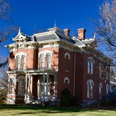
Ringgold County, County seat and administrative center in southern Iowa, United States.

Description

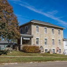
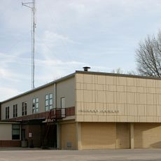
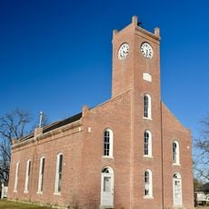
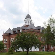
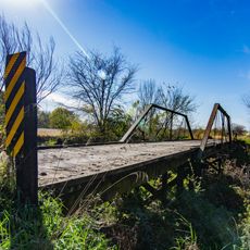
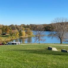
Ringgold County is an administrative division in southern Iowa with Mount Ayr as its county seat, encompassing approximately 539 square miles of land. The territory includes several small towns, agricultural land, and conservation areas managed by the Ringgold County Conservation Board.

History

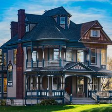
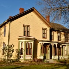
Established in 1847, the county was named after Major Samuel Ringgold, who died during the Battle of Palo Alto in the Mexican-American War. Early settlement focused on establishing agricultural communities and small towns that have remained central to the region's character.

Culture

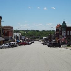
Agriculture shapes daily life across the county, with corn and soybean farming defining the economic rhythms of small towns and rural communities. These traditions remain visible in local markets and conversations, where crop seasons and livestock continue to dominate local concerns.

Practical

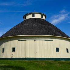
Visitors can explore three public parks offering camping facilities, hiking trails, and recreational areas for outdoor activities. The best time to visit is during warmer months when all outdoor facilities are fully accessible and weather permits comfortable exploration.

Did you know?

The county is the only location in Iowa where Greater Prairie Chickens can be found living in the wild. From March through May, visitors can observe these rare birds performing their distinctive mating displays.

Location
Inception
February 24, 1847
Capital city
Mount Ayr
Shares border with
Union County, Harrison County, Worth County, Adams County, Clarke County, Taylor County, Decatur County
GPS coordinates
40.73222,-94.24806
Latest update
December 8, 2025 13:44

AroundUs brings together thousands of curated places, local tips, and hidden gems, enriched daily by 60,000 contributors worldwide. Discover all places nearby (Iowa).

Around this place
Beaconsfield Supply Store
United States of America

Beaconsfield Supply Store

18.7 km
Bedford Public Library
United States of America

Bedford Public Library

44.4 km
Lenox Round Barn
United States of America

Lenox Round Barn

41.1 km
J.V. Banta House
United States of America

J.V. Banta House

52.2 km
Adams County Jail
United States of America

Adams County Jail

50.1 km
Liberty Hall
United States of America

Liberty Hall

27.7 km
Decatur County Courthouse
United States of America

Decatur County Courthouse

42.3 km
Ringgold County Courthouse
United States of America

Ringgold County Courthouse

2.3 km
Taylor County Courthouse
United States of America

Taylor County Courthouse

40.4 km
Jefferson Elementary School
United States of America

Jefferson Elementary School

37.9 km
Clarke County Courthouse
United States of America

Clarke County Courthouse

52.6 km
United States Post Office
United States of America

United States Post Office

37.7 km
Union Church
United States of America

Union Church

38.7 km
Lee Shay Farmhouse
United States of America

Lee Shay Farmhouse

12.4 km
Grand River Bridge
United States of America

Grand River Bridge

31.4 km
Worth County Courthouse
United States of America

Worth County Courthouse

30.6 km
Adams County Courthouse
United States of America

Adams County Courthouse

50.1 km
Snider Bridge
United States of America

Snider Bridge

42 km
Bedford House
United States of America

Bedford House

40.3 km
Dickinson Webster House
United States of America

Dickinson Webster House

52.1 km
George H. and Alice Spaulding Cowles House
United States of America

George H. and Alice Spaulding Cowles House

52.4 km
Marcellus Luther and Julia Protzman Temple House
United States of America

Marcellus Luther and Julia Protzman Temple House

52.3 km
Ringgold County Jail
United States of America

Ringgold County Jail

2.3 km
Bedford Commercial Historic District
United States of America

Bedford Commercial Historic District

40.4 km
Corning Commercial Historic District
United States of America

Corning Commercial Historic District

50 km
Cheville Chapel
United States of America

Cheville Chapel

29.9 km
Little River Beach
United States of America

Little River Beach

40.4 km
Middlefork Methodist Episcopal Church
United States of America

Middlefork Methodist Episcopal Church

16.2 km
Show the full map
Administrative divisions
« Ringgold County - County seat and administrative center in southern Iowa, United States » is provided by Around Us (aroundus.com). Images and texts are derived from Wikimedia project under a Creative Commons license. You are allowed to copy, distribute, and modify copies of this page, under the conditions set by the license, as long as this note is clearly visible.

Discover hidden gems everywhere you go!

From secret cafés to breathtaking viewpoints, skip the crowded tourist spots and find places that match your style. Our app makes it easy with voice search, smart filtering, route optimization, and insider tips from travelers worldwide. Download now for the complete mobile experience.

Around Us App Screenshot

A unique approach to discovering new places

Le Figaro

All the places worth exploring

France Info

A tailor-made excursion in just a few clicks

20 Minutes

Around Us
Travel Guide & Maps
Download

Send to your phone

QR Code
1

Open the camera app on your mobile.

2

Point at the QR code with your camera. A notification will appear.

3

Tap the notification to open the link.