Enable Location

We need your location to show you interesting places around you

Discover nearby places

Find interesting locations and hidden gems around you

Precise directions

Get accurate directions and distances to places

Your location is never shared with other users. It's only used when you tap the location button.

Osceola County

Log in to your account

Start exploring — it's free

Trusted by travelers worldwide

Continue with Google
Continue with Apple
or

We will send you a code to connect

By continuing, you accept our Terms and Conditions and our Privacy Policy

Check your inbox

We've sent a pincode in your inbox. Please enter the code below.

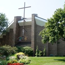
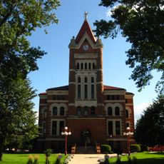
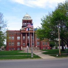
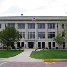
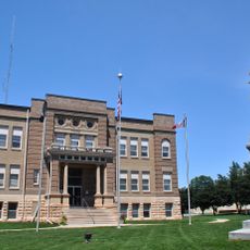
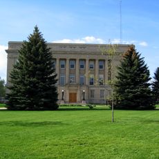
Osceola County, County seat in northwestern Iowa, United States

Description

Osceola County is an administrative division in northwestern Iowa that contains the towns of Sibley, Ocheyedan, and Ashton spread across agricultural land. The county is crossed by major highways that link these communities and connect to areas beyond.

History

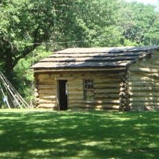
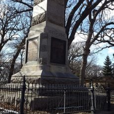
The county was established in 1871 as one of Iowa's 99 administrative divisions, with Sibley chosen as its seat. This creation followed the settlement and development of the region by European immigrants.

Culture

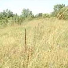
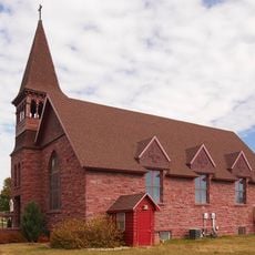
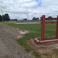
Agriculture shapes the everyday rhythm of life here, with fields and farms dominating the landscape and how people spend their days. Visitors encounter working land at every turn, where farming is not just work but the foundation of community identity.

Practical

U.S. Highway 59, Iowa Highway 9, and Iowa Highway 60 provide the main routes for traveling through the county and connecting its communities. These roads make it easy to explore different parts of the region and reach services in nearby areas.

Did you know?

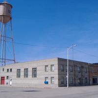
The county operates wind energy installations and ethanol production plants that transform agricultural products into fuel and power. These facilities show how farming and modern energy production work together in the same region.

Location
Inception
1871
Capital city
Sibley
Elevation above the sea
477 m
Shares border with
Nobles County, Jackson County, Dickinson County, O'Brien County, Lyon County, Sioux County, Clay County
GPS coordinates
43.37778,-95.62778
Latest update
December 10, 2025 16:02

AroundUs brings together thousands of curated places, local tips, and hidden gems, enriched daily by 60,000 contributors worldwide. Discover all places nearby (Iowa).

Around this place
West Okoboji Lake
United States of America

West Okoboji Lake

37.9 km
United States of America

Spirit Lake Massacre

42.9 km
United States of America

Gull Point State Park

37.4 km
First Reformed Church
United States of America

First Reformed Church

53.8 km
Pillsbury Point State Park
United States of America

Pillsbury Point State Park

39.4 km
Spirit Lake Massacre Log Cabin
United States of America

Spirit Lake Massacre Log Cabin

39.4 km
George D. Dayton House
United States of America

George D. Dayton House

27.4 km
Indian Village Site
United States of America

Indian Village Site

47.2 km
Carnegie Library
United States of America

Carnegie Library

28.7 km
Sioux County Courthouse
United States of America

Sioux County Courthouse

54.3 km
Church of St. Kilian
United States of America

Church of St. Kilian

49.7 km
Clay County Courthouse
United States of America

Clay County Courthouse

46.9 km
Dickinson County Courthouse
United States of America

Dickinson County Courthouse

42.7 km
O'Brien County Courthouse
United States of America

O'Brien County Courthouse

32.4 km
Melan Bridge
United States of America

Melan Bridge

43 km
Osceola County Courthouse
United States of America

Osceola County Courthouse

10.1 km
Church of St. Adrian-Catholic
United States of America

Church of St. Adrian-Catholic

37.6 km
Lyon County Courthouse
United States of America

Lyon County Courthouse

44 km
Holy Trinity Church-Episcopal
United States of America

Holy Trinity Church-Episcopal

56.3 km
Zwemer Hall, Northwestern College
United States of America

Zwemer Hall, Northwestern College

54.8 km
Old Spirit Lake Public Library
United States of America

Old Spirit Lake Public Library

42.8 km
Gerome Clark House
United States of America

Gerome Clark House

45.6 km
Sacred Heart Catholic Church
United States of America

Sacred Heart Catholic Church

52.7 km
Pearson Lakes Art Center
United States of America

Pearson Lakes Art Center

40.5 km
Abbie Gardner Cabin
United States of America

Abbie Gardner Cabin

39.4 km
Superior 71 Drive-In
United States of America

Superior 71 Drive-In

51.6 km
Palace Theatre
United States of America

Palace Theatre

56.1 km
Memorial Park
United States of America

Memorial Park

38.3 km
Show the full map
Administrative divisions
« Osceola County - County seat in northwestern Iowa, United States » is provided by Around Us (aroundus.com). Images and texts are derived from Wikimedia project under a Creative Commons license. You are allowed to copy, distribute, and modify copies of this page, under the conditions set by the license, as long as this note is clearly visible.

Discover hidden gems everywhere you go!

From secret cafés to breathtaking viewpoints, skip the crowded tourist spots and find places that match your style. Our app makes it easy with voice search, smart filtering, route optimization, and insider tips from travelers worldwide. Download now for the complete mobile experience.

Around Us App Screenshot

A unique approach to discovering new places

Le Figaro

All the places worth exploring

France Info

A tailor-made excursion in just a few clicks

20 Minutes

Around Us
Travel Guide & Maps
Download

Send to your phone

QR Code
1

Open the camera app on your mobile.

2

Point at the QR code with your camera. A notification will appear.

3

Tap the notification to open the link.