Enable Location

We need your location to show you interesting places around you

Discover nearby places

Find interesting locations and hidden gems around you

Precise directions

Get accurate directions and distances to places

Your location is never shared with other users. It's only used when you tap the location button.

Louisa County

Log in to your account

Start exploring — it's free

Trusted by 64,628 travelers worldwide

Continue with Google
Continue with Apple
or

We will send you a code to connect

By continuing, you accept our Terms and Conditions and our Privacy Policy

Check your inbox

We've sent a pincode in your inbox. Please enter the code below.

Discussion Reviews 1 Photos
9.7k Popularity

Louisa County, County division in eastern Iowa, United States.

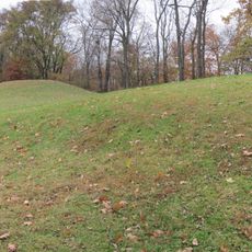
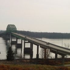
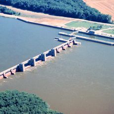
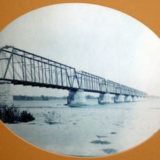
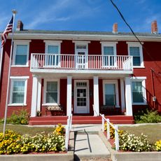
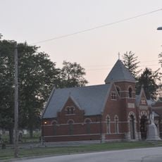
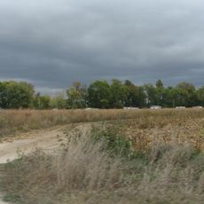
Louisa County is a county in eastern Iowa, along the western bank of the Mississippi River. The land includes riverbank areas, wetlands, and farmland, giving the area a mix of water and open countryside.

Louisa County was established in 1836 as part of the Wisconsin Territory, then reassigned to the Iowa Territory when it was created in 1838. The area developed quickly as settlers moved west along the Mississippi corridor.

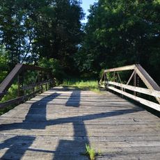
The Port Louisa National Wildlife Refuge sits along the Mississippi and draws birdwatchers and nature lovers from across the region. During spring and fall, large flocks of migrating birds stop there, making it one of the most visited spots in the county.

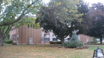
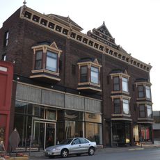
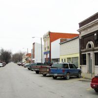
Wapello is the county seat and home to the main courthouse, where most official business is handled. The county covers a wide area, so having a car is the most practical way to move between towns and natural areas.

The county's name may come from Louisa Massey, a woman said to have defended her brother in a frontier dispute, or it may simply echo the name of a county in Virginia. No historical record settles the question, so both stories remain alive.

The community of curious travelers

AroundUs brings together thousands of curated places, local tips, and hidden gems, enriched daily by 60,000 contributors worldwide.

Start exploring
Location
Inception
1836
Capital city
Wapello
Shares border with
Muscatine County, Des Moines County, Johnson County, Washington County, Henry County, Rock Island County, Mercer County
GPS coordinates
41.21806,-91.26000
Latest update
March 3, 2026 08:19
Around this place
Toolesboro Mound Group
United States of America

Toolesboro Mound Group

19.2 km
Norbert F. Beckey Bridge
United States of America

Norbert F. Beckey Bridge

29.6 km
Lock and Dam No. 17
United States of America

Lock and Dam No. 17

17 km
Keithsburg Rail Bridge
United States of America

Keithsburg Rail Bridge

28.7 km
Alexander Clark House
United States of America

Alexander Clark House

28.7 km
Trinity Episcopal Church
United States of America

Trinity Episcopal Church

29.3 km
Muscatine County Courthouse
United States of America

Muscatine County Courthouse

29.3 km
Pliny and Adelia Fay House
United States of America

Pliny and Adelia Fay House

28.3 km
Louisa County Courthouse
United States of America

Louisa County Courthouse

7.6 km
Gipple's Quarry Bridge
United States of America

Gipple's Quarry Bridge

12.5 km
Clark-Blackwell House
United States of America

Clark-Blackwell House

28.1 km
First Presbyterian Church
United States of America

First Presbyterian Church

28.9 km
Hotel Wapello
United States of America

Hotel Wapello

7.4 km
Levi Willits House
United States of America

Levi Willits House

22.5 km
Bethel Church
United States of America

Bethel Church

13.5 km
Community Building
United States of America

Community Building

10.6 km
West Hill Historic District
United States of America

West Hill Historic District

28.4 km
Downtown Commercial Historic District
United States of America

Downtown Commercial Historic District

29 km
Greenwood Cemetery Chapel
United States of America

Greenwood Cemetery Chapel

27.8 km
County Line Bridge
United States of America

County Line Bridge

19.6 km
Welch Apartments
United States of America

Welch Apartments

28.9 km
James S. Thompson House
United States of America

James S. Thompson House

22.6 km
J. C. B. Warde House
United States of America

J. C. B. Warde House

28.2 km
Florence-Council On The Iowa Site
United States of America

Florence-Council On The Iowa Site

17.2 km
Muscatine County Home Dairy Barn
United States of America

Muscatine County Home Dairy Barn

28.1 km
S. M. McKibben House
United States of America

S. M. McKibben House

29.1 km
Gideon Ives House
United States of America

Gideon Ives House

22.9 km
Pearl Bottom Museum
United States of America

Pearl Bottom Museum

28.8 km
Show the full map
Reviews
Share your experience

No review yet

Discussions
Start a discussion...

No discussion yet

Administrative divisions
« Louisa County - County division in eastern Iowa, United States » is provided by Around Us (aroundus.com). Images and texts are derived from Wikimedia project under a Creative Commons license. You are allowed to copy, distribute, and modify copies of this page, under the conditions set by the license, as long as this note is clearly visible.

Discover hidden gems everywhere you go!

From secret cafés to breathtaking viewpoints, skip the crowded tourist spots and find places that match your style. Our app makes it easy with voice search, smart filtering, route optimization, and insider tips from travelers worldwide. Download now for the complete mobile experience.

Around Us App Screenshot

A unique approach to discovering new places

Le Figaro

All the places worth exploring

France Info

A tailor-made excursion in just a few clicks

20 Minutes

Around Us
Travel Guide & Maps
Download

Send to your phone

QR Code
1

Open the camera app on your mobile.

2

Point at the QR code with your camera. A notification will appear.

3

Tap the notification to open the link.