Enable Location

We need your location to show you interesting places around you

Discover nearby places

Find interesting locations and hidden gems around you

Precise directions

Get accurate directions and distances to places

Your location is never shared with other users. It's only used when you tap the location button.

Fillmore County

Log in to your account

Start exploring — it's free

Trusted by 61,491 travelers worldwide

Continue with Google
Continue with Apple
or

We will send you a code to connect

By continuing, you accept our Terms and Conditions and our Privacy Policy

Check your inbox

We've sent a pincode in your inbox. Please enter the code below.

Fillmore County, Administrative county in southeastern Minnesota, United States.

Description

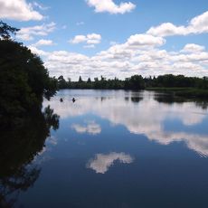
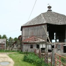
Fillmore County is an administrative county in southeastern Minnesota with rolling hills, farmland, and the Root River flowing through it from west to east. The region extends across several thousand acres with waterways that define the landscape and support both agriculture and natural habitats.

History

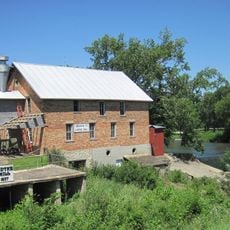
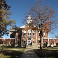
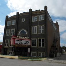
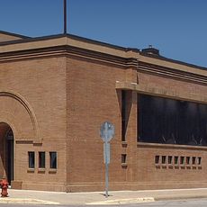
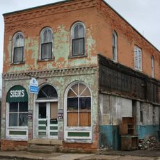
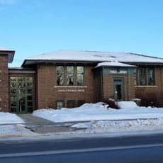
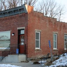
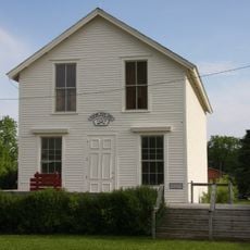
The county was established in 1853 and grew rapidly through Norwegian immigration, becoming Minnesota's most populous county by the 1860s. This period shaped the development of trading and transportation hubs throughout the area.

Culture

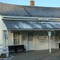
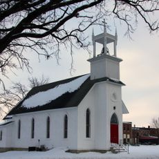
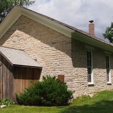
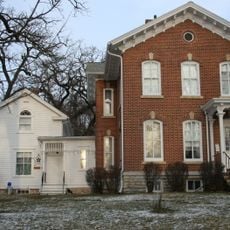
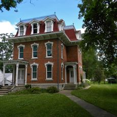
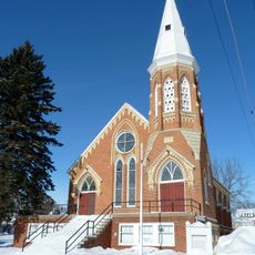
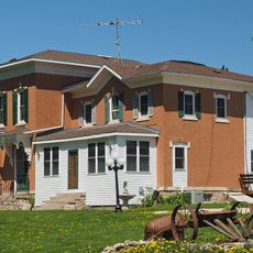
Norwegian settlers shaped the character of communities throughout the region, and their heritage remains visible in local traditions and the way people live together today.

Practical

The region is connected by highways and state routes that provide multiple ways to explore the area and reach different towns. Visitors can access parks and natural areas through a network of roads suitable for driving.

Did you know?

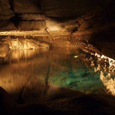
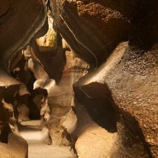
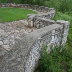
Beneath the rolling hills lie underground limestone passages and caves that visitors can explore, with areas dedicated to scientific research and study. This hidden geology sets the region apart from the surrounding landscape.

Location
Inception
March 5, 1853
Capital city
Preston
Shares border with
Winona County, Howard County, Olmsted County, Winneshiek County, Mower County, Houston County
GPS coordinates
43.68000,-92.09000
Latest update
December 7, 2025 20:20

AroundUs brings together thousands of curated places, local tips, and hidden gems, enriched daily by 60,000 contributors worldwide. Discover all places nearby (Minnesota).

Around this place
Forestville/Mystery Cave State Park
United States of America

Forestville/Mystery Cave State Park

10.8 km
Forestville
United States of America

Forestville

8.3 km
Niagara Cave
United States of America

Niagara Cave

18.7 km
Lake Louise State Park
United States of America

Lake Louise State Park

38.7 km
Burr Oak House/Masters Hotel
United States of America

Burr Oak House/Masters Hotel

30.7 km
Lidtke Mill
United States of America

Lidtke Mill

28.4 km
Howard County Courthouse
United States of America

Howard County Courthouse

34.1 km
Trinity Episcopal Church
United States of America

Trinity Episcopal Church

32.3 km
Cresco Opera House
United States of America

Cresco Opera House

34.2 km
Lenora Methodist Episcopal Church
United States of America

Lenora Methodist Episcopal Church

20.6 km
George Haven House
United States of America

George Haven House

20.1 km
Kellow House
United States of America

Kellow House

34 km
First State Bank of Le Roy
United States of America

First State Bank of Le Roy

38.3 km
Kinney Octagon Barn
United States of America

Kinney Octagon Barn

29.2 km
Spring Valley Methodist Episcopal Church
United States of America

Spring Valley Methodist Episcopal Church

24.4 km
Ellen Lovell House
United States of America

Ellen Lovell House

20.1 km
Preston Overlook
United States of America

Preston Overlook

1.5 km
Spring Grove Public Library
United States of America

Spring Grove Public Library

38.7 km
Pietenpol Workshop and Garage
United States of America

Pietenpol Workshop and Garage

19 km
St. Charles City Bakery
United States of America

St. Charles City Bakery

32.7 km
Chatfield Public Library
United States of America

Chatfield Public Library

19.9 km
LeRoy Public Library
United States of America

LeRoy Public Library

38.3 km
Benjamin Ellsworth House
United States of America

Benjamin Ellsworth House

34.9 km
South Ward School
United States of America

South Ward School

34.9 km
Burr Oak Savings Bank
United States of America

Burr Oak Savings Bank

30.6 km
Pleasant Grove Masonic Lodge
United States of America

Pleasant Grove Masonic Lodge

31.7 km
Medical Pioneers of Minnesota Historical Marker
United States of America

Medical Pioneers of Minnesota Historical Marker

34.5 km
Lake Louise
United States of America

Lake Louise

38.7 km
Show the full map
« Fillmore County - Administrative county in southeastern Minnesota, United States » is provided by Around Us (aroundus.com). Images and texts are derived from Wikimedia project under a Creative Commons license. You are allowed to copy, distribute, and modify copies of this page, under the conditions set by the license, as long as this note is clearly visible.

Discover hidden gems everywhere you go!

From secret cafés to breathtaking viewpoints, skip the crowded tourist spots and find places that match your style. Our app makes it easy with voice search, smart filtering, route optimization, and insider tips from travelers worldwide. Download now for the complete mobile experience.

Around Us App Screenshot

A unique approach to discovering new places

Le Figaro

All the places worth exploring

France Info

A tailor-made excursion in just a few clicks

20 Minutes

Around Us
Travel Guide & Maps
Download

Send to your phone

QR Code
1

Open the camera app on your mobile.

2

Point at the QR code with your camera. A notification will appear.

3

Tap the notification to open the link.