Enable Location

We need your location to show you interesting places around you

Discover nearby places

Find interesting locations and hidden gems around you

Precise directions

Get accurate directions and distances to places

Your location is never shared with other users. It's only used when you tap the location button.

Jackson County

Log in to your account

Start exploring — it's free

Trusted by 61,881 travelers worldwide

Continue with Google
Continue with Apple
or

We will send you a code to connect

By continuing, you accept our Terms and Conditions and our Privacy Policy

Check your inbox

We've sent a pincode in your inbox. Please enter the code below.

Jackson County, Administrative division in southern Minnesota, United States

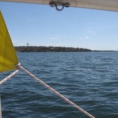
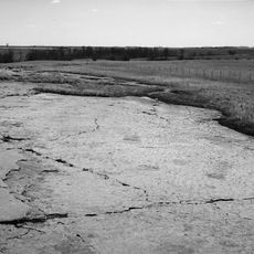
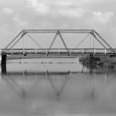
Jackson County is an administrative division in southern Minnesota covering approximately 720 square miles (1,860 square kilometers). The Des Moines River flows through the landscape, which consists of lakes, agricultural fields, and open green areas.

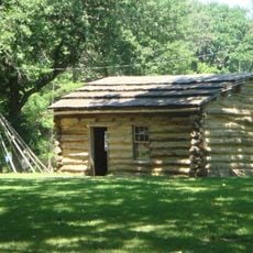
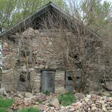
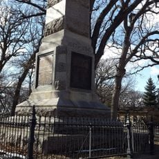
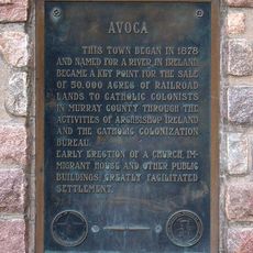
The county was created in 1857 and named after Henry Jackson, an early merchant in Saint Paul. Its founding marked the beginning of organized settlement and agricultural development in the region.

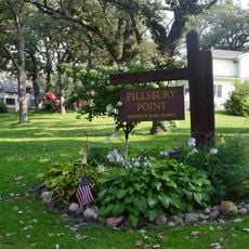
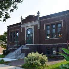
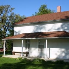
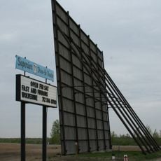
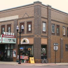
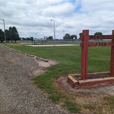
The county is home to community centers and parks that bring residents and visitors together throughout the year. These gathering spaces reflect how people spend their time and stay connected to one another.

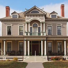
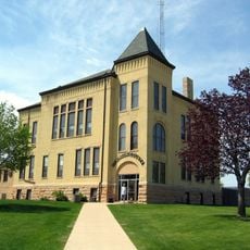
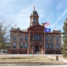
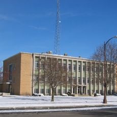
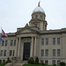
Jackson serves as the county seat and main hub for government services and administration. Interstate 90 and Highway 71 are the primary routes that connect the area to surrounding regions.

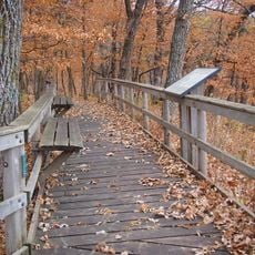
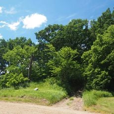
Kilen Woods State Park protects important forest land and wildlife habitats across the region. This conservation area offers visitors a chance to experience the local natural environment.

The community of curious travelers

AroundUs brings together thousands of curated places, local tips, and hidden gems, enriched daily by 60,000 contributors worldwide.

Start exploring
Location
Inception
May 23, 1857
Capital city
Jackson
Elevation above the sea
458 m
Shares border with
Cottonwood County, Dickinson County, Osceola County, Emmet County, Martin County, Watonwan County, Nobles County
GPS coordinates
43.68000,-95.16000
Latest update
December 10, 2025 15:54
Around this place
West Okoboji Lake
United States of America

West Okoboji Lake

32.9 km
United States of America

Spirit Lake Massacre

29.3 km
Jeffers Petroglyphs
United States of America

Jeffers Petroglyphs

46.6 km
Kilen Woods State Park
United States of America

Kilen Woods State Park

9.4 km
United States of America

Gull Point State Park

34.4 km
Pillsbury Point State Park
United States of America

Pillsbury Point State Park

34.9 km
Spirit Lake Massacre Log Cabin
United States of America

Spirit Lake Massacre Log Cabin

35 km
George D. Dayton House
United States of America

George D. Dayton House

35.5 km
Dickinson County Courthouse
United States of America

Dickinson County Courthouse

29.1 km
Grand Opera House
United States of America

Grand Opera House

54.2 km
Cottonwood County Courthouse
United States of America

Cottonwood County Courthouse

21 km
Mountain Lake Site
United States of America

Mountain Lake Site

27.8 km
Emmet County Courthouse
United States of America

Emmet County Courthouse

40.4 km
Isaac Bargen House
United States of America

Isaac Bargen House

34 km
Ellsworth Ranch Bridge
United States of America

Ellsworth Ranch Bridge

52.8 km
Old Spirit Lake Public Library
United States of America

Old Spirit Lake Public Library

29.1 km
Kansas Lake Evangelical Lutheran Church
United States of America

Kansas Lake Evangelical Lutheran Church

43.1 km
Sacred Heart Catholic Church
United States of America

Sacred Heart Catholic Church

18 km
Gerome Clark House
United States of America

Gerome Clark House

39.6 km
Brugjeld-Peterson Family Farmstead District
United States of America

Brugjeld-Peterson Family Farmstead District

55.9 km
Estherville
United States of America

Estherville

39.4 km
Pearson Lakes Art Center
United States of America

Pearson Lakes Art Center

31.8 km
Abbie Gardner Cabin
United States of America

Abbie Gardner Cabin

35 km
Superior 71 Drive-In
United States of America

Superior 71 Drive-In

30.6 km
Jackson County Courthouse
United States of America

Jackson County Courthouse

15.2 km
Avoca Historical Marker
United States of America

Avoca Historical Marker

48.9 km
State Theatre
United States of America

State Theatre

15.3 km
Memorial Park
United States of America

Memorial Park

38.7 km
Show the full map
« Jackson County - Administrative division in southern Minnesota, United States » is provided by Around Us (aroundus.com). Images and texts are derived from Wikimedia project under a Creative Commons license. You are allowed to copy, distribute, and modify copies of this page, under the conditions set by the license, as long as this note is clearly visible.

Discover hidden gems everywhere you go!

From secret cafés to breathtaking viewpoints, skip the crowded tourist spots and find places that match your style. Our app makes it easy with voice search, smart filtering, route optimization, and insider tips from travelers worldwide. Download now for the complete mobile experience.

Around Us App Screenshot

A unique approach to discovering new places

Le Figaro

All the places worth exploring

France Info

A tailor-made excursion in just a few clicks

20 Minutes

Around Us
Travel Guide & Maps
Download

Send to your phone

QR Code
1

Open the camera app on your mobile.

2

Point at the QR code with your camera. A notification will appear.

3

Tap the notification to open the link.