Enable Location

We need your location to show you interesting places around you

Discover nearby places

Find interesting locations and hidden gems around you

Precise directions

Get accurate directions and distances to places

Your location is never shared with other users. It's only used when you tap the location button.

Emmet County

Log in to your account

Start exploring — it's free

Trusted by 61,981 travelers worldwide

Continue with Google
Continue with Apple
or

We will send you a code to connect

By continuing, you accept our Terms and Conditions and our Privacy Policy

Check your inbox

We've sent a pincode in your inbox. Please enter the code below.

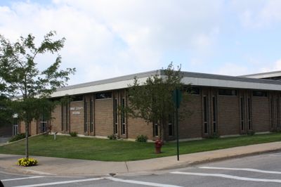
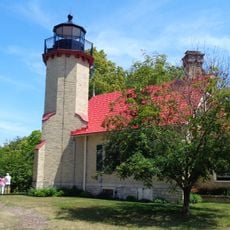
Emmet County, County administrative division in Northern Michigan, United States

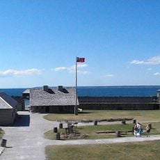
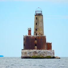
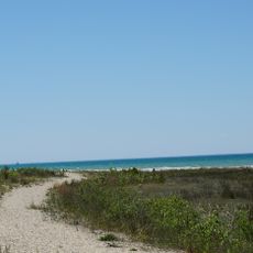
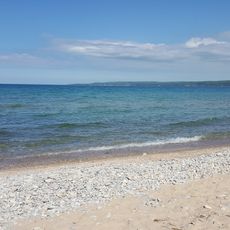
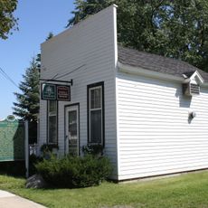
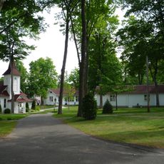
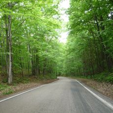
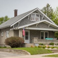
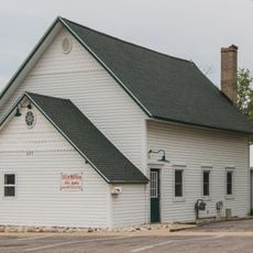
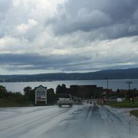
Emmet County is an administrative division in northern Michigan that stretches across land and water, shaped by its location near the Great Lakes. The region contains several towns and communities connected by roads and waterways.

The area was established in 1840 with a different name and was renamed in 1843 to honor an Irish patriot. This change reflects the influence of Irish settlers who came to the region during that era.

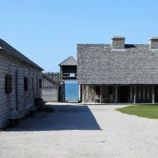
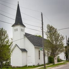
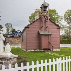
The Little Traverse Bay Bands of Odawa Indians remain deeply rooted here, and their presence shapes how the community connects with the land and its heritage. You can see this in local gatherings, traditional crafts, and the way people speak about the region's history.

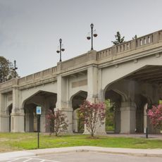
A regional airport serves the area with connections to larger cities, and two main highways run through the region linking its towns. Plan on driving to get around, as communities are spread out across the county.

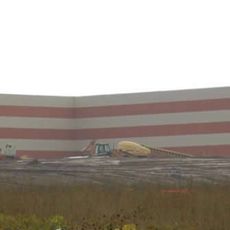
The region is home to manufacturing plants and aerospace technology centers, along with the headquarters of a well-known chocolate maker located in Petoskey. This mix of industries shows how the area has developed in unexpected ways.

The community of curious travelers

AroundUs brings together thousands of curated places, local tips, and hidden gems, enriched daily by 60,000 contributors worldwide.

Start exploring
Location
Inception
April 1, 1840
Capital city
Petoskey
Shares border with
Mackinac County, Cheboygan County, Charlevoix County
GPS coordinates
45.58000,-84.98000
Latest update
December 7, 2025 10:08
Around this place
Fort Michilimackinac
United States of America

Fort Michilimackinac

29.8 km
Ernest Hemingway Cottage
United States of America

Ernest Hemingway Cottage

33.4 km
Waugoshance Light
United States of America

Waugoshance Light

24.7 km
Wilderness State Park
United States of America

Wilderness State Park

18.2 km
Fort Michilimackinac State Park
United States of America

Fort Michilimackinac State Park

29.9 km
Petoskey State Park
United States of America

Petoskey State Park

20.5 km
Odawa Casino Resort
United States of America

Odawa Casino Resort

25.3 km
The Headlands
United States of America

The Headlands

27.3 km
McGulpin Point Light
United States of America

McGulpin Point Light

28.1 km
Ile Aux Galets
United States of America

Ile Aux Galets

18.4 km
Grays Reef Light Station
United States of America

Grays Reef Light Station

24.7 km
Little Traverse Light
United States of America

Little Traverse Light

17.9 km
Chief Andrew J. Blackbird House
United States of America

Chief Andrew J. Blackbird House

16.7 km
Bay View
United States of America

Bay View

22 km
Seventh Day Adventist Church
United States of America

Seventh Day Adventist Church

23.2 km
John Nyman House
United States of America

John Nyman House

23.6 km
Zion Evangelical Lutheran Church
United States of America

Zion Evangelical Lutheran Church

23.5 km
J. M. Wells House
United States of America

J. M. Wells House

22.9 km
Tunnel of Trees
United States of America

Tunnel of Trees

12.3 km
West Mitchell Street Bridge
United States of America

West Mitchell Street Bridge

23 km
Petoskey Downtown Historic District
United States of America

Petoskey Downtown Historic District

22.9 km
St. Francis Solanus Mission
United States of America

St. Francis Solanus Mission

22.8 km
John Kabler House
United States of America

John Kabler House

23.2 km
Shafer's Grocery and Residence
United States of America

Shafer's Grocery and Residence

23.7 km
George Schantz House and Store
United States of America

George Schantz House and Store

23.2 km
Meyer Fryman House
United States of America

Meyer Fryman House

23.1 km
Jacob Miller House
United States of America

Jacob Miller House

23.3 km
Grace Methodist Episcopal Church
United States of America

Grace Methodist Episcopal Church

23.3 km
Show the full map
Administrative divisions
« Emmet County - County administrative division in Northern Michigan, United States » is provided by Around Us (aroundus.com). Images and texts are derived from Wikimedia project under a Creative Commons license. You are allowed to copy, distribute, and modify copies of this page, under the conditions set by the license, as long as this note is clearly visible.

Discover hidden gems everywhere you go!

From secret cafés to breathtaking viewpoints, skip the crowded tourist spots and find places that match your style. Our app makes it easy with voice search, smart filtering, route optimization, and insider tips from travelers worldwide. Download now for the complete mobile experience.

Around Us App Screenshot

A unique approach to discovering new places

Le Figaro

All the places worth exploring

France Info

A tailor-made excursion in just a few clicks

20 Minutes

Around Us
Travel Guide & Maps
Download

Send to your phone

QR Code
1

Open the camera app on your mobile.

2

Point at the QR code with your camera. A notification will appear.

3

Tap the notification to open the link.