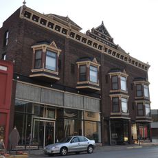
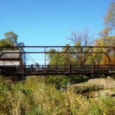
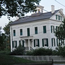
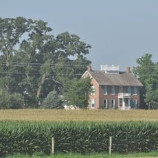
Muscatine County, County seat in eastern Iowa, United States
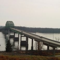
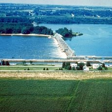
Muscatine County is an administrative division in eastern Iowa that stretches along the Mississippi River and contains both farmland and towns. The area includes several communities, with the city of Muscatine serving as the main urban hub and county seat.
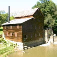
The county was established in 1836 during Iowa's early territorial expansion and served as a gateway for settlement. Its location along the Mississippi River made it a natural hub for trade and later industrial growth.
The name comes from an Indigenous word referring to the people who lived here long before European settlers arrived. Today, the pearl button manufacturing heritage remains central to how locals view their identity and what visitors come to learn about.
The area is accessible through several highways, including U.S. Routes 6 and 61, which connect to neighboring regions. Spring and fall offer the most comfortable conditions for exploring, with moderate temperatures and outdoor activities in mind.
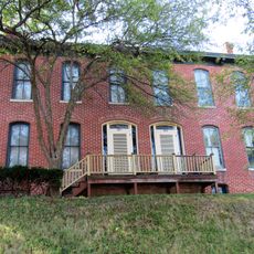
Mark Twain worked as a printer in Muscatine before becoming a famous writer, and later drew on those experiences for his writings about river life. The city and its connection to the Mississippi remain tied to American literary history in unexpected ways.
Location: Iowa
Inception: December 7, 1836
Capital city: Muscatine
Elevation above the sea: 199 m
Shares border with: Cedar County, Louisa County, Scott County, Rock Island County, Johnson County
Website: http://co.muscatine.ia.us
GPS coordinates: 41.48111,-91.11972
Latest update: December 7, 2025 20:45
Wildcat Den State Park
19.9 km
Norbert F. Beckey Bridge
9.7 km
Lock and Dam No. 16
10.9 km
Sinnett Octagon House
8.1 km
Alexander Clark House
8.9 km
Trinity Episcopal Church
9.1 km
Muscatine County Courthouse
9 km
Pliny and Adelia Fay House
9.1 km
Pine Mills German Methodist Episcopal Church
19.9 km
W. Joseph Fuller House
8.2 km
Clark-Blackwell House
9 km
First Presbyterian Church
8.9 km
Big Slough Creek Bridge
19 km
Laura Musser McColm Historic District
7.9 km
Fair Oaks Historic District
9.1 km
Bridge near West Liberty
19.6 km
West Hill Historic District
9 km
Downtown Commercial Historic District
8.9 km
Greenwood Cemetery Chapel
8.2 km
Welch Apartments
9 km
Pine Mill Bridge
21.1 km
J. C. B. Warde House
9.1 km
Samuel Nichols House
13.6 km
St. Mary's Catholic Church
15.8 km
Muscatine County Home Dairy Barn
6 km
George H. and Loretta Ward House
15.9 km
S. M. McKibben House
9.2 km
Beers and St. John Company Coach Inn
21 kmVisited this place? Tap the stars to rate it and share your experience / photos with the community! Try now! You can cancel it anytime.
Discover hidden gems everywhere you go!
From secret cafés to breathtaking viewpoints, skip the crowded tourist spots and find places that match your style. Our app makes it easy with voice search, smart filtering, route optimization, and insider tips from travelers worldwide. Download now for the complete mobile experience.
A unique approach to discovering new places❞
— Le Figaro
All the places worth exploring❞
— France Info
A tailor-made excursion in just a few clicks❞
— 20 Minutes