O'Brien County, Administrative division in Iowa, United States.
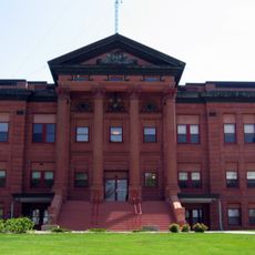
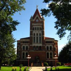
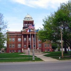
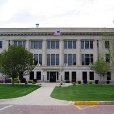
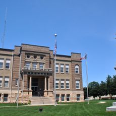
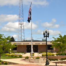
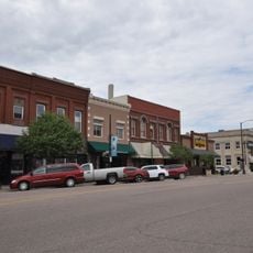
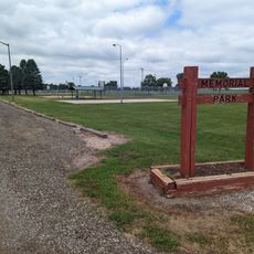
O'Brien County is an administrative division in northwest Iowa with a nearly square shape spanning about 24 miles on each side. Primghar serves as the county seat and handles local government services for the area's residents.
The Iowa State Legislature established the county in 1851, naming it after William Smith O'Brien, an Irish revolutionary. This creation occurred during rapid westward settlement and the formation of new administrative structures across the state.
The name honors an Irish independence leader, reflecting the heritage of settlers who came to build communities here. This Irish connection remains woven into local identity and how residents understand their place.
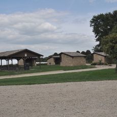
Visitors can access public services and administrative offices in Primghar during standard business hours. The area is accessible by car, and local facilities provide basic services for those passing through or conducting official business.
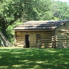
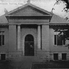
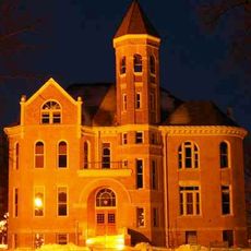
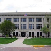
The first courthouse was a simple log structure measuring about 14 by 20 feet, where officials kept documents in their pockets rather than in filing systems. This humble start shows how rapidly local government had to adapt as the region grew.
Location: Iowa
Inception: 1851
Capital city: Primghar
Elevation above the sea: 464 m
Shares border with: Osceola County, Cherokee County, Lyon County, Sioux County, Plymouth County, Dickinson County, Clay County, Buena Vista County
Website: http://obriencounty.com
GPS coordinates: 43.08139,-95.62611
Latest update: December 10, 2025 16:01
West Okoboji Lake
50.7 kmGull Point State Park
49.3 km
First Reformed Church
36.1 km
Pillsbury Point State Park
50.6 km
Spirit Lake Massacre Log Cabin
50.5 km
Indian Village Site
20 km
Carnegie Library
21.5 km
Plymouth County Courthouse
54.4 km
Sioux County Courthouse
36.2 km
Clay County Courthouse
39.5 km
Tonsfeldt Round Barn
53.7 km
O'Brien County Courthouse
594 m
Osceola County Courthouse
37 km
Le Mars Municipal Park and Golf Course Historic District
52.8 km
Cherokee Public Library
37.5 km
Cherokee County Courthouse
37.3 km
Zwemer Hall, Northwestern College
36.4 km
Mill Creek Bridge
34.8 km
Gerome Clark House
53.1 km
Guy M. and Rose Gillette House
37.2 km
Logan Center School No.5
53.3 km
Reeves Farmstead Historic District
52.3 km
Le Mars Downtown Commercial Historic District
54.5 km
Lemuel C. and Mary Boughton House
37.1 km
Roy C. and Lena Seaman House
37.1 km
Pearson Lakes Art Center
53.4 km
Abbie Gardner Cabin
50.5 km
Memorial Park
47.1 kmVisited this place? Tap the stars to rate it and share your experience / photos with the community! Try now! You can cancel it anytime.
Discover hidden gems everywhere you go!
From secret cafés to breathtaking viewpoints, skip the crowded tourist spots and find places that match your style. Our app makes it easy with voice search, smart filtering, route optimization, and insider tips from travelers worldwide. Download now for the complete mobile experience.
A unique approach to discovering new places❞
— Le Figaro
All the places worth exploring❞
— France Info
A tailor-made excursion in just a few clicks❞
— 20 Minutes