Enable Location

We need your location to show you interesting places around you

Discover nearby places

Find interesting locations and hidden gems around you

Precise directions

Get accurate directions and distances to places

Your location is never shared with other users. It's only used when you tap the location button.

Marshall County

Log in to your account

Start exploring — it's free

Trusted by 61,920 travelers worldwide

Continue with Google
Continue with Apple
or

We will send you a code to connect

By continuing, you accept our Terms and Conditions and our Privacy Policy

Check your inbox

We've sent a pincode in your inbox. Please enter the code below.

Marshall County, Administrative division in Illinois, United States

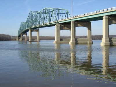
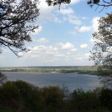
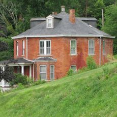
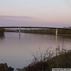
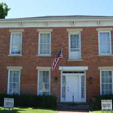
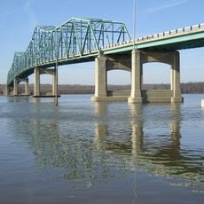
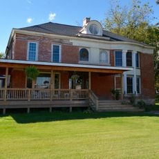
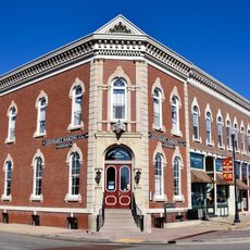
Marshall County is an administrative division in northwestern Mississippi with varied terrain including river bottomlands, forests, and rural communities spread across the region. The area contains several small towns and is shaped by the Mississippi River, which influences its character and connection to surrounding areas.

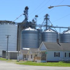
Founded in 1836, the county was named after John Marshall, the Chief Justice of the United States during the early 19th century. The region developed around trade and agriculture, with the Mississippi River shaping its economy and settlement patterns for generations.

The county maintains a population of 33,752 residents according to the 2020 census, with a demographic composition of 48 percent White and 44 percent Black or African American.

Visitors can explore this area best by car, as communities are connected by several highways including US Route 72 and US Route 78 that facilitate travel through the region. Spring and fall offer the most comfortable visiting conditions when weather is mild and the landscape shows its colors.

Marshall County intersects with major transportation routes including Interstate 22, Interstate 269, U.S. Route 72, and U.S. Route 78, facilitating regional connectivity.

The community of curious travelers

AroundUs brings together thousands of curated places, local tips, and hidden gems, enriched daily by 60,000 contributors worldwide.

Start exploring
GPS coordinates
41.03245,-89.29985
Latest update
December 8, 2025 13:41
Around this place
Grandview Drive
United States of America

Grandview Drive

39.4 km
United States of America

Rock Island Trail State Park

38 km
Grace Presbyterian Church
United States of America

Grace Presbyterian Church

40.8 km
United States of America

Marshall State Fish and Wildlife Area

11.9 km
Dixon Waterfowl Refuge
United States of America

Dixon Waterfowl Refuge

21.1 km
United States of America

Woodford State Fish and Wildlife Area

21.6 km
Metamora Courthouse State Historic Site
United States of America

Metamora Courthouse State Historic Site

27.3 km
Robert Waugh House
United States of America

Robert Waugh House

11.8 km
Shippingsport Bridge
United States of America

Shippingsport Bridge

35.9 km
Congregation Anshai Emeth
United States of America

Congregation Anshai Emeth

40.4 km
Adlai E. Stevenson I House
United States of America

Adlai E. Stevenson I House

27.6 km
Lacon Bridge
United States of America

Lacon Bridge

9.8 km
Eureka College Administration Building and Chapel
United States of America

Eureka College Administration Building and Chapel

35.6 km
Putnam County Courthouse
United States of America

Putnam County Courthouse

25.2 km
Peoria Automobile Club
United States of America

Peoria Automobile Club

21.5 km
Cortland Condit House
United States of America

Cortland Condit House

18.4 km
Clear Creek Meeting House
United States of America

Clear Creek Meeting House

16.3 km
Forest Park Nature Center
United States of America

Forest Park Nature Center

38.7 km
Stevens House
United States of America

Stevens House

33.7 km
Benson Water Tower
United States of America

Benson Water Tower

25.2 km
Cemetery Road Bridge
United States of America

Cemetery Road Bridge

38.5 km
Edward Pulsifer House
United States of America

Edward Pulsifer House

25.3 km
Denhart Bank Building
United States of America

Denhart Bank Building

37.7 km
Dement-Zinser House
United States of America

Dement-Zinser House

37.6 km
Washington C. Wear House
United States of America

Washington C. Wear House

41.2 km
Joseph Schertz House
United States of America

Joseph Schertz House

29.7 km
Colonel George H. Paddock House
United States of America

Colonel George H. Paddock House

39.6 km
Town Theatre
United States of America

Town Theatre

20.2 km
Show the full map
« Marshall County - Administrative division in Illinois, United States » is provided by Around Us (aroundus.com). Images and texts are derived from Wikimedia project under a Creative Commons license. You are allowed to copy, distribute, and modify copies of this page, under the conditions set by the license, as long as this note is clearly visible.

Discover hidden gems everywhere you go!

From secret cafés to breathtaking viewpoints, skip the crowded tourist spots and find places that match your style. Our app makes it easy with voice search, smart filtering, route optimization, and insider tips from travelers worldwide. Download now for the complete mobile experience.

Around Us App Screenshot

A unique approach to discovering new places

Le Figaro

All the places worth exploring

France Info

A tailor-made excursion in just a few clicks

20 Minutes

Around Us
Travel Guide & Maps
Download

Send to your phone

QR Code
1

Open the camera app on your mobile.

2

Point at the QR code with your camera. A notification will appear.

3

Tap the notification to open the link.