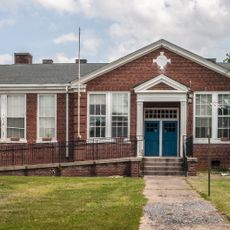
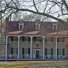
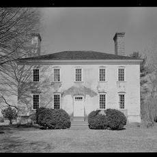
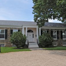
Fauquier County, Administrative division in Northern Virginia, United States
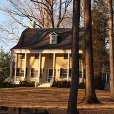
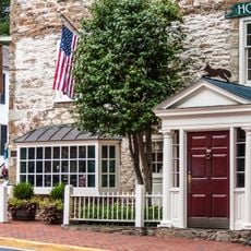
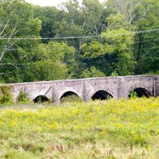
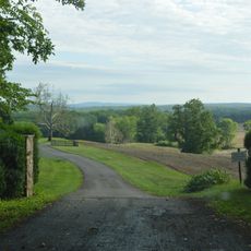
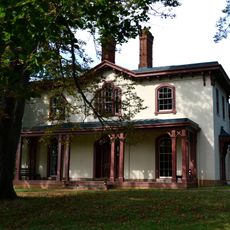
Fauquier County spreads across hilly terrain connecting the Rappahannock River with proximity to the Washington metropolitan area. The landscape features farmland, villages, and winding roads that follow the natural contours of the rolling hills.
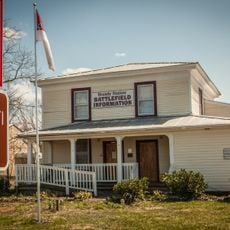
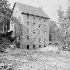
The area was established in 1759 and named after Francis Fauquier, a Lieutenant Governor during the colonial period. This early formation made it a key settlement zone in northern Virginia as the region developed.
Horse farms and vineyards remain central to daily life here, reflecting farming traditions that have shaped the region for generations. These agricultural landscapes define how the area looks and functions for both residents and visitors.
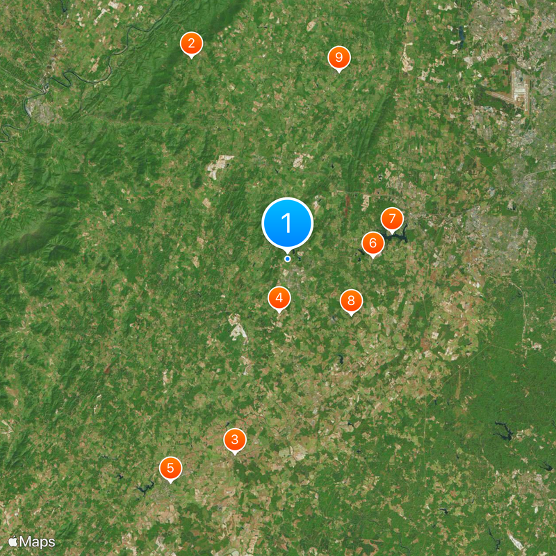
Interstate 66 and several US Routes connect the area to major regional destinations, making travel straightforward from most locations. Plan to explore by car since the terrain spreads widely and towns are separated by farmland.
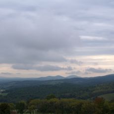
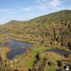
Blue Mountain rises to the highest elevation in northern Virginia, standing noticeably above the surrounding landscape. Reaching this peak provides a different perspective than what most travelers expect from the area.
The community of curious travelers
AroundUs brings together thousands of curated places, local tips, and hidden gems, enriched daily by 60,000 contributors worldwide.