Sky Meadows State Park

Log in to your account

AroundUs is a community-driven map of interesting places, built by curious explorers like you. It grows with every review, story, and photo you share.
Connect to save your favorite spots, contribute locations, and create personalized routes.
Continue with Google
Continue with Apple
Continue with X
Continue with Facebook
Continue with email
By continuing, you accept our Terms and Conditions and our Privacy Policy
Create an account
Add to collection
Map
Suggest a change
Share

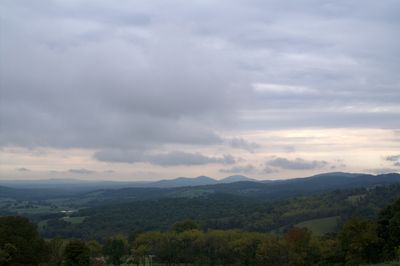
Sky Meadows State Park, State park in Crooked Run Valley, Virginia.

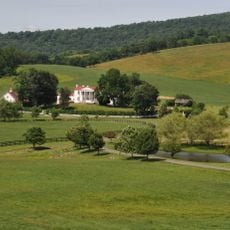
Sky Meadows State Park is a nature reserve in Crooked Run Valley with rolling pastures, woodland, and mountain terrain in the eastern Blue Ridge area. The grounds include hiking and riding trails that wind through the landscape, along with basic camping spots.

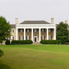
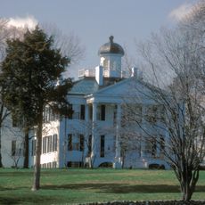
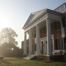
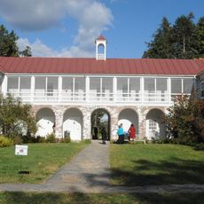
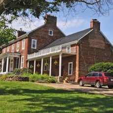
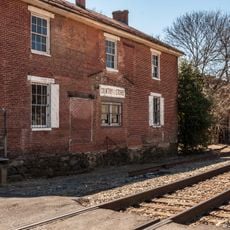
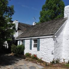
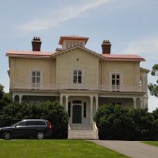
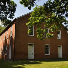
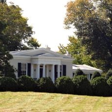
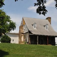
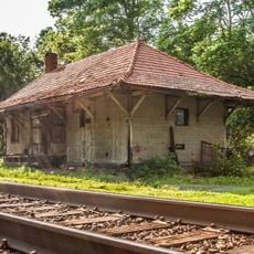
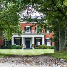
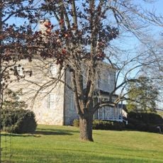
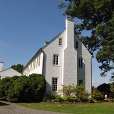
The land was originally sold by Lord Fairfax to James Ball in 1731 and passed through several owners before becoming a state park in 1975. The historic buildings date from 19th-century farming times and show how the land's use changed over time.

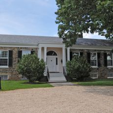
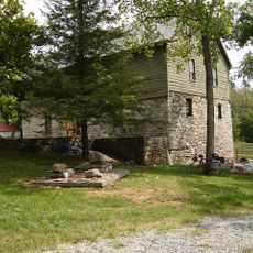
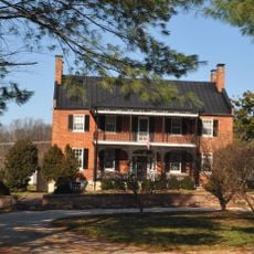
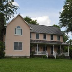
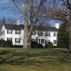
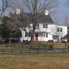
The Mount Bleak House complex shows how people lived and farmed here in the 19th century, with the main house, log cabin, wash house, and ice house all still standing. These buildings tell you about the daily work and routines of the farmers who shaped this place.

The park is open most days and has trails for different skill levels, from easy to more challenging routes. If you plan to camp, know that sites are basic and you should allow time to explore the grounds thoroughly.

The grounds hold International Dark Sky Park status, making it possible to see the night sky as few places allow. Regular stargazing programs let visitors look through telescopes when conditions are right.

Location: Virginia

Inception: 1975

Architectural style: Federal architecture

Operator: Virginia Department of Conservation and Recreation

Address: Edmonds Lane

Opening Hours: 0800-dusk

Phone: +(540)5923556

Website: https://dcr.virginia.gov/state-parks/sky-meadows

GPS coordinates: 38.98470,-77.95860

Latest update: December 7, 2025 20:45

Photos
Around this place
Carter Hall
United States of America

Carter Hall

11.7 km
The Tuleyries
United States of America

The Tuleyries

13.9 km
Long Branch
United States of America

Long Branch

10.6 km
Blue Ridge Farm
United States of America

Blue Ridge Farm

7.3 km
Goose Creek Stone Bridge
United States of America

Goose Creek Stone Bridge

12.1 km
Burwell-Morgan Mill
United States of America

Burwell-Morgan Mill

11.7 km
Rose Hill Farm
United States of America

Rose Hill Farm

11.1 km
Blandy Experimental Farm Historic District
United States of America

Blandy Experimental Farm Historic District

12.4 km
Scaleby
United States of America

Scaleby

14.2 km
Belle Grove
United States of America

Belle Grove

595 m
Delaplane Historic District
United States of America

Delaplane Historic District

8.4 km
Rectortown Historic District
United States of America

Rectortown Historic District

11.1 km
Oakley
United States of America

Oakley

8.2 km
John Marshall's Leeds Manor Rural Historic District
United States of America

John Marshall's Leeds Manor Rural Historic District

10.4 km
Cleremont Farm
United States of America

Cleremont Farm

10.7 km
Crooked Run Valley Rural Historic District
United States of America

Crooked Run Valley Rural Historic District

3 km
Bethel Memorial Church
United States of America

Bethel Memorial Church

9.1 km
Ashleigh
United States of America

Ashleigh

9.8 km
Yew Hill-Robert Ashby's Tavern-Shacklett's Tavern
United States of America

Yew Hill-Robert Ashby's Tavern-Shacklett's Tavern

9.5 km
Markham Historic District
United States of America

Markham Historic District

9.4 km
Green Garden
United States of America

Green Garden

8.5 km
Mount Zion
United States of America

Mount Zion

12.6 km
Rock Hill Farm
United States of America

Rock Hill Farm

13.1 km
Upperville Historic District
United States of America

Upperville Historic District

6.7 km
Millwood Commercial Historic District
United States of America

Millwood Commercial Historic District

11.9 km
Woodside
United States of America

Woodside

10.3 km
Greenway Historic District
United States of America

Greenway Historic District

11.1 km
Cromwell's Run Rural Historic District
United States of America

Cromwell's Run Rural Historic District

3 km
Show the full map
Reviews

Visited this place? Tap the stars to rate it and share your experience / photos with the community! Try now! You can cancel it anytime.

« Sky Meadows State Park - State park in Crooked Run Valley, Virginia » is provided by Around Us (aroundus.com). Images and texts are derived from Wikimedia project under a Creative Commons license. You are allowed to copy, distribute, and modify copies of this page, under the conditions set by the license, as long as this note is clearly visible.

Discover hidden gems everywhere you go!

From secret cafés to breathtaking viewpoints, skip the crowded tourist spots and find places that match your style. Our app makes it easy with voice search, smart filtering, route optimization, and insider tips from travelers worldwide. Download now for the complete mobile experience.

Around Us App Screenshot

A unique approach to discovering new places

Le Figaro

All the places worth exploring

France Info

A tailor-made excursion in just a few clicks

20 Minutes