Enable Location

We need your location to show you interesting places around you

Discover nearby places

Find interesting locations and hidden gems around you

Precise directions

Get accurate directions and distances to places

Your location is never shared with other users. It's only used when you tap the location button.

John Marshall's Leeds Manor Rural Historic District

Log in to your account

Start exploring — it's free

Trusted by 62,464 travelers worldwide

Continue with Google
Continue with Apple
or

We will send you a code to connect

By continuing, you accept our Terms and Conditions and our Privacy Policy

Check your inbox

We've sent a pincode in your inbox. Please enter the code below.

John Marshall's Leeds Manor Rural Historic District, historic district in Virginia, United States

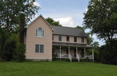
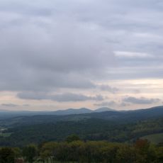
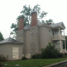
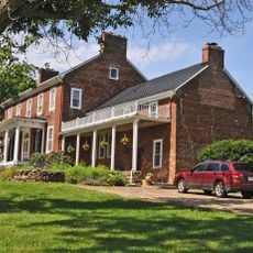
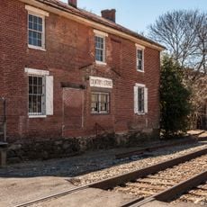
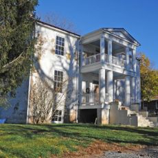
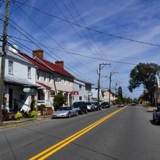
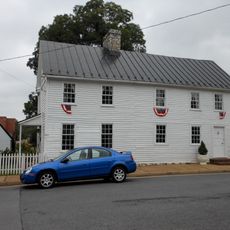
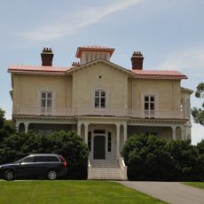
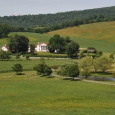
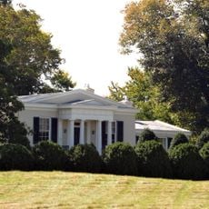
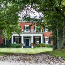
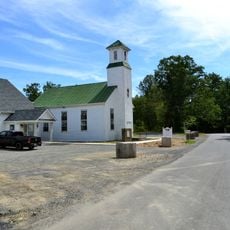
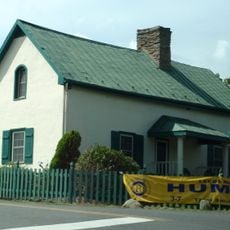
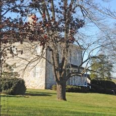
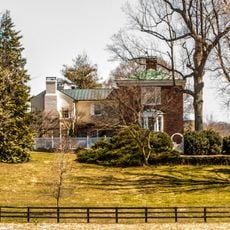
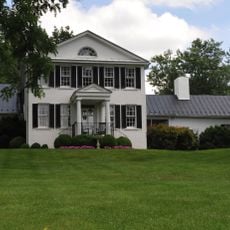
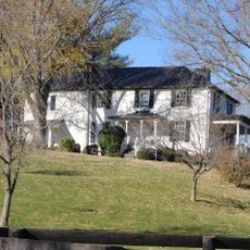
John Marshall's Leeds Manor Rural Historic District is a rural area of farms and historic buildings in northwestern Fauquier County. The landscape consists of wide open fields, working farms, and older houses spread across more than 23,000 acres.

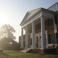
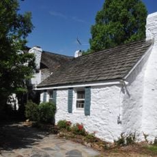
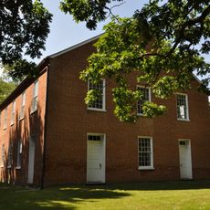
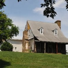
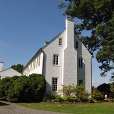
The area was linked to Chief Justice John Marshall in the late 1700s, when he purchased land and established himself here. His original home, called The Hollow, displays simple early building styles from that period.

The district's name comes from the 18th-century Manor of Leeds, which was part of Lord Fairfax's land holdings. Today, families who have farmed here for generations shape the place's character and connection to the land.

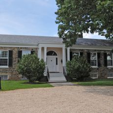
Most properties are private homes and not all are open for visits, though you can often see historic farms and estates from nearby roads. Always respect the privacy of landowners when exploring the district.

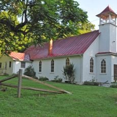
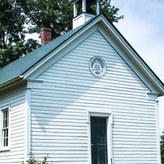
The district contains several communities founded by African Americans in the late 1800s, whose stories are often overlooked. These neighborhoods show how different groups contributed to the area's rural life.

The community of curious travelers

AroundUs brings together thousands of curated places, local tips, and hidden gems, enriched daily by 60,000 contributors worldwide.

Start exploring
Location
GPS coordinates
38.89720,-77.99920
Latest update
February 9, 2026 07:44
Around this place
Sky Meadows State Park
United States of America

Sky Meadows State Park

10.4 km
Long Branch
United States of America

Long Branch

16.9 km
Blue Ridge Farm
United States of America

Blue Ridge Farm

12.8 km
Fairview Farm
United States of America

Fairview Farm

15.8 km
Belle Grove
United States of America

Belle Grove

10.1 km
Delaplane Historic District
United States of America

Delaplane Historic District

7.2 km
Mountain House
United States of America

Mountain House

12.9 km
Rectortown Historic District
United States of America

Rectortown Historic District

12.3 km
Front Royal Historic District
United States of America

Front Royal Historic District

16.8 km
Marshall Historic District
United States of America

Marshall Historic District

13 km
Balthis House
United States of America

Balthis House

16.8 km
Ashville Historic District
United States of America

Ashville Historic District

11.5 km
Oakley
United States of America

Oakley

14.7 km
Number 18 School in Marshall
United States of America

Number 18 School in Marshall

14.9 km
Crooked Run Valley Rural Historic District
United States of America

Crooked Run Valley Rural Historic District

8.9 km
Bethel Memorial Church
United States of America

Bethel Memorial Church

15.2 km
Ashleigh
United States of America

Ashleigh

7 km
Yew Hill-Robert Ashby's Tavern-Shacklett's Tavern
United States of America

Yew Hill-Robert Ashby's Tavern-Shacklett's Tavern

6.5 km
Markham Historic District
United States of America

Markham Historic District

965 m
Green Garden
United States of America

Green Garden

16.4 km
Morgantown Historic District
United States of America

Morgantown Historic District

12.4 km
Hume Historic District
United States of America

Hume Historic District

7.3 km
Mount Zion
United States of America

Mount Zion

14.5 km
Upperville Historic District
United States of America

Upperville Historic District

14.6 km
Woodside
United States of America

Woodside

8.5 km
Cromwell's Run Rural Historic District
United States of America

Cromwell's Run Rural Historic District

8.9 km
Morven
United States of America

Morven

2.8 km
Rockland Rural Historic District
United States of America

Rockland Rural Historic District

16.1 km
Show the full map
« John Marshall's Leeds Manor Rural Historic District - historic district in Virginia, United States » is provided by Around Us (aroundus.com). Images and texts are derived from Wikimedia project under a Creative Commons license. You are allowed to copy, distribute, and modify copies of this page, under the conditions set by the license, as long as this note is clearly visible.

Discover hidden gems everywhere you go!

From secret cafés to breathtaking viewpoints, skip the crowded tourist spots and find places that match your style. Our app makes it easy with voice search, smart filtering, route optimization, and insider tips from travelers worldwide. Download now for the complete mobile experience.

Around Us App Screenshot

A unique approach to discovering new places

Le Figaro

All the places worth exploring

France Info

A tailor-made excursion in just a few clicks

20 Minutes

Around Us
Travel Guide & Maps
Download

Send to your phone

QR Code
1

Open the camera app on your mobile.

2

Point at the QR code with your camera. A notification will appear.

3

Tap the notification to open the link.