Clay County

Log in to your account

AroundUs is a community-driven map of interesting places, built by curious explorers like you. It grows with every review, story, and photo you share.
Connect to save your favorite spots, contribute locations, and create personalized routes.
By continuing, you accept our Terms and Conditions and our Privacy Policy
Add to collection
Map
Suggest a change
Share

Clay County, Administrative county in southeastern Kentucky, United States
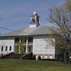
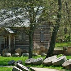
Clay County spans 471 square miles of mountainous terrain with Manchester as its capital, featuring numerous streams and natural limestone formations.

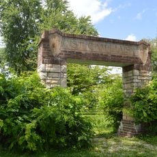
The county was established on December 2, 1806, from portions of Floyd, Knox, and Madison counties, named after Green Clay, a Kentucky legislator.

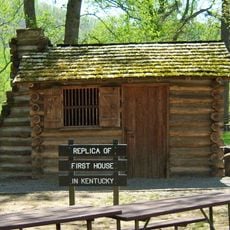
The county maintains Appalachian traditions through local festivals where residents showcase mountain music, traditional crafts, and regional storytelling techniques.
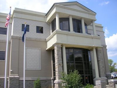
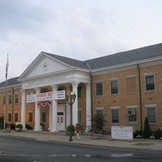
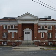
Manchester, the county seat, provides governmental services and houses the main medical facilities, educational institutions, and commercial centers for residents.

The county records show an exceptionally consistent Republican voting pattern in presidential elections, maintaining this trend since 1860.

Location: Kentucky

Inception: December 2, 1806

Capital city: Manchester

Website: https://claycounty.ky.gov/

Shares border with: Owsley County, Perry County, Leslie County, Bell County, Knox County, Laurel County, Jackson County

Website: https://claycounty.ky.gov

GPS coordinates: 37.16000,-83.71000

Latest update: May 27, 2025 09:55

Around this place
Show the full map
Daniel Boone National Forest
United States of America

Daniel Boone National Forest

20.4 km
Pine Mountain State Resort Park
United States of America

Pine Mountain State Resort Park

45.5 km
Sue Bennett College
United States of America

Sue Bennett College

33.8 km
Sander's Cafe and Museum
United States of America

Sander's Cafe and Museum

40.7 km
Dr. Thomas Walker State Historic Site
United States of America

Dr. Thomas Walker State Historic Site

40.2 km
John Shell Cabin
United States of America

John Shell Cabin

39.6 km
Wendover, Kentucky
United States of America

Wendover, Kentucky

30.8 km
Federal Building-Courthouse
United States of America

Federal Building-Courthouse

33.3 km
Buckhorn Presbyterian Church and the Greer Gymnasium
United States of America

Buckhorn Presbyterian Church and the Greer Gymnasium

29.5 km
First Christian Church
United States of America

First Christian Church

41.8 km
Kentucky Route 2014 Bridge
United States of America

Kentucky Route 2014 Bridge

41 km
St. Thomas Episcopal Church
United States of America

St. Thomas Episcopal Church

46.2 km
East Main Street Bridge
United States of America

East Main Street Bridge

41.2 km
First Evangelical Reformed Church
United States of America

First Evangelical Reformed Church

42.9 km
Old Classroom Building, Union College
United States of America

Old Classroom Building, Union College

37.6 km
Speed Hall
United States of America

Speed Hall

35.9 km
Wooton Presbyterian Center
United States of America

Wooton Presbyterian Center

36.3 km
Pineville Courthouse Square Historic District
United States of America

Pineville Courthouse Square Historic District

44.4 km
Annville Institute
United States of America

Annville Institute

29.3 km
Carnegie Library
United States of America

Carnegie Library

41.4 km
Harlan Commercial District
United States of America

Harlan Commercial District

49 km
Peabody-Fordson Historic District
United States of America

Peabody-Fordson Historic District

10.9 km
Mitchell Building-First State Bank Building
United States of America

Mitchell Building-First State Bank Building

36.2 km
Beattyville Grade School
United States of America

Beattyville Grade School

46 km
Barbourville Commercial District
United States of America

Barbourville Commercial District

36.4 km
Soldiers and Sailors Memorial Gymnasium
United States of America

Soldiers and Sailors Memorial Gymnasium

35.8 km
Levi Jackson Wilderness Road State Park
United States of America

Levi Jackson Wilderness Road State Park

30.7 km
Laurel River Lake
United States of America

Laurel River Lake

50.2 km
Show the full map

Reviews

Visited this place? Tap the stars to rate it and share your experience / photos with the community! Try now! You can cancel it anytime.

« Clay County - Administrative county in southeastern Kentucky, United States » is provided by Around Us (aroundus.com). Images and texts are derived from Wikimedia project under a Creative Commons license. You are allowed to copy, distribute, and modify copies of this page, under the conditions set by the license, as long as this note is clearly visible.

Discover hidden gems everywhere you go!

From secret cafés to breathtaking viewpoints, skip the crowded tourist spots and find places that match your style. Our app makes it easy with voice search, smart filtering, route optimization, and insider tips from travelers worldwide. Download now for the complete mobile experience.

Around Us App Screenshot

A unique approach to discovering new places

Le Figaro

All the places worth exploring

France Info

A tailor-made excursion in just a few clicks

20 Minutes