Garrard County

Log in to your account

AroundUs is a community-driven map of interesting places, built by curious explorers like you. It grows with every review, story, and photo you share.
Connect to save your favorite spots, contribute locations, and create personalized routes.
By continuing, you accept our Terms and Conditions and our Privacy Policy
Add to collection
Map
Suggest a change
Share

Garrard County, Administrative county in central Kentucky, United States.

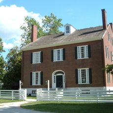
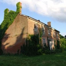
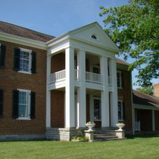
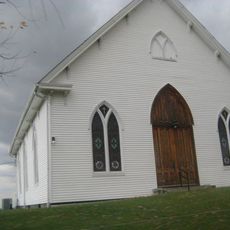
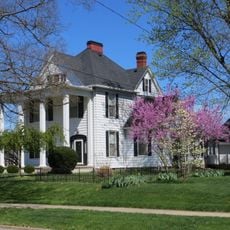
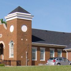
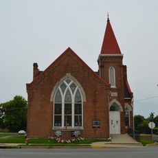
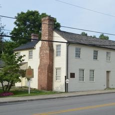
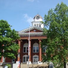
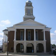
Garrard County is an administrative division in central Kentucky characterized by gently rolling hills and productive farmland. Lancaster serves as the county seat and functions as the hub for local governance and community life.

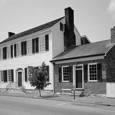
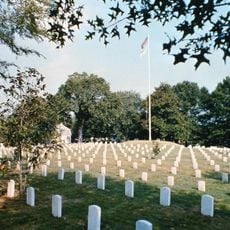
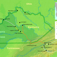
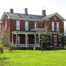
The county was established in 1796 and named for James Garrard, Kentucky's second governor who served from 1796 to 1804. Camp Dick Robinson, located here, served as the first Federal military installation south of the Ohio River during the Civil War era.

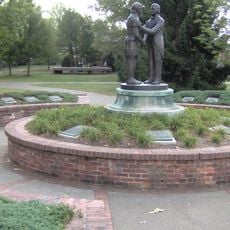
The area carries the name of James Garrard, an early governor of Kentucky, whose legacy remains woven into local identity and storytelling. Residents and visitors can explore historical sites that reflect this connection to the state's founding era.

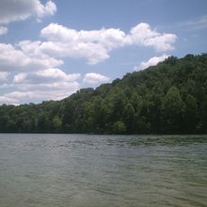
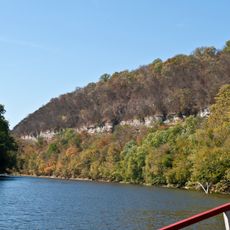
Spring and fall offer the most comfortable conditions for exploring the area and visiting outdoor locations. Lancaster, positioned centrally, provides convenient access to local services and serves as an easy reference point for orientation.

This area maintained a prohibition on alcohol sales for more than two centuries until residents voted in November 2023 to end this long-standing restriction. This shift reflects changing attitudes within the community about personal choices and local policy.

Location: Kentucky

Inception: December 17, 1796

Capital city: Lancaster

Elevation above the sea: 266 m

Shares border with: Jessamine County, Madison County, Rockcastle County, Lincoln County, Boyle County, Mercer County

Website: https://garrardcounty.us

GPS coordinates: 37.63958,-84.53763

Latest update: December 7, 2025 20:24

Photos
Around this place
Show the full map
Pleasant Hill
United States of America

Pleasant Hill

26.7 km
High Bridge of Kentucky
United States of America

High Bridge of Kentucky

25.4 km
Herrington Lake
United States of America

Herrington Lake

18.2 km
Cedar Creek Lake
United States of America

Cedar Creek Lake

17.8 km
Kentucky River Palisades
United States of America

Kentucky River Palisades

16 km
Pioneer Playhouse
United States of America

Pioneer Playhouse

19.3 km
Constitution Square State Historic Site
United States of America

Constitution Square State Historic Site

20.6 km
Tom Dorman State Nature Preserve
United States of America

Tom Dorman State Nature Preserve

16 km
Ephraim McDowell House
United States of America

Ephraim McDowell House

20.6 km
Danville National Cemetery
United States of America

Danville National Cemetery

20.5 km
Old Garrard County Jail
United States of America

Old Garrard County Jail

4.3 km
Waveland
United States of America

Waveland

20.4 km
Governor William Owsley House
United States of America

Governor William Owsley House

5.1 km
Carry A. Nation House
United States of America

Carry A. Nation House

18.1 km
Logan Trace
United States of America

Logan Trace

16.6 km
Kirksville Christian Church
United States of America

Kirksville Christian Church

11.8 km
Jennings-Salter House
United States of America

Jennings-Salter House

4.4 km
East Main Street Historic District
United States of America

East Main Street Historic District

19.8 km
James W. Alcorn House
United States of America

James W. Alcorn House

16.6 km
Bryantsville United Methodist Church
United States of America

Bryantsville United Methodist Church

12.9 km
Methodist Episcopal Church
United States of America

Methodist Episcopal Church

4.4 km
Denny Place
United States of America

Denny Place

4 km
Wherritt House
United States of America

Wherritt House

4.1 km
Samuel and Mary Logan Briggs House
United States of America

Samuel and Mary Logan Briggs House

16.6 km
Billy Ball House
United States of America

Billy Ball House

4.1 km
Lincoln County Courthouse
United States of America

Lincoln County Courthouse

16.4 km
Lancaster Commercial Historic District
United States of America

Lancaster Commercial Historic District

4.3 km
Roberts Chapel United Methodist Church
United States of America

Roberts Chapel United Methodist Church

20.6 km
Show the full map
Reviews

Visited this place? Tap the stars to rate it and share your experience / photos with the community! Try now! You can cancel it anytime.

« Garrard County - Administrative county in central Kentucky, United States » is provided by Around Us (aroundus.com). Images and texts are derived from Wikimedia project under a Creative Commons license. You are allowed to copy, distribute, and modify copies of this page, under the conditions set by the license, as long as this note is clearly visible.

Discover hidden gems everywhere you go!

From secret cafés to breathtaking viewpoints, skip the crowded tourist spots and find places that match your style. Our app makes it easy with voice search, smart filtering, route optimization, and insider tips from travelers worldwide. Download now for the complete mobile experience.

Around Us App Screenshot

A unique approach to discovering new places

Le Figaro

All the places worth exploring

France Info

A tailor-made excursion in just a few clicks

20 Minutes