Enable Location

We need your location to show you interesting places around you

Discover nearby places

Find interesting locations and hidden gems around you

Precise directions

Get accurate directions and distances to places

Your location is never shared with other users. It's only used when you tap the location button.

Antelope County

Log in to your account

Start exploring — it's free

Trusted by 63,461 travelers worldwide

Continue with Google
Continue with Apple
or

We will send you a code to connect

By continuing, you accept our Terms and Conditions and our Privacy Policy

Check your inbox

We've sent a pincode in your inbox. Please enter the code below.

Discussion Reviews 1 Photos
9k Popularity

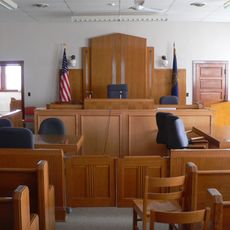
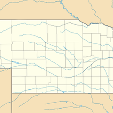
Antelope County, County in northeastern Nebraska, United States

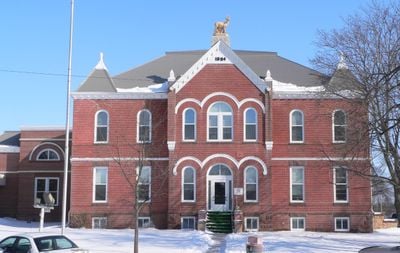
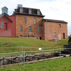
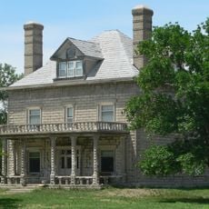
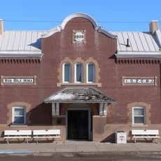
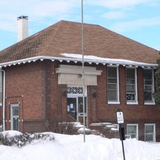
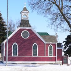
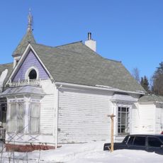
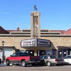
Antelope County is an administrative division in northeastern Nebraska covering around 859 square miles with several small towns spread throughout. Neligh, Elgin, and Clearwater serve as the main communities within this agricultural region.

The county took its name in 1871 when early settlers spotted pronghorns in the area and mistakenly called them antelopes. This naming error has remained part of the county's identity since its founding.

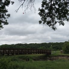
Residents practice farming traditions through county fairs and harvest celebrations that bring people together across generations. These events form the heart of community life throughout the region.

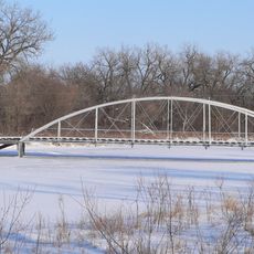
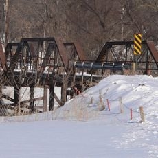
The area is connected by U.S. Highway 20, U.S. Highway 275, and various state highways that link to larger centers nearby. These routes make access straightforward from surrounding regions.

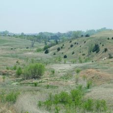
The Ashfall Fossil Beds preserve millions of years old animal remains that were buried in volcanic ash. This site offers a window into the prehistoric life that once inhabited the region.

The community of curious travelers

AroundUs brings together thousands of curated places, local tips, and hidden gems, enriched daily by 60,000 contributors worldwide.

Start exploring
Location
Inception
1871
Capital city
Neligh
Shares border with
Knox County, Boone County, Wheeler County, Holt County, Madison County, Pierce County
GPS coordinates
42.18000,-98.07000
Latest update
December 10, 2025 15:59
Around this place
Ashfall Fossil Beds
United States of America

Ashfall Fossil Beds

28.2 km
Neligh Mill
United States of America

Neligh Mill

6.8 km
Olson Nature Preserve
United States of America

Olson Nature Preserve

42.4 km
A.T. Ranch Headquarters
United States of America

A.T. Ranch Headquarters

43.9 km
Z.C.B.J. Opera House
United States of America

Z.C.B.J. Opera House

46.5 km
Gilman Park Arboretum
United States of America

Gilman Park Arboretum

45.5 km
Willow Creek Bridge
United States of America

Willow Creek Bridge

33.2 km
Plainview Carnegie Library
United States of America

Plainview Carnegie Library

29.7 km
Athletic Park Band Shell
United States of America

Athletic Park Band Shell

30 km
St. Peter's Episcopal Church
United States of America

St. Peter's Episcopal Church

6.6 km
Neligh Mill Bridge
United States of America

Neligh Mill Bridge

6.9 km
Knox County Courthouse
United States of America

Knox County Courthouse

50.3 km
Elkhorn River Bridge
United States of America

Elkhorn River Bridge

5.1 km
Norfolk Carnegie Library
United States of America

Norfolk Carnegie Library

56.3 km
Former Wheeler County Courthouse
United States of America

Former Wheeler County Courthouse

51.7 km
Verdigris Creek Bridge
United States of America

Verdigris Creek Bridge

20.1 km
Warrick House
United States of America

Warrick House

32.4 km
Stubbs–Ballah House
United States of America

Stubbs–Ballah House

55.9 km
Mathewson–Gerecke House
United States of America

Mathewson–Gerecke House

55.8 km
Maybury–McPherson House
United States of America

Maybury–McPherson House

6.8 km
Distrito electoral de Valley (condado de Madison, Nebraska)
United States of America

Distrito electoral de Valley (condado de Madison, Nebraska)

47.3 km
New Moon Theater
United States of America

New Moon Theater

6.7 km
NCRC Elkhorn River Bridge
United States of America

NCRC Elkhorn River Bridge

55.3 km
Bazile Creek Bridge
United States of America

Bazile Creek Bridge

50.1 km
Meridian Highway Bridge
United States of America

Meridian Highway Bridge

48.3 km
Meridian Highway North Fork Bridge
United States of America

Meridian Highway North Fork Bridge

48.3 km
Willow Creek Bridge
United States of America

Willow Creek Bridge

33.2 km
Gross State Aid Bridge
United States of America

Gross State Aid Bridge

52.9 km
Show the full map
Reviews
Share your experience

No review yet

Discussions
Start a discussion...

No discussion yet

« Antelope County - County in northeastern Nebraska, United States » is provided by Around Us (aroundus.com). Images and texts are derived from Wikimedia project under a Creative Commons license. You are allowed to copy, distribute, and modify copies of this page, under the conditions set by the license, as long as this note is clearly visible.

Discover hidden gems everywhere you go!

From secret cafés to breathtaking viewpoints, skip the crowded tourist spots and find places that match your style. Our app makes it easy with voice search, smart filtering, route optimization, and insider tips from travelers worldwide. Download now for the complete mobile experience.

Around Us App Screenshot

A unique approach to discovering new places

Le Figaro

All the places worth exploring

France Info

A tailor-made excursion in just a few clicks

20 Minutes

Around Us
Travel Guide & Maps
Download

Send to your phone

QR Code
1

Open the camera app on your mobile.

2

Point at the QR code with your camera. A notification will appear.

3

Tap the notification to open the link.